Penokee Moutain Ski Trail
- 0.5 mi
- round trip
- 65 ft
- climb
- 1,448 ft
- high point
- Out and back
- route
- May–Sep
- best months
Is Penokee Moutain Ski Trail open right now?
Closure in the area
There's a closure order in Chequamegon-Nicolet National Forest. It doesn't name Penokee Moutain Ski Trail, so check the source for the area it covers (2 listed).
Trail work and picnic area improvements at Morgan Falls/St. Peter's Dome Recreation Area this fall
Agency closure covering Chequamegon-Nicolet National Forest · USFS · Chequamegon-Nicolet National Forest
Forest Order 09-13-25-02 General Occupancy and Use Restrictions
Agency closure covering Chequamegon-Nicolet National Forest · Order 09-13-25-02 · USFS · Chequamegon-Nicolet National Forest
As of · Source: USFS · Chequamegon-Nicolet National Forest. Agencies don't list every closure — check before you go.
The Penokee Mountain Ski Trail is a short, out-and-back cross-country ski route in the Great Divide Ranger District of the Chequamegon-Nicolet National Forest in northern Wisconsin. The Forest Service manages the land, and the trail sits at about 1,418 feet, with a high point of 1,448 feet. The climb is front-loaded, with the steepest stretch at about 0.18 miles in, and the total round-trip gain is 65 feet. Winter is the natural season for this trail. Typical averages from a nearby weather station at Mellen show January highs around 21°F with lows near 2°F and about 13 snow days. By April, highs reach about 50°F with only a few snow days, and summer runs warm and snow-free, with July highs near 77°F. The trail is close to other routes. The North Country Trail and the North Country National 604-390 are both about 0.3 miles away, and the Penokee Mtn Ski Trail 3.2 KM hike is about 0.4 miles off. For an overnight stay, Mineral Lake campground is about 5.4 miles away.
- Penokee Mountain Ski TrailCross-country skiing0.3 mi
- North Country National 604-390Hiking0.3 mi
- North Country TrailCross-country skiing0.3 mi
- PENOKEE MTN SKI TRAIL 3.2 KMHiking0.4 mi
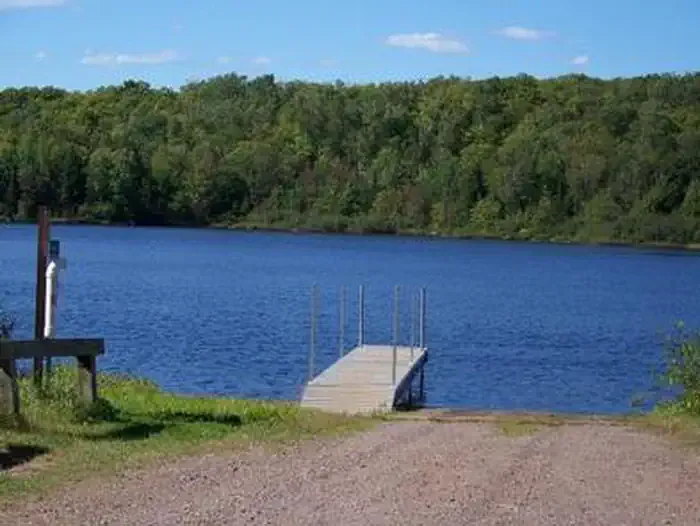 Mineral LakeCampingPhoto: Recreation.gov (RIDB) / public domain5.4 mi
 Lake ThreeCampingPhoto: Recreation.gov (RIDB) / public domain6.5 mi
 Beaver Lake (Chequamegon-Nicolet NF, WI)CampingPhoto: Recreation.gov (RIDB) / public domain7.5 mi
- Beaver LakeCamping8.4 mi
Source: Roamze catalog (indexable pages within 10 miles, PostGIS distance)
- Conservancy TrailCross-country skiing · ~34 min drive
- Rock Lake National RecreationCross-country skiing · ~37 min drive
- Whitecap MountainDownhill skiing · ~28 min drive
- Easy Way Out TrailCross-country skiing · ~8 min drive
- Forest Lodge Nature TrailCross-country skiing · ~34 min drive
- Rock Lake National Rec 7.1KmCross-country skiing · ~37 min drive
- Takesson TrailCross-country skiing · ~8 min drive
- Nglvc Boardwalk North Loop SnoCross-country skiing · ~37 min drive
- Rock Lake National Rec 4KmCross-country skiing · ~37 min drive
- Pipeline TrailCross-country skiing · ~8 min drive
Best time to visit Penokee Moutain Ski Trail
Best months: May–September. Best months have typical highs of 55–85 °F, lows of 30 °F or warmer (32 °F where the station doesn't record snow), at most one snowy day and no more than 12 wet days.
Jan
21° / 2°
13 wet · 13 snow
Feb
26° / 5°
10 wet · 10 snow
Mar
37° / 15°
10 wet · 8 snow
Apr
50° / 28°
11 wet · 3 snow
May
64° / 40°
12 wet · 1 snow
Jun
73° / 50°
12 wet
Jul
77° / 55°
11 wet
Aug
76° / 54°
10 wet
Sep
68° / 46°
11 wet
Oct
54° / 34°
12 wet · 2 snow
Nov
38° / 22°
11 wet · 6 snow
Dec
26° / 10°
13 wet · 11 snow
Typical high / low (°F) and days with rain or snow, 1991–2020. Measured at Mellen 4 Ne, WI, 5.3 mi away at 1,300 ft. Source: NOAA NCEI U.S. Climate Normals 1991–2020.
Map and trail data © OpenStreetMap contributors
