DunGlen Campsite
Campground
Campground · 0.9 mi from the trail
No closures listed
The National Park Service lists no closures for New River Gorge National Park and Preserve.
As of · Source: NPS · New River Gorge National Park and Preserve. Agencies don't list every closure — check before you go.
Arbuckle Connector Trail is a short, easy loop in New River Gorge National Park and Preserve in West Virginia, managed by the National Park Service. The trail is about half a mile long, with a total elevation gain of 200 feet and a high point of 1,298 feet. It makes a quick addition to a day spent exploring the park's network of trails. The route is a loop, and the steepest stretch comes early on, with a grade of about 19% at 0.06 miles. The trail also has a total loss of 363 feet, so it's not a straightforward climb up and back. For comfortable weather, aim for late spring or early fall. Typical averages from a nearby weather station in Oak Hill show May highs around 72°F and September highs around 75°F, with September also seeing the fewest wet days of the year. The Southside Trail starts just 0.1 mile away, and the Rend Trail is about 1.2 miles off. Climbers can head to Needleseye Boulder Park, about 2.2 miles away, and paddlers will find Dunloup Creek roughly 4.4 miles from the trail.
DunGlen Campsite
Campground
 If it rainsCoal town guy, CC BY-SA 3.0 · Wikimedia Commons
Places © OpenStreetMap contributors, Places © Overture Maps Foundation · Photos: Coal town guy, CC BY-SA 3.0 (commons)
More in Fayetteville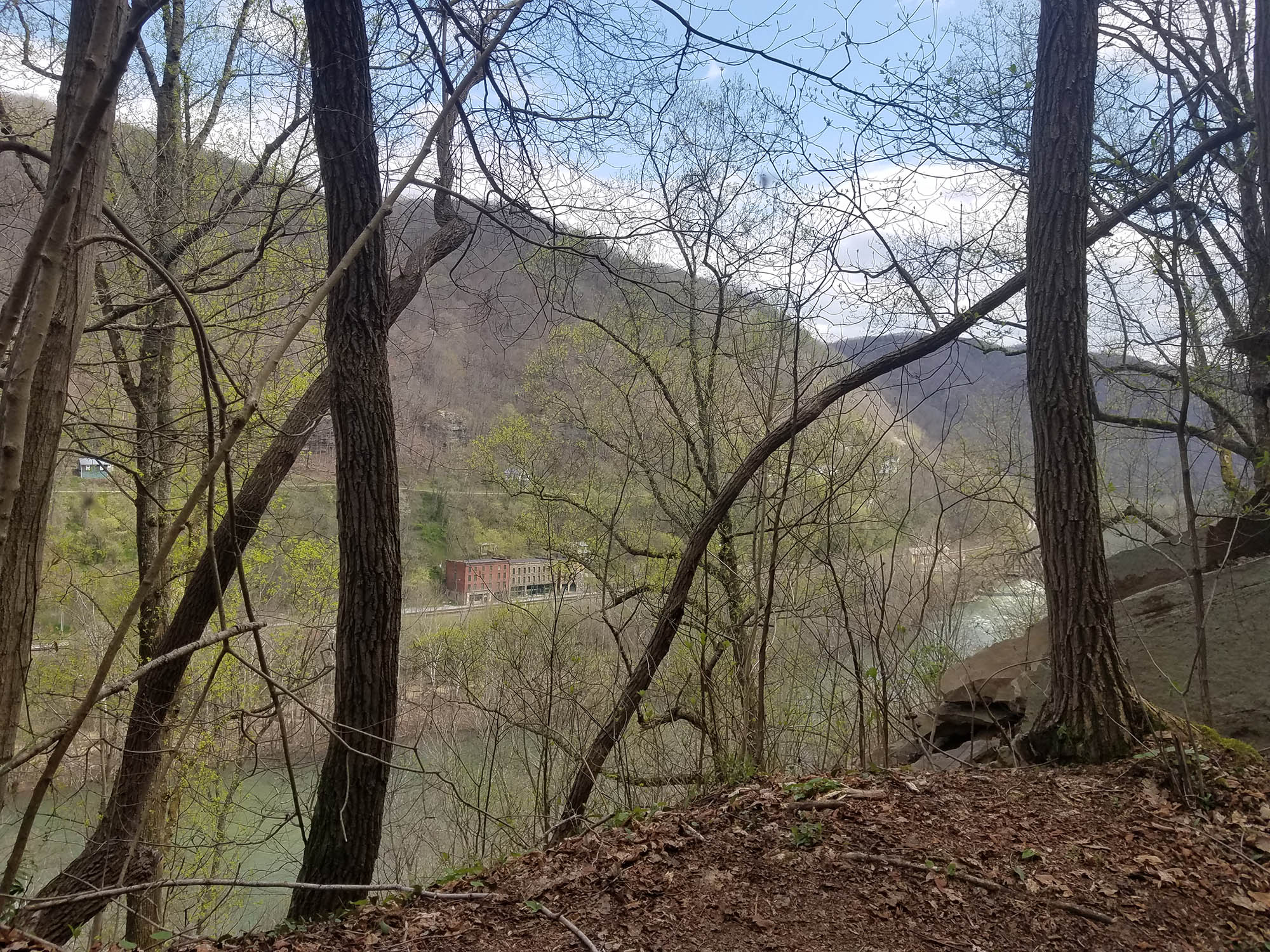 Rend TrailHikingPhoto: NPS/Dave Bieri1.2 mi
Source: Roamze catalog (indexable pages within 10 miles, PostGIS distance)
Best months: June–October. Best months have typical highs of 55–85 °F, lows of 30 °F or warmer (32 °F where the station doesn't record snow), at most one snowy day and no more than 12 wet days.
Jan
41° / 23°
15 wet
Feb
44° / 25°
13 wet
Mar
52° / 31°
14 wet
Apr
64° / 41°
14 wet
May
72° / 50°
14 wet
Jun
79° / 58°
12 wet
Jul
81° / 61°
12 wet
Aug
81° / 60°
11 wet
Sep
75° / 54°
9 wet
Oct
65° / 42°
10 wet
Nov
54° / 33°
11 wet
Dec
45° / 27°
14 wet
Typical high / low (°F) and days with rain or snow, 1991–2020. Measured at Oak Hill, WV, 3.6 mi away at 2,040 ft. The station sits about 700 ft higher than this place, so expect it a little warmer here. This station doesn't record snowfall. Source: NOAA NCEI U.S. Climate Normals 1991–2020.
Map and trail data © OpenStreetMap contributors
