Camp Hazard
Campground
Campground · 1.9 mi from the trail
 Photo: Stan Shebs, CC BY-SA 3.0 (via Wikimedia Commons)
Closure in the area
There's a closure order in Mount Rainier National Park. It doesn't name Liberty Cap, so check the source for the area it covers.
Paradise Road Status: Open, traction tires advised, gate closing at 3 pm.
Park closure covering Mount Rainier National Park · NPS · Mount Rainier National Park
WILDFIRE CLOSURES: Sunrise & northern trails.
Park alert covering Mount Rainier National Park · NPS · Mount Rainier National Park
As of · Source: NPS · Mount Rainier National Park. Agencies don't list every closure — check before you go.
Liberty Cap is a summit of about 14,119 feet in Pierce County, Washington, inside Mount Rainier National Park and the Mount Rainier Wilderness. The National Park Service manages the land, and the nearest town is Ashford, about 14 miles away. The closest neighbor is the Mount Rainier climbing area, about a mile away. Glacier Basin Trail and Burroughs Mtn are both within about 4.5 miles, and Cougar Rock Campground is roughly 7 miles off.
Camp Hazard
Campground
 If it rainsSteven Pavlov, CC BY-SA 4.0 · Wikimedia Commons
Places © OpenStreetMap contributors · Photos: Steven Pavlov, CC BY-SA 4.0 (commons)
More in PackwoodDaily highs and lows, wind and the chance of precipitation at the summit and glacier basin trailhead for the next 7 days, from the Open-Meteo model.
Elevation from USGS 3D Elevation Program terrain data (about 10 m resolution).
14,119 ft (4,303 m).
One: Liberty Cap.
Liberty Cap starts at Glacier Basin Trailhead.
 Mount RainierRock climbingPhoto: shinsain, CC BY-SA 2.0 (via Flickr)1 mi
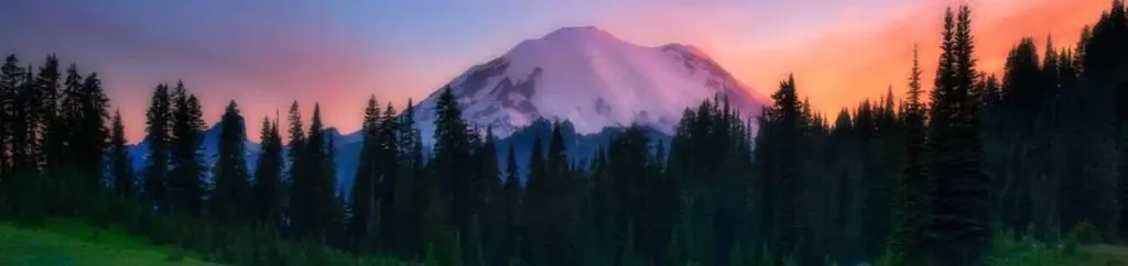 Cougar Rock CampgroundCampingPhoto: Recreation.gov (RIDB) / public domain6.7 mi
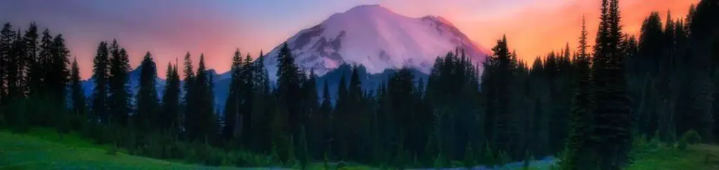 Cougar Rock Group CampgroundCampingPhoto: Recreation.gov (RIDB) / public domain6.7 mi
 Tatoosh RangeRock climbingPhoto: Purplepumpkins, CC BY-SA 4.0 (via Wikimedia Commons)7.6 mi
Source: Roamze catalog (indexable pages within 10 miles, PostGIS distance)
 Gibraltar RockSummit · ~3 min drivePhoto: Buidhe, CC BY-SA 4.0 (via Wikimedia Commons)
 Steamboat ProwSummit · ~4 min drivePhoto: Walter Siegmund (talk), CC BY 2.5 (via Wikimedia Commons)
 Little Tahoma PeakSummit · ~5 min drivePhoto: Thomas Loarie II (talk · contribs), CC BY-SA 3.0 (via Wikimedia Commons)
 Crescent MountainSummit · ~10 min drivePhoto: Leaf Petersen, CC BY 2.5 (via Wikimedia Commons)
 Lane PeakSummit · ~13 min drivePhoto: Ron Clausen, CC BY-SA 4.0 (via Wikimedia Commons)
 Eagle PeakSummit · ~13 min drivePhoto: Ron Clausen, CC BY-SA 4.0 (via Wikimedia Commons)
 Denman PeakSummit · ~13 min drivePhoto: Ron Clausen, CC BY-SA 4.0 (via Wikimedia Commons)
 Pinnacle PeakSummit · ~13 min drivePhoto: SolYoun, CC BY 2.0 (via Wikimedia Commons)
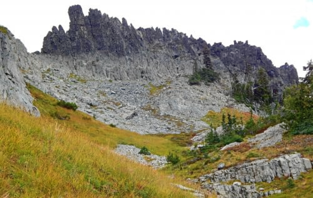 The CastleSummit · ~13 min drivePhoto: Ron Clausen, CC BY-SA 4.0 (via Wikimedia Commons)
 Plummer PeakSummit · ~13 min drivePhoto: Peter Stevens (Nordique), CC BY 2.0 (via Wikimedia Commons)
Also worth it near here
Mount RainierRock climbing · ~2 min drivePhoto: shinsain, CC BY-SA 2.0 (via Flickr) Camp MuirCamping · ~5 min drivePhoto: Mitch from Costa Mesa, CA, USA, CC BY-SA 2.0 (via Wikimedia Commons)
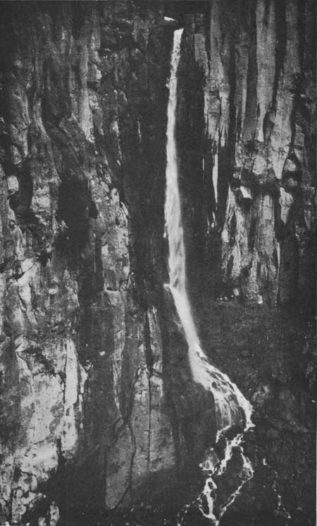 Pearl FallsWaterfall · ~8 min drivePhoto: National Park Service, Public domain (via Wikimedia Commons)
 Mildred PointHiking · ~8 min drivePhoto: brewbooks — CC BY-SA 2.0 (via Flickr)
