Vanson Peak
- 4,947 ft
- summit
- 2
- ways up
- Jul–Sep
- best months
Is Vanson Peak open right now?
Alert in the area
The Forest Service lists 6 alerts for Gifford Pinchot National Forest.
Fire Restrictions
Agency alert covering Gifford Pinchot National Forest · USFS · Gifford Pinchot National Forest
Seasonal Road Closures
Agency alert covering Gifford Pinchot National Forest · USFS · Gifford Pinchot National Forest
Road Repairs & Road Closures in 2026
Agency alert covering Gifford Pinchot National Forest · USFS · Gifford Pinchot National Forest
Washout on Forest Road 93
Agency alert covering Gifford Pinchot National Forest · USFS · Gifford Pinchot National Forest
Upper State Route 504 closed at milepost 45.2 due to large slide
Agency alert covering Gifford Pinchot National Forest · USFS · Gifford Pinchot National Forest
As of · Source: USFS · Gifford Pinchot National Forest. Agencies don't list every closure — check before you go.
Vanson Peak is a summit of 4,947 feet in Washington's Gifford Pinchot National Forest, within the Mount St. Helens National Volcanic Monument. The nearest town is Morton, about 12 miles away. Summer is the most comfortable time to go. Typical averages from a nearby weather station at a similar elevation show July highs around 62°F and lows near 44°F, while winter highs stay in the mid-30s. The Vanson Peak Trail #217A starts just 0.1 mile from the summit, and Vanson Lake is about 0.4 mile away. Goat Creek Trail #205 and Goat Mountain are both within about 1.5 miles.
Conditions and forecast
Daily highs and lows, wind and the chance of precipitation at the summit and route start for the next 7 days, from the Open-Meteo model.
- Summit elevation
- 4,947 ft
Elevation from USGS 3D Elevation Program terrain data (about 10 m resolution).
- VANSON PEAKModerateabout 951 ft of climbing2.2 mi round trip
- Vanson Peak Trail #217AModerateabout 1,381 ft of climbing2.9 mi round trip
Compare the routes VANSON PEAK Vanson Peak Trail #217A Climbing About 951 ft About 1,381 ft Round trip 2.2 mi 2.9 mi Difficulty Moderate Moderate Terrain Hike Hike Map © Mapbox © OpenStreetMap contributors Questions about Vanson Peak
How tall is Vanson Peak?
4,947 ft (1,508 m).
How many routes go to the summit of Vanson Peak?
2: VANSON PEAK and Vanson Peak Trail #217A.
What is the shortest route up Vanson Peak?
VANSON PEAK, about 2.2 mi round trip.
- Mount Whittier5,868 ft · Washington1 route5.9 mi away
- Coldwater Peak5,726 ft · Washington2 routes7.7 mi away
- Smith Creek Butte3,816 ft · Washington1 route15 mi away
- Badger Peak5,660 ft · Washington1 route15 mi away
 Mount Saint Helens8,280 ft · Washington1 route15 mi awayPhoto: U.S. Forest Service- Pacific Northwest Region, Public domain (via Wikimedia Commons)
- McCoy Peak5,848 ft · Washington1 route17 mi away
- Vanson Peak Trail #217AHiking0.1 mi
- Vanson LakeHiking0.4 mi
- Goat CreekCanoeing1.3 mi
- Goat Creek Trail #205Hiking1.4 mi
- GOAT MOUNTAINHiking1.5 mi
- Green RiverCanoeing3.5 mi
- Landers CreekCanoeing3.6 mi
 Iron Creek CampgroundCampingPhoto: Recreation.gov (RIDB) / public domain8 mi
Source: Roamze catalog (indexable pages within 10 miles, PostGIS distance)
- Mount Saint HelensSummit · ~26 min drivePhoto: U.S. Forest Service- Pacific Northwest Region, Public domain (via Wikimedia Commons)
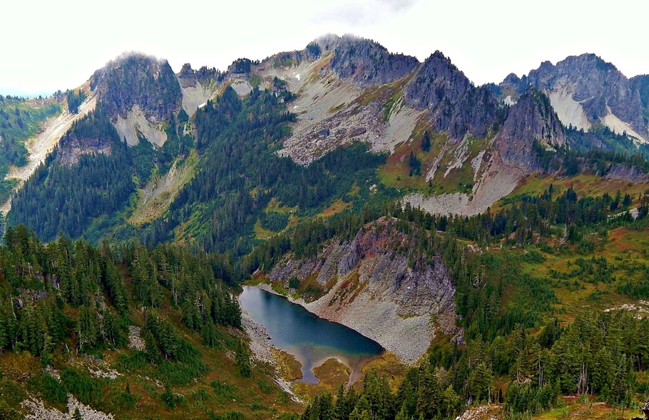 Wahpenayo PeakSummit · ~51 min drivePhoto: Ron Clausen, CC BY-SA 4.0 (via Wikimedia Commons)
 Eagle PeakSummit · ~51 min drivePhoto: Ron Clausen, CC BY-SA 4.0 (via Wikimedia Commons)
 Lane PeakSummit · ~53 min drivePhoto: Ron Clausen, CC BY-SA 4.0 (via Wikimedia Commons)
 Plummer PeakSummit · ~53 min drivePhoto: Peter Stevens (Nordique), CC BY 2.0 (via Wikimedia Commons)
 Denman PeakSummit · ~53 min drivePhoto: Ron Clausen, CC BY-SA 4.0 (via Wikimedia Commons)
 Pinnacle PeakSummit · ~54 min drivePhoto: SolYoun, CC BY 2.0 (via Wikimedia Commons)
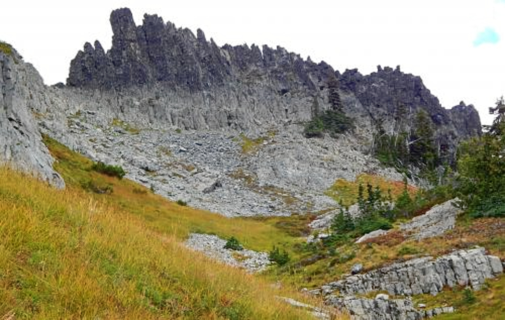 The CastleSummit · ~54 min drivePhoto: Ron Clausen, CC BY-SA 4.0 (via Wikimedia Commons)
 Unicorn PeakSummit · ~54 min drivePhoto: Ron Clausen, CC BY-SA 4.0 (via Wikimedia Commons)
 Lemei RockSummit · ~56 min drivePhoto: FizzyUnicorn, CC BY-SA 3.0 (via Wikimedia Commons)
Best time to visit Vanson Peak
Best months: July–September. Best months have typical highs of 55–85 °F, lows of 30 °F or warmer (32 °F where the station doesn't record snow), at most one snowy day and no more than 12 wet days.
Jan
34° / 24°
Feb
34° / 23°
Mar
36° / 24°
Apr
40° / 26°
May
48° / 33°
Jun
54° / 37°
Jul
62° / 44°
Aug
64° / 45°
Sep
57° / 41°
Oct
46° / 33°
Nov
37° / 26°
Dec
33° / 22°
Typical high / low (°F) and days with rain or snow, 1991–2020. Measured at Rainier Paradise Rs, WA, 32.5 mi away at 5,427 ft. This station doesn't record snowfall. Source: NOAA NCEI U.S. Climate Normals 1991–2020.

