Mountain · 1 route
Smith Creek Butte
3,816 ft · Washington
- Summit
- 3,816 ft
- Routes
- 1 way up
Route up Smith Creek Butte
About Smith Creek Butte
Smith Creek Butte is a summit in Mount St. Helens National Volcanic Monument, part of Gifford Pinchot National Forest in southwest Washington. The nearest town is Cougar, about 16 miles away. The Smith Creek Butte Trail lies about a mile from the summit, and the Smith Creek hike is about 1.5 miles away. Lava Canyon is less than 3 miles off. Lower Falls Campground, about 9 miles away, is the closest campground.
Forecast on Smith Creek Butte
Daily highs and lows, wind and the chance of precipitation at the summit and route start for the next 7 days, from the Open-Meteo model.
Questions about Smith Creek Butte
How tall is Smith Creek Butte?
3,816 ft (1,163 m).
How many routes go to the summit of Smith Creek Butte?
One: Smith Creek Butte.
Mountains nearby
- Spencer Butte4,252 ft · Washington1 route6.4 mi away
 Mount Saint Helens8,280 ft · Washington1 route6.8 mi awayPhoto: U.S. Forest Service- Pacific Northwest Region, Public domain (via Wikimedia Commons)
- Coldwater Peak5,726 ft · Washington2 routes8.7 mi away
- Mount Whittier5,868 ft · Washington1 route8.8 mi away
- Badger Peak5,660 ft · Washington1 route9.3 mi away
- House Rock2,497 ft · Washington1 route9.9 mi away
Facts about this place
Where it is
- Mount St. Helens National Volcanic Monument · Ranger district
- Gifford Pinchot National Forest · National forest
- Nearest town
- Cougar, Washington · 16 mi
Conditions
Active alerts for Mount St. Helens National Volcanic Monument as of Oct 9, 2026:
Drift Creek Cove Fire Restrictions
information · posted Aug 24, 2026
Drift Creek Cove Camping Restrictions
information · posted Aug 24, 2026
Mount St. Helens Volcanic Monument Restrictions
information · posted Aug 24, 2026
Spirit Lake Infrastructure Project Trail Closures
information · posted Aug 24, 2026
Source: USFS forest alerts
Nearby
- Smith Creek Butte TrailHiking1.2 mi
- Smith CreekHiking1.5 mi
- Clearwater CreekCanoeing2.6 mi
 Muddy RiverCanoeingPhoto: Lyn Topinka, USGS, Public domain (via Wikimedia Commons)2.8 mi
 Lava CanyonHikingPhoto: daveynin — CC BY 2.0 (via Flickr)2.8 mi
- Bean CreekCanoeing3 mi
- Lava Canyon TrailHiking3.3 mi
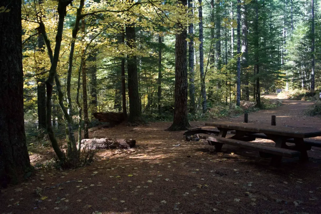 Lower Falls CampgroundCampingPhoto: Recreation.gov (RIDB) / public domain9.2 mi
Source: Roamze catalog (indexable pages within 10 miles, PostGIS distance)
Is Smith Creek Butte open right now?
Alert in the area
The Forest Service lists 9 alerts for Gifford Pinchot National Forest.
Bridge Installation on High Bridge Trail
Agency alert covering Gifford Pinchot National Forest · USFS · Gifford Pinchot National Forest
Fire Restrictions
Agency alert covering Gifford Pinchot National Forest · USFS · Gifford Pinchot National Forest
Seasonal Road Closures
Agency alert covering Gifford Pinchot National Forest · USFS · Gifford Pinchot National Forest
Chinook Trail Bridge Closure
Agency alert covering Gifford Pinchot National Forest · USFS · Gifford Pinchot National Forest
Road Repairs & Road Closures in 2026
Agency alert covering Gifford Pinchot National Forest · USFS · Gifford Pinchot National Forest
As of · Source: USFS · Gifford Pinchot National Forest. Agencies don't list every closure — check before you go.
