Muddy River
 Photo: Lyn Topinka, USGS, Public domain (via Wikimedia Commons)
- 11.1 mi
- distance
- 4,725 ft
- high point
Is Muddy River open right now?
Alert in the area
The Forest Service lists 6 alerts for Gifford Pinchot National Forest.
Fire Restrictions
Agency alert covering Gifford Pinchot National Forest · USFS · Gifford Pinchot National Forest
Seasonal Road Closures
Agency alert covering Gifford Pinchot National Forest · USFS · Gifford Pinchot National Forest
Road Repairs & Road Closures in 2026
Agency alert covering Gifford Pinchot National Forest · USFS · Gifford Pinchot National Forest
Washout on Forest Road 93
Agency alert covering Gifford Pinchot National Forest · USFS · Gifford Pinchot National Forest
Upper State Route 504 closed at milepost 45.2 due to large slide
Agency alert covering Gifford Pinchot National Forest · USFS · Gifford Pinchot National Forest
As of · Source: USFS · Gifford Pinchot National Forest. Agencies don't list every closure — check before you go.
Muddy River is a 11-mile paddling stretch near Carson, Washington. It is intermittent and may run dry in some seasons. USGS models an average flow of about 558 cfs and a gradient of about 311.3 feet per mile. Land along it is managed by the U.S. Forest Service.
Local outfitters
- Riffe Lake Campground28 mi away
- Wet Planet Whitewater38 mi away
Not on Roamze yet. Their page has how to reach them.
 Lava CanyonHikingPhoto: daveynin — CC BY 2.0 (via Flickr)0.3 mi
- Lava Canyon TrailHiking0.6 mi
- Smith Creek ButteHiking1.3 mi
- Smith CreekHiking1.3 mi
- Clearwater CreekCanoeing5.3 mi
- Bean CreekCanoeing5.7 mi
- Swift CreekCanoeing6.6 mi
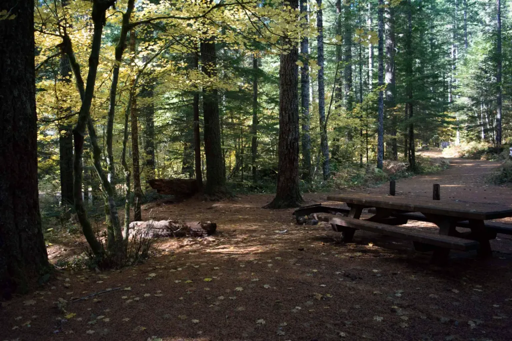 Lower Falls CampgroundCampingPhoto: Recreation.gov (RIDB) / public domain9.5 mi
Source: Roamze catalog (indexable pages within 10 miles, PostGIS distance)
 Castle CreekCanoeing · ~19 min drivePhoto: Credited to Dr. Robert L. Schuster, US Geological Survey, Public domain (via Wikimedia Commons)
- Coldwater Lake Picnic And Boating SiteBoat launch · ~21 min drive
 Kalama RiverCanoeing · ~21 min drivePhoto: M.O. Stevens, CC BY-SA 3.0 (via Wikimedia Commons)
- Mosquito Lakes Boating SiteBoat launch · ~27 min drive
 Lewis RiverCanoeing · ~26 min drivePhoto: pfly, CC BY-SA 2.0 (via Wikimedia Commons)
- Coldwater Lake Boat RampBoat launch · ~21 min drive
 North Fork Toutle RiverCanoeing · ~29 min drivePhoto: Bill Johnson, U.S. Army Corps of Engineers, Public domain (via Wikimedia Commons)
- Smith CreekCanoeing · ~6 min drive
- Bean CreekCanoeing · ~10 min drive
- Swift CreekCanoeing · ~11 min drive
