Smith Creek
- 19.9 mi
- round trip
- 4,493 ft
- climb
- 4,452 ft
- high point
- Out and back
- route
Is Smith Creek open right now?
Alert in the area
The Forest Service lists 6 alerts for Gifford Pinchot National Forest.
Fire Restrictions
Agency alert covering Gifford Pinchot National Forest · USFS · Gifford Pinchot National Forest
Seasonal Road Closures
Agency alert covering Gifford Pinchot National Forest · USFS · Gifford Pinchot National Forest
Road Repairs & Road Closures in 2026
Agency alert covering Gifford Pinchot National Forest · USFS · Gifford Pinchot National Forest
Washout on Forest Road 93
Agency alert covering Gifford Pinchot National Forest · USFS · Gifford Pinchot National Forest
Upper State Route 504 closed at milepost 45.2 due to large slide
Agency alert covering Gifford Pinchot National Forest · USFS · Gifford Pinchot National Forest
As of · Source: USFS · Gifford Pinchot National Forest. Agencies don't list every closure — check before you go.
Smith Creek is a hard hike in Washington's Gifford Pinchot National Forest, within the Mount St. Helens National Volcanic Monument ranger district. The trail is about 20 miles long, with a total elevation gain of roughly 4,500 feet, and it is an out-and-back route that starts at about 1,700 feet and climbs to a high point of 4,450 feet. The steepest stretch comes around mile 5.5, where the grade reaches about 30 percent. The trail is not accessible, and it is a natural-surface route. Plan on about nine hours for the round trip. Several other destinations sit close by. Smith Creek Butte and the Smith Creek Butte Trail are each under a mile away, and Lava Canyon is about 1.4 miles off. Lower Falls Campground, about 9 miles away, offers a place to stay.
Local outfitters
- Riffe Lake Campground28 mi away
- Bike the Gorge37 mi away
Not on Roamze yet. Their page has how to reach them.
- Smith Creek ButteHiking0.8 mi
- Smith Creek Butte TrailHiking0.9 mi
 Muddy RiverCanoeingPhoto: Lyn Topinka, USGS, Public domain (via Wikimedia Commons)1.3 mi
 Lava CanyonHikingPhoto: daveynin — CC BY 2.0 (via Flickr)1.4 mi
- Lava Canyon TrailHiking1.9 mi
- Clearwater CreekCanoeing4 mi
- Bean CreekCanoeing4.5 mi
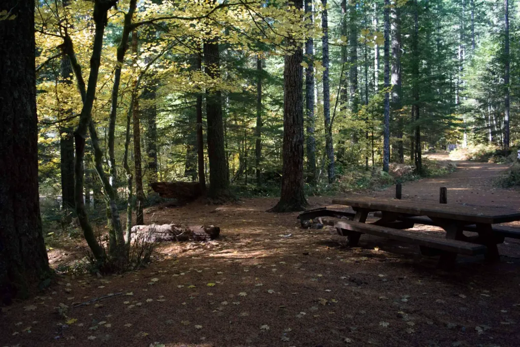 Lower Falls CampgroundCampingPhoto: Recreation.gov (RIDB) / public domain9 mi
Source: Roamze catalog (indexable pages within 10 miles, PostGIS distance)
- Lava CanyonHiking · ~2 min drivePhoto: daveynin — CC BY 2.0 (via Flickr)
 Loowit TrailHiking · ~7 min drivePhoto: InSapphoWeTrust from Los Angeles, California, USA, CC BY-SA 2.0 (via Wikimedia Commons)
 Cedar FlatsHiking · ~10 min drivePhoto: BFS Man from Webster, TX, USA, CC BY 2.0 (via Wikimedia Commons)
- Smith Creek ButteHiking · ~1 min drive
- AbrahamHiking · ~7 min drivePhoto: InSapphoWeTrust from Los Angeles, California, USA, CC BY-SA 2.0 (via Wikimedia Commons)
- Wright Meadow TrailHiking · ~12 min drive
- Smith Creek Butte TrailHiking · ~2 min drive
- TrumanHiking · ~9 min drive
 Harmony TrailHiking · ~11 min drivePhoto: Steven Pavlov, CC BY-SA 3.0 (via Wikimedia Commons)
- Lava Canyon TrailHiking · ~3 min drive
Also worth it near here
- Muddy RiverCanoeing · ~2 min drivePhoto: Lyn Topinka, USGS, Public domain (via Wikimedia Commons)
- Paradise FallsWaterfall · ~7 min drive
- Sasquatch TrailCross-country skiing · ~8 min drive
 Spencer ButteMountain biking · ~11 min drivePhoto: U.S. Forest Service- Pacific Northwest Region, Public domain (via Wikimedia Commons)
