Juanita Lake Camp
Campground
Campground · 4.0 mi from the trail
 Photo: Ron Clausen, CC BY-SA 4.0 (via Wikimedia Commons)
Closure in the area
There's a closure order in Okanogan-Wenatchee National Forest. It doesn't name Reynolds Peak, so check the source for the area it covers (3 listed).
Little Giant Fire Closure Superseding
Agency closure covering Okanogan-Wenatchee National Forest · Order 06-17-07-2026-48 · USFS · Okanogan-Wenatchee National Forest
Railroad and Preston Creek Road Closure
Agency closure covering Okanogan-Wenatchee National Forest · Order 06-17-05-26-04 · USFS · Okanogan-Wenatchee National Forest
MVRD Storm Damaged Roads
Agency closure covering Methow Valley Ranger District · Order 06-17-04-26-09 · USFS · Methow Valley Ranger District
Cle Elum River Restoration Area Closure on the Cle Elum Ranger District
Agency alert covering Okanogan-Wenatchee National Forest · USFS · Okanogan-Wenatchee National Forest
Storm Damaged Roads Closure on Methow Valley District
Agency alert covering Methow Valley Ranger District · Order 06-17-04-26-18 · USFS · Methow Valley Ranger District
As of · Source: USFS · Okanogan-Wenatchee National Forest. Agencies don't list every closure — check before you go.
Reynolds Peak is a summit of about 8,354 feet in Okanogan County, Washington, inside the Lake Chelan-Sawtooth Wilderness. The peak lies within the Methow Valley Ranger District of the Okanogan-Wenatchee National Forest, which the Forest Service manages. The nearest town is Winthrop, about 19 miles away. Several trails start close by, including Boulder Creek Trail at about 2.4 miles and War Creek Trail at about 2.7 miles. Poplar Flat Campground, about 4.4 miles away, and the Twisp River, about 4.6 miles away, are also nearby.
Juanita Lake Camp
Campground
The Confluence
Gallery
Places © OpenStreetMap contributors, Places © Overture Maps Foundation
More in WinthropDaily highs and lows, wind and the chance of precipitation at the summit for the next 7 days, from the Open-Meteo model.
Elevation from USGS 3D Elevation Program terrain data (about 10 m resolution).
We don't know of a mapped trail or route to the summit of Reynolds Peak. Plan the approach with local maps, a guidebook or a local guide, and check conditions before you go.
8,354 ft (2,546 m).
We don't know of a mapped trail or route to the summit. Plan the approach with local maps, a guidebook or a local guide.

Source: Roamze catalog (indexable pages within 10 miles, PostGIS distance)
 Oval PeakSummit · ~15 min drivePhoto: Flightbit, CC BY-SA 4.0 (via Wikimedia Commons)
 Castle RockSummit · ~17 min drivePhoto: Matt Howry, CC BY 2.0 (via Wikimedia Commons)
 Tupshin PeakSummit · ~17 min drivePhoto: Park Ranger, CC BY 2.0 (via Wikimedia Commons)
 North Gardner MountainSummit · ~17 min drivePhoto: Ron Clausen, CC BY-SA 4.0 (via Wikimedia Commons)
 Liberty Bell MountainSummit · ~18 min drivePhoto: Jsayre64, CC BY-SA 3.0 (via Wikimedia Commons)
 Star PeakSummit · ~18 min drivePhoto: brewbooks from near Seattle, USA, CC BY-SA 4.0 (via Wikimedia Commons)
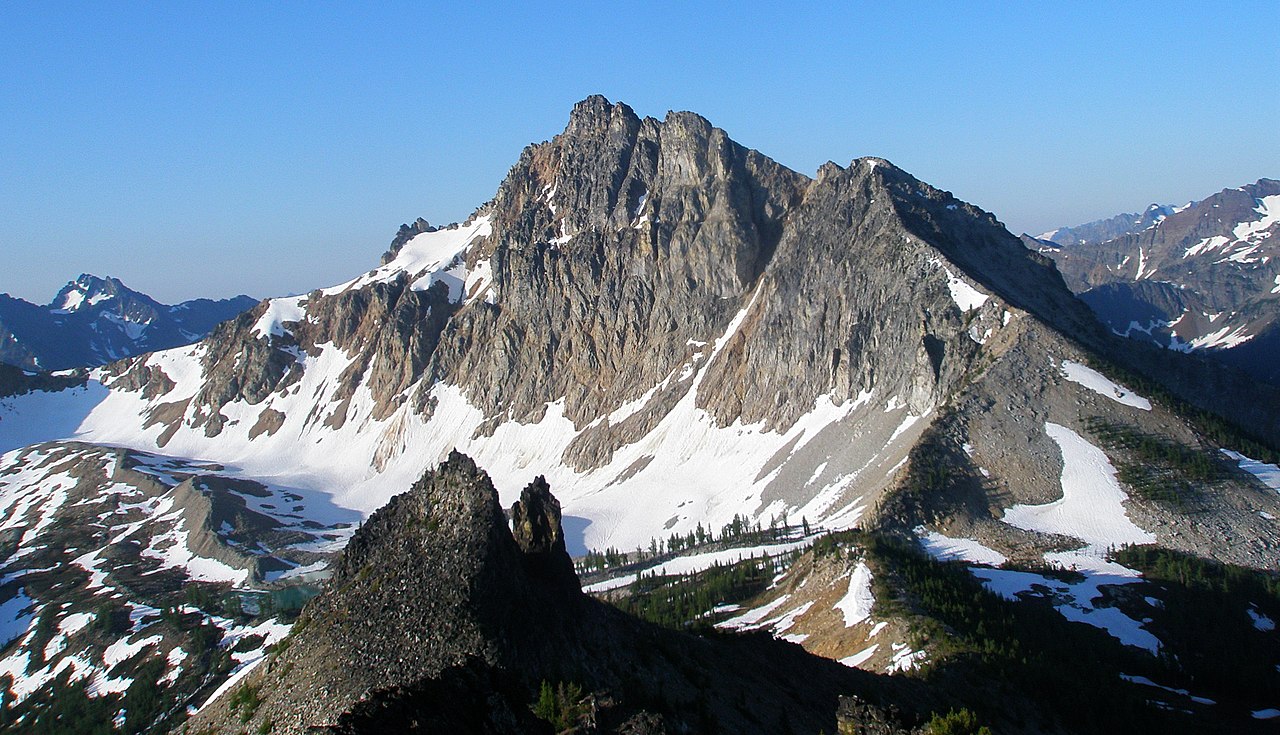 Devore PeakSummit · ~20 min drivePhoto: samara_breeze, CC BY 2.0 (via Wikimedia Commons)
 Whistler MountainSummit · ~20 min drivePhoto: Ron Clausen, CC BY-SA 4.0 (via Wikimedia Commons)
 Silver Star MountainSummit · ~20 min drivePhoto: Josh Lewis, CC BY-SA 3.0 (via Wikimedia Commons)
 Hoodoo PeakSummit · ~23 min drivePhoto: brewbooks from near Seattle, USA, CC BY-SA 2.0 (via Wikimedia Commons)

