Mountain · 1 route
Splawn Mountain
7,460 ft · Washington
- Summit
- 7,460 ft
- Routes
- 1 way up
Route up Splawn Mountain
About Splawn Mountain
Splawn Mountain is a summit of 7,460 feet in the Lake Chelan-Sawtooth Wilderness, part of the Methow Valley Ranger District of the Okanogan-Wenatchee National Forest and the Lake Chelan National Recreation Area in northern Washington. The nearest town is Winthrop, about 21 miles away. The Summit Trail Wilderness starts less than a mile from the peak, and the Purple Creek Trail and Moore Mountain are each about a mile and a half off. Moore Point campground lies roughly 6 miles away.
Forecast on Splawn Mountain
Daily highs and lows, wind and the chance of precipitation at the summit and route start for the next 7 days, from the Open-Meteo model.
Questions about Splawn Mountain
How tall is Splawn Mountain?
7,460 ft (2,274 m).
How many routes go to the summit of Splawn Mountain?
One: Splawn Trail.
Mountains nearby
- Moore Mountain7,693 ft · Washington1 route2.1 mi away
- Williams Butte7,554 ft · Washington1 route4.1 mi away
- Gray Peak8,104 ft · Washington1 route5.6 mi away
- Courtney Peak8,398 ft · Washington1 route6.6 mi away
- Pyramid Mountain8,266 ft · Washington1 route16 mi away
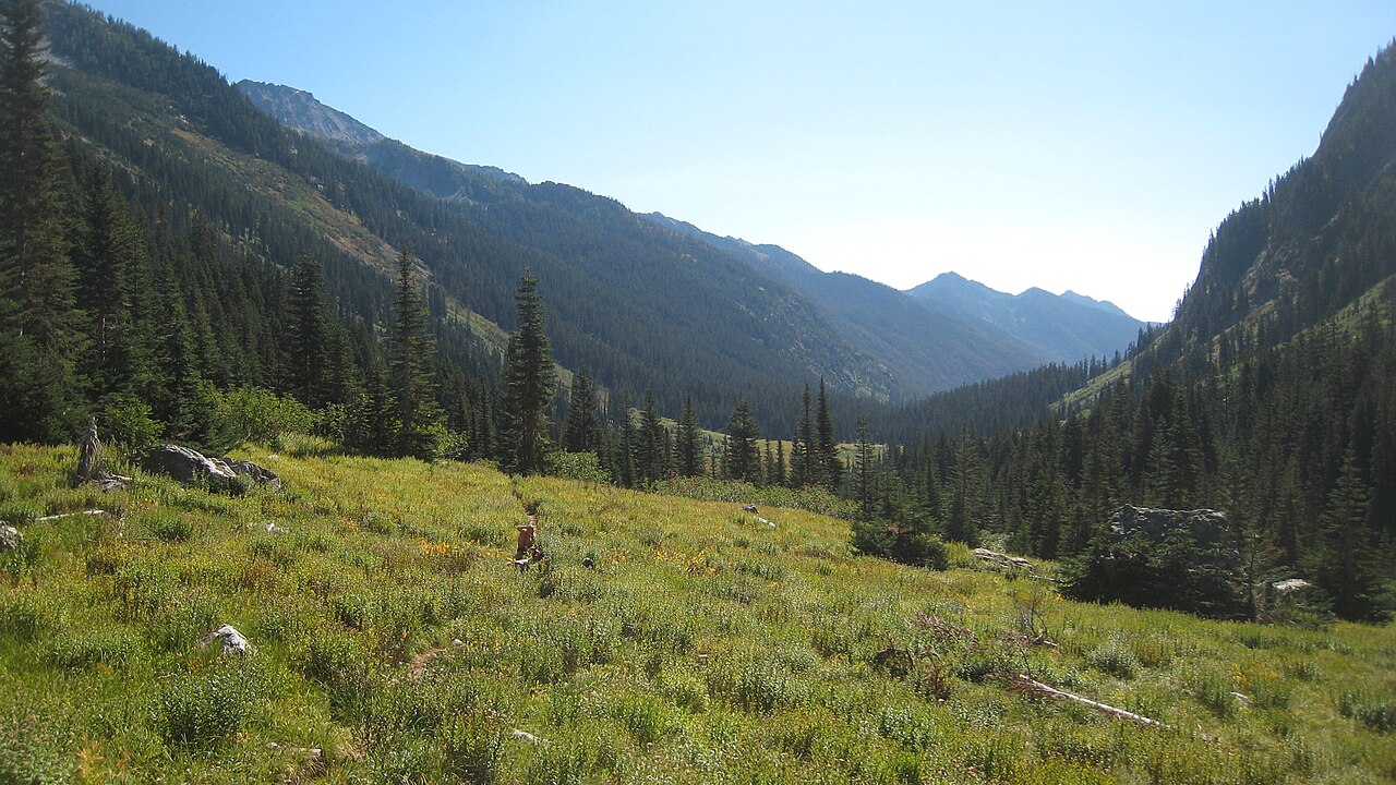 Mount Maude9,075 ft · Washington1 route17 mi awayPhoto: Mark Iverson, CC BY-SA 2.0 (via Wikimedia Commons)
Facts about this place
Where it is
- Lake Chelan-Sawtooth Wilderness · Wilderness
- Methow Valley Ranger District · Ranger district
- Lake Chelan National Recreation Area · National Park Service
- Nearest town
- Winthrop, Washington · 21 mi
Conditions
Active alerts for Methow Valley Ranger District as of Oct 9, 2026:
Ptarmigan Fire Closure on the Methow Valley Ranger District
fire-restriction · posted Sep 9, 2026
Motorized Use Restriction on East Chewuch Road 5010 on the Methow Valley Ranger District
information · posted Aug 24, 2026
Scenic Highway 20 Corridor Mining Closure on the Methow Valley Ranger District
information · posted Aug 24, 2026
Volstead Road Closure on the Methow Valley Ranger District
information · posted Aug 24, 2026
Storm Damaged Roads Closure on Methow Valley District
caution · posted Aug 24, 2026
Paving Closure along Highway 20 Campgrounds and Trailheads - Methow Valley Ranger District
caution · posted Aug 24, 2026
Source: USFS forest alerts
Nearby
 SUMMIT TRAIL WILDERNESSHikingPhoto: U.S. Forest Service- Pacific Northwest Region, Public domain (via Wikimedia Commons)0.8 mi
- Purple Creek TrailHikingPhoto: U.S. Forest Service- Pacific Northwest Region, Public domain (via Wikimedia Commons)1.3 mi
- MOORE MOUNTAINHiking1.4 mi
- Box of Chocolates BouldersRock climbing4.4 mi
- Moore PointCamping6.1 mi
- StehekinRock climbing6.5 mi
- Mystery CampgroundCamping7.3 mi
- Twisp RiverCanoeing7.5 mi
Source: Roamze catalog (indexable pages within 10 miles, PostGIS distance)
Is Splawn Mountain open right now?
Alert in the area
The Forest Service lists 2 alerts for Methow Valley Ranger District.
Ptarmigan Fire Closure on the Methow Valley Ranger District
Agency alert covering Methow Valley Ranger District · Order 06-17-04-26-39 · USFS · Methow Valley Ranger District
Storm Damaged Roads Closure on Methow Valley District
Agency alert covering Methow Valley Ranger District · Order 06-17-04-26-18 · USFS · Methow Valley Ranger District
As of · Source: USFS · Methow Valley Ranger District. Agencies don't list every closure — check before you go.
