Pyramid Peak
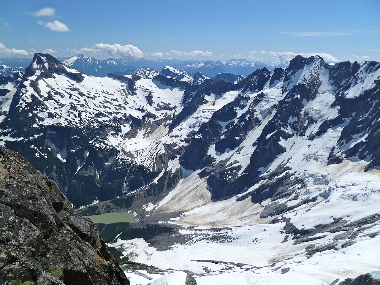
 Photo: Ron Clausen, CC BY-SA 4.0 (via Wikimedia Commons)
- 7,196 ft
- summit
- National Park Service
- managed by
Is Pyramid Peak open right now?
Closure in the area
There's a closure order in North Cascades National Park. It doesn't name Pyramid Peak, so check the source for the area it covers (3 listed).
Cascade River Road Closed for the Winter Season
Park closure covering North Cascades National Park · NPS · North Cascades National Park
Fire Closures - Trail, Area, and Camp Closures
Park closure covering North Cascades National Park · NPS · North Cascades National Park
Hozomeen Gate Remains Closed
Park closure covering North Cascades National Park · NPS · North Cascades National Park
Be Aware of Break-ins along State Route 20
Park alert covering North Cascades National Park · NPS · North Cascades National Park
Diablo Lake Boat Launch Inaccessible to Powerboats
Park alert covering North Cascades National Park · NPS · North Cascades National Park
As of · Source: NPS · North Cascades National Park. Agencies don't list every closure — check before you go.
Pyramid Peak is a summit of about 7,196 feet in Whatcom County, Washington, inside North Cascades National Park and the Stephen Mather Wilderness. The National Park Service manages the land, and the nearest town is Marblemount, about 16 miles away. The closest trails are the Thunder Knob Trial and Pyramid Lake Trail, each about 2.4 miles away, and the Diablo Wall climbing area is about 2.7 miles off. Goodell Creek Campground, about 4.9 miles away, offers a place to stay nearby.
Conditions and forecast
Daily highs and lows, wind and the chance of precipitation at the summit for the next 7 days, from the Open-Meteo model.
- Summit elevation
- 7,196 ft
- Land manager
- National Park Service
Elevation from USGS 3D Elevation Program terrain data (about 10 m resolution).
We don't know of a mapped trail or route to the summit of Pyramid Peak. Plan the approach with local maps, a guidebook or a local guide, and check conditions before you go.
Questions about Pyramid Peak
How tall is Pyramid Peak?
7,196 ft (2,193 m).
Is there a trail to the top of Pyramid Peak?
We don't know of a mapped trail or route to the summit. Plan the approach with local maps, a guidebook or a local guide.
- Crater Mountain8,138 ft · Washington1 route11 mi away
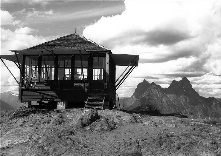
 Lookout Mountain5,703 ft · Washington1 route12 mi awayPhoto: Martin Bravenboer, CC BY 2.0 (via Wikimedia Commons)
 Luna Peak8,303 ft · Washington1 route12 mi awayPhoto: G310ScottS, CC BY-SA 3.0 (via Wikimedia Commons)
 Desolation Peak6,105 ft · Washington1 route17 mi awayPhoto: Pete Hoffman, CC BY-SA 3.0 (via Wikimedia Commons)
 Black Peak8,979 ft · Washington1 route18 mi awayPhoto: Walter Siegmund (talk), CC BY 2.5 (via Wikimedia Commons)
 Slate Peak7,445 ft · Washington1 route22 mi awayPhoto: Eli Duke, CC BY-SA 2.0 (via Wikimedia Commons)
 Thunder Knob TrialHikingPhoto: Robert Ashworth from Bellingham, WA., USA, CC BY 2.0 (via Wikimedia Commons)2.3 mi
- Pyramid Lake TrailHiking2.4 mi
 Thunder Creek TrailHikingPhoto: Robert Ashworth from Bellingham, WA., USA, CC BY 2.0 (via Wikimedia Commons)2.6 mi
- Diablo WallRock climbing2.7 mi
- Skagit RiverCanoeing3.6 mi
- Ryan's WallRock climbing4.5 mi
- Goodell Creek CampgroundCamping4.9 mi
- Thunder CreekCanoeing6.2 mi
Source: Roamze catalog (indexable pages within 10 miles, PostGIS distance)
 Colonial PeakSummit · ~2 min drivePhoto: Original uploader was MattAshman at en.wikipedia, Public domain (via Wikimedia Commons)
 Mount RossSummit · ~9 min drivePhoto: Ron Clausen, CC BY-SA 4.0 (via Wikimedia Commons)
 Tricouni PeakSummit · ~12 min drivePhoto: Martin Bravenboer, CC BY 2.0 (via Wikimedia Commons)
 Austera PeakSummit · ~13 min drivePhoto: Ron Clausen, CC BY-SA 4.0 (via Wikimedia Commons)
 Klawatti PeakSummit · ~15 min drivePhoto: Walter Siegmund, CC BY 2.5 (via Wikimedia Commons)
 Elephant ButteSummit · ~15 min drivePhoto: Ron Clausen, CC BY-SA 4.0 (via Wikimedia Commons)
 Eldorado PeakSummit · ~16 min drivePhoto: J Brew, CC BY-SA 2.0 (via Wikimedia Commons)
 Mount TerrorSummit · ~17 min drivePhoto: Alex Ford, CC BY-SA 2.0 (via Wikimedia Commons)
 The TriadSummit · ~18 min drivePhoto: Ron Clausen, CC BY-SA 4.0 (via Wikimedia Commons)
 Jack MountainSummit · ~19 min drivePhoto: Austin Post, Public domain (via Wikimedia Commons)
