Lookout Mountain
 Photo: Martin Bravenboer, CC BY 2.0 (via Wikimedia Commons)
- 5,703 ft
- summit
- 1
- way up
- Forest Service
- managed by
Lookout Mountain is a summit of about 5,703 feet in Skagit County, Washington, within the Mt. Baker Ranger District of the Mt. Baker-Snoqualmie National Forest. The nearest town is Marblemount, about 5 miles away, and the Forest Service manages the surrounding land. The Lookout Mountain Trail starts less than a mile away, and the Monogram Lake Trail is about a mile off. For an overnight base, Marble Creek Campground sits roughly 3 miles away, and Alma Creek offers canoeing about 2.4 miles out.
Conditions and forecast
Daily highs and lows, wind and the chance of precipitation at the summit and route start for the next 7 days, from the Open-Meteo model.
- Summit elevation
- 5,703 ft
- Land manager
- Forest Service
Elevation from USGS 3D Elevation Program terrain data (about 10 m resolution).
Map © Mapbox © OpenStreetMap contributors Questions about Lookout Mountain
How tall is Lookout Mountain?
5,703 ft (1,738 m).
How many routes go to the summit of Lookout Mountain?
One: Lookout Mountain Trail.
- Sauk Mountain5,541 ft · Washington2 routes13 mi away
- Huckleberry Mountain5,860 ft · Washington1 route17 mi away
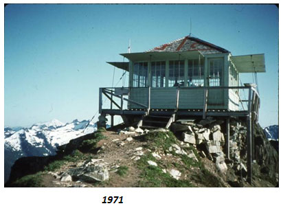 Green Mountain6,494 ft · Washington1 route18 mi awayPhoto: United States Department of Agriculture, Public domain (via Wikimedia Commons)
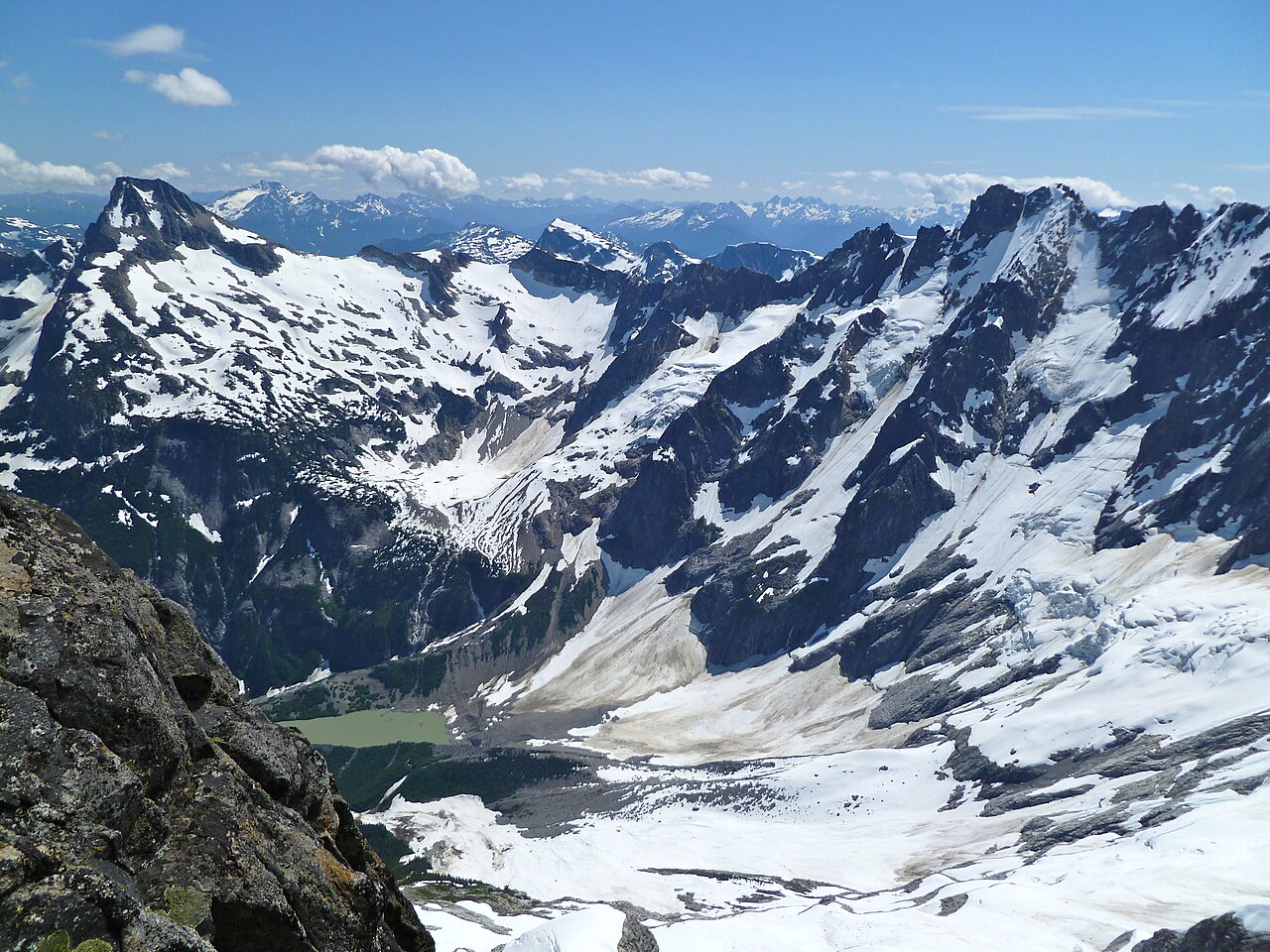 Luna Peak8,303 ft · Washington1 route19 mi awayPhoto: G310ScottS, CC BY-SA 3.0 (via Wikimedia Commons)
- Finney Peak5,091 ft · Washington2 routes22 mi away
- Crater Mountain8,138 ft · Washington1 route23 mi away
- Lookout Mountain TrailHiking0.9 mi
- Monogram Lake TrailHiking1.1 mi
- Alma CreekCanoeing2.4 mi
 Marble Creek CampgroundCampingPhoto: Recreation.gov (RIDB) / public domain2.9 mi
- Irene CreekCanoeing3.5 mi
- Eldorado PeakRock climbing8.7 mi
- Main PeakRock climbing9 mi
- Goodell Creek CampgroundCamping9.1 mi
Source: Roamze catalog (indexable pages within 10 miles, PostGIS distance)
