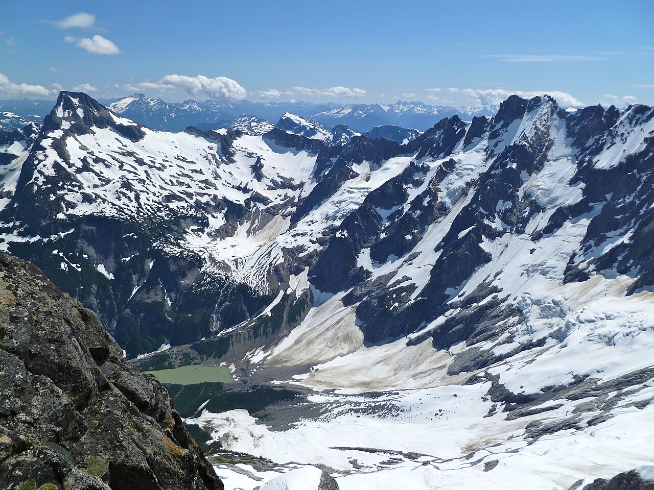
Austera Peak
 Photo: Ron Clausen, CC BY-SA 4.0 (via Wikimedia Commons)
- 8,332 ft
- summit
- National Park Service
- managed by
Is Austera Peak open right now?
Closure in the area
There's a closure order in North Cascades National Park. It doesn't name Austera Peak, so check the source for the area it covers (3 listed).
Cascade River Road Closed for the Winter Season
Park closure covering North Cascades National Park · NPS · North Cascades National Park
Fire Closures - Trail, Area, and Camp Closures
Park closure covering North Cascades National Park · NPS · North Cascades National Park
Hozomeen Gate Remains Closed
Park closure covering North Cascades National Park · NPS · North Cascades National Park
Be Aware of Break-ins along State Route 20
Park alert covering North Cascades National Park · NPS · North Cascades National Park
Diablo Lake Boat Launch Inaccessible to Powerboats
Park alert covering North Cascades National Park · NPS · North Cascades National Park
As of · Source: NPS · North Cascades National Park. Agencies don't list every closure — check before you go.
Austera Peak is a summit of about 8,332 feet in Skagit County, Washington, within North Cascades National Park and the Stephen Mather Wilderness. The National Park Service manages the land, and the nearest town is Marblemount, about 16 miles away. The peak lies inside designated wilderness in the park's interior. Close by are the Lucky ridge boot trail, about 2 miles off, and the climbing areas of Eldorado Peak and Main Peak, each under 3 miles away. Mineral Park Campground is about 8 miles away.
Conditions and forecast
Daily highs and lows, wind and the chance of precipitation at the summit for the next 7 days, from the Open-Meteo model.
- Summit elevation
- 8,332 ft
- Land manager
- National Park Service
Elevation from USGS 3D Elevation Program terrain data (about 10 m resolution).
We don't know of a mapped trail or route to the summit of Austera Peak. Plan the approach with local maps, a guidebook or a local guide, and check conditions before you go.
Questions about Austera Peak
How tall is Austera Peak?
8,332 ft (2,540 m).
Is there a trail to the top of Austera Peak?
We don't know of a mapped trail or route to the summit. Plan the approach with local maps, a guidebook or a local guide.
 Lookout Mountain5,703 ft · Washington1 route11 mi awayPhoto: Martin Bravenboer, CC BY 2.0 (via Wikimedia Commons)
 Black Peak8,979 ft · Washington1 route13 mi awayPhoto: Walter Siegmund (talk), CC BY 2.5 (via Wikimedia Commons)
- Crater Mountain8,138 ft · Washington1 route14 mi away
 Luna Peak8,303 ft · Washington1 route20 mi awayPhoto: G310ScottS, CC BY-SA 3.0 (via Wikimedia Commons)
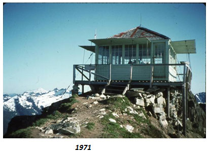 Green Mountain6,494 ft · Washington1 route20 mi awayPhoto: United States Department of Agriculture, Public domain (via Wikimedia Commons)
- Huckleberry Mountain5,860 ft · Washington1 route21 mi away
- Lucky ridge boot trailHiking2.2 mi
- Eldorado PeakRock climbing2.4 mi
- Main PeakRock climbing2.6 mi
- Thunder CreekCanoeing3.9 mi
- Eldorado Basin TrailHiking4.6 mi
- Marble CreekCanoeing6 mi
 Mineral Park CampgroundCampingPhoto: Recreation.gov (RIDB) / public domain7.9 mi
 Marble Creek CampgroundCampingPhoto: Recreation.gov (RIDB) / public domain8.2 mi
Source: Roamze catalog (indexable pages within 10 miles, PostGIS distance)
 Klawatti PeakSummit · ~2 min drivePhoto: Walter Siegmund, CC BY 2.5 (via Wikimedia Commons)
 Tricouni PeakSummit · ~2 min drivePhoto: Martin Bravenboer, CC BY 2.0 (via Wikimedia Commons)
 Eldorado PeakSummit · ~4 min drivePhoto: J Brew, CC BY-SA 2.0 (via Wikimedia Commons)
 The TriadSummit · ~8 min drivePhoto: Ron Clausen, CC BY-SA 4.0 (via Wikimedia Commons)
 Forbidden PeakSummit · ~8 min drivePhoto: J Brew, CC BY-SA 2.0 (via Wikimedia Commons)
 Snowfield PeakSummit · ~8 min drivePhoto: Walter Siegmund (talk), CC BY-SA 3.0 (via Wikimedia Commons)
 Boston PeakSummit · ~10 min drivePhoto: Walter Siegmund (talk), CC BY-SA 3.0 (via Wikimedia Commons)
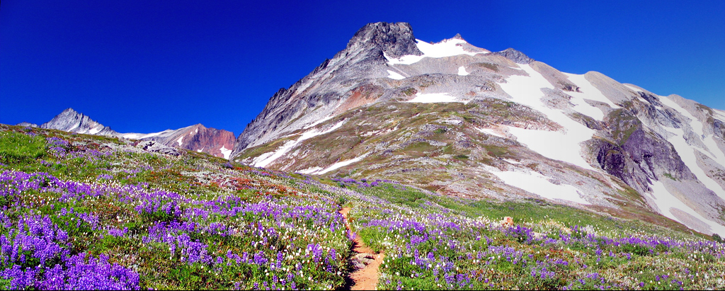 Sahale MountainSummit · ~10 min drivePhoto: Jeffrey Pang from Madison, NJ, USA, CC BY 2.0 (via Wikimedia Commons)
 Colonial PeakSummit · ~11 min drivePhoto: Original uploader was MattAshman at en.wikipedia, Public domain (via Wikimedia Commons)
 Buckner MountainSummit · ~12 min drivePhoto: M. F. Meier, Public domain (via Wikimedia Commons)

