Little Mountain
- 939 ft
- summit
- 1
- way up
- Apr–Oct
- best months
Little Mountain is a summit in Washington, set within Little Mountain Park about 1.4 miles from Mount Vernon. Its closeness to town makes it an easy objective to fit into a day in the Skagit Valley. Summer is the most comfortable time to go. Typical July highs reach about 73°F with lows near 54°F, based on averages from a nearby weather station in the valley close to sea level, so temperatures on the summit run cooler. Winter is much chillier, with typical December and January highs in the upper 40s and lows around 35°F. Ridge Trail and Taylor's Trail both start within half a mile, and Trumpeter Trail is about 1.7 miles away. For something different, the climbing area at Big Rock lies about 3 miles off.
Conditions and forecast
Daily highs and lows, wind and the chance of precipitation at the summit and route start for the next 7 days, from the Open-Meteo model.
- Summit elevation
- 939 ft
Elevation from USGS 3D Elevation Program terrain data (about 10 m resolution).
Map © Mapbox © OpenStreetMap contributors Questions about Little Mountain
How tall is Little Mountain?
939 ft (286 m).
How many routes go to the summit of Little Mountain?
One: Ridge Trail.
- Chuckanut Mountain2,309 ft · Washington1 route17 mi away
- Finney Peak5,091 ft · Washington2 routes26 mi away
 Round Mountain5,368 ft · Washington1 route26 mi awayPhoto: Ron Clausen, CC BY-SA 4.0 (via Wikimedia Commons)
- Park Butte5,453 ft · Washington1 route30 mi away
- Mount Finlayson296 ft · Washington1 route31 mi away
 Mount Pilchuck5,322 ft · Washington1 route33 mi awayPhoto: Josh Lewis, CC BY-SA 3.0 (via Wikimedia Commons)
 Ridge TrailHikingPhoto: Robert Ashworth from Bellingham, WA., USA, CC BY 2.0 (via Wikimedia Commons)0.3 mi
- Taylor's TrailHikingPhoto: Robert Ashworth from Bellingham, WA., USA, CC BY 2.0 (via Wikimedia Commons)0.4 mi
- Trumpeter TrailHiking1.7 mi
- Kulshan TrailHiking2.4 mi
- Skagit Valley Playfields TrailHiking3 mi
- Big RockRock climbing3 mi
- Ted Reep TrailHiking3.2 mi
- East Fork Nookachamps CreekCanoeing5.8 mi
Source: Roamze catalog (indexable pages within 10 miles, PostGIS distance)
 Mount HigginsSummit · ~44 min drivePhoto: Ron Clausen, CC BY-SA 4.0 (via Wikimedia Commons)
- Round MountainSummit · ~45 min drivePhoto: Ron Clausen, CC BY-SA 4.0 (via Wikimedia Commons)
 Mount BullenSummit · ~54 min drivePhoto: Eggbones, CC BY-SA 4.0 (via Wikimedia Commons)
 Whitehorse MountainSummit · ~55 min drivePhoto: Walter Siegmund (talk), CC BY-SA 3.0 (via Wikimedia Commons)
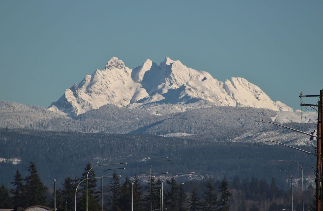 Three FingersSummit · ~56 min drivePhoto: SounderBruce from Seattle, United States, CC BY-SA 2.0 (via Wikimedia Commons)
 Lincoln PeakSummit · ~56 min drivePhoto: Walter Siegmund (talk), CC BY 2.5 (via Wikimedia Commons)
- Mount PilchuckSummit · ~57 min drivePhoto: Josh Lewis, CC BY-SA 3.0 (via Wikimedia Commons)
 Jumbo MountainSummit · ~1h 1m drivePhoto: Ron Clausen, CC BY-SA 4.0 (via Wikimedia Commons)
 Helen ButtesSummit · ~1h 7m drivePhoto: Ron Clausen, CC BY-SA 4.0 (via Wikimedia Commons)
 Prairie MountainSummit · ~1h 8m drivePhoto: Ron Clausen, CC BY-SA 4.0 (via Wikimedia Commons)
Best time to visit Little Mountain
Best months: April–October. Best months have typical highs of 55–85 °F, lows of 30 °F or warmer (32 °F where the station doesn't record snow), at most one snowy day and no more than 12 wet days.
Jan
47° / 35°
Feb
50° / 35°
Mar
54° / 38°
Apr
58° / 41°
May
65° / 47°
Jun
69° / 51°
Jul
73° / 54°
Aug
75° / 53°
Sep
69° / 49°
Oct
59° / 43°
Nov
51° / 39°
Dec
46° / 35°
Typical high / low (°F) and days with rain or snow, 1991–2020. Measured at Mt Vernon 3 Wnw, WA, 4.7 mi away at 14 ft. The station sits about 900 ft lower than this place, so expect it a little cooler here. This station doesn't record snowfall. Source: NOAA NCEI U.S. Climate Normals 1991–2020.
