Squire Creek Campground
Campground
Campground · 5.4 mi from the trail
 Photo: Eggbones, CC BY-SA 4.0 (via Wikimedia Commons)
Closure in the area
There's a closure order in Darrington Ranger District. It doesn't name Mount Bullen, so check the source for the area it covers (4 listed).
Miners Fire Closure
Agency closure covering Darrington Ranger District · Order 06-05-26-17 · USFS · Darrington Ranger District
Miner’s Fire Closure Order
Agency closure covering Darrington Ranger District · USFS · Darrington Ranger District
Grand Park 2 Fire Closure Update
Agency closure covering Mt. Baker-Snoqualmie National Forest · Order 06-05-26-16 · USFS · Mt. Baker-Snoqualmie National Forest
Bell Creek Bridge Damaged
Agency closure covering Mt. Baker-Snoqualmie National Forest · USFS · Mt. Baker-Snoqualmie National Forest
Rescission of Shooting Restrictions
Agency alert covering Mt. Baker-Snoqualmie National Forest · USFS · Mt. Baker-Snoqualmie National Forest
As of · Source: USFS · Darrington Ranger District. Agencies don't list every closure — check before you go.
Mount Bullen is a summit of about 5,992 feet in Snohomish County, Washington, inside the Boulder River Wilderness. The peak lies within the Darrington Ranger District of Mt. Baker-Snoqualmie National Forest, which the Forest Service manages. The nearest town is Swede Heaven, about 6 miles away. Several other destinations sit close by. Gerkman Creek, a canoeing spot, is about 1.3 miles away, and the Three Fingers summit trail is about 1.9 miles off. Climbers can head to Waterfall Basin, about 2 miles away, and Clear Creek Campground offers a place to stay about 6 miles from the summit.
Squire Creek Campground
Campground
Upper Olney Falls View
Viewpoint
Places © OpenStreetMap contributors, Places © Overture Maps Foundation
More in Gold BarDaily highs and lows, wind and the chance of precipitation at the summit for the next 7 days, from the Open-Meteo model.
Elevation from USGS 3D Elevation Program terrain data (about 10 m resolution).
We don't know of a mapped trail or route to the summit of Mount Bullen. Plan the approach with local maps, a guidebook or a local guide, and check conditions before you go.
5,992 ft (1,826 m).
We don't know of a mapped trail or route to the summit. Plan the approach with local maps, a guidebook or a local guide.


 Turlo CampgroundCampingPhoto: Recreation.gov (RIDB) / public domain8.1 mi
Source: Roamze catalog (indexable pages within 10 miles, PostGIS distance)
 Whitehorse MountainSummit · ~2 min drivePhoto: Walter Siegmund (talk), CC BY-SA 3.0 (via Wikimedia Commons)
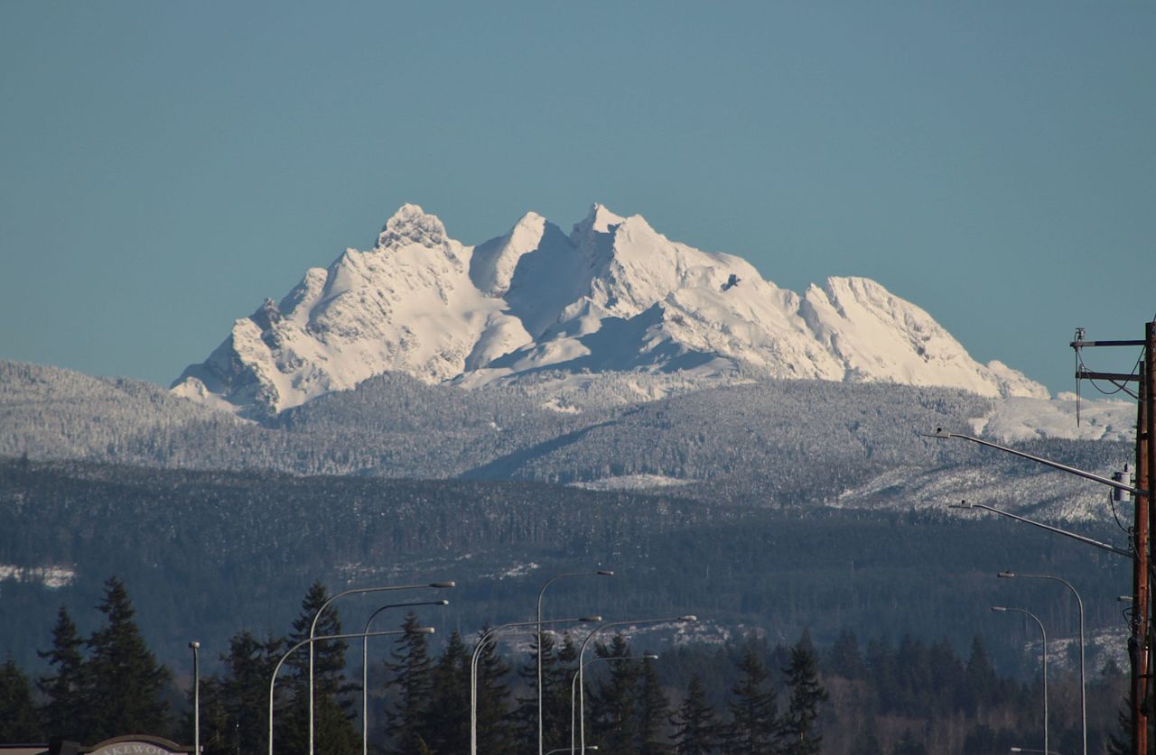 Three FingersSummit · ~3 min drivePhoto: SounderBruce from Seattle, United States, CC BY-SA 2.0 (via Wikimedia Commons)
 Big Bear MountainSummit · ~5 min drivePhoto: Ron Clausen, CC BY-SA 4.0 (via Wikimedia Commons)
 Liberty MountainSummit · ~8 min drivePhoto: Ron Clausen, CC BY-SA 4.0 (via Wikimedia Commons)
 Devils ThumbSummit · ~14 min drivePhoto: Ron Clausen, CC BY-SA 4.0 (via Wikimedia Commons)
 Mount HigginsSummit · ~15 min drivePhoto: Ron Clausen, CC BY-SA 4.0 (via Wikimedia Commons)Round MountainSummit · ~16 min drivePhoto: Ron Clausen, CC BY-SA 4.0 (via Wikimedia Commons)Mount PilchuckSummit · ~18 min drivePhoto: Josh Lewis, CC BY-SA 3.0 (via Wikimedia Commons)
 Stillaguamish PeakSummit · ~21 min drivePhoto: Walter Siegmund (talk), CC BY-SA 3.0 (via Wikimedia Commons)
 White Chuck MountainSummit · ~22 min drivePhoto: Ron Clausen, CC BY-SA 4.0 (via Wikimedia Commons)
Also worth it near here
 SQUIRE CREEKHiking · ~5 min drivePhoto: U.S. Forest Service- Pacific Northwest Region, Public domain (via Wikimedia Commons)
 Three O'clock RockRock climbing · ~8 min drivePhoto: Wilderness trespasser, CC BY-SA 4.0 (via Wikimedia Commons)
