Lake Susan Jane Camping Area
Campground
Campground · 4.7 mi from the trail
 Photo: Danust, CC BY-SA 4.0 (via Wikimedia Commons)
Closure in the area
There's a closure order in Okanogan-Wenatchee National Forest. It doesn't name Lichtenberg Mountain, so check the source for the area it covers (2 listed).
Little Giant Fire Closure Superseding
Agency closure covering Okanogan-Wenatchee National Forest · Order 06-17-07-2026-48 · USFS · Okanogan-Wenatchee National Forest
Railroad and Preston Creek Road Closure
Agency closure covering Okanogan-Wenatchee National Forest · Order 06-17-05-26-04 · USFS · Okanogan-Wenatchee National Forest
Little Giant Fire Closure Order Reduced on the Wenatchee River and Entiat Ranger District
Agency alert covering Wenatchee River Ranger District · Order 06-17-07-2026-46 · USFS · Wenatchee River Ranger District
Cle Elum River Restoration Area Closure on the Cle Elum Ranger District
Agency alert covering Okanogan-Wenatchee National Forest · USFS · Okanogan-Wenatchee National Forest
Gold Creek Restoration Project Area Closure on Cle Elum Ranger District
Agency alert covering Okanogan-Wenatchee National Forest · USFS · Okanogan-Wenatchee National Forest
As of · Source: USFS · Okanogan-Wenatchee National Forest. Agencies don't list every closure — check before you go.
Lichtenberg Mountain is a summit of about 5,855 feet in Chelan County, Washington, inside the Henry M. Jackson Wilderness. The peak lies within the Wenatchee River Ranger District of the Okanogan-Wenatchee National Forest, which the Forest Service manages. The nearest town is Skykomish, about 13.5 miles away. The Mount McCausland Trail starts just 0.4 miles away, and the Smithbrook Trail #1590 is about 1.2 miles off. Climbers can find There Will Be Blood roughly 1.3 miles away, and paddlers can reach the Tye River about 4.6 miles from the summit.
Lake Susan Jane Camping Area
Campground
Cascadian Kitchen
Restaurant
Herb Schraml Studio & Gallery
Gallery
Places © OpenStreetMap contributors
More in LeavenworthDaily highs and lows, wind and the chance of precipitation at the summit for the next 7 days, from the Open-Meteo model.
Elevation from USGS 3D Elevation Program terrain data (about 10 m resolution).
We don't know of a mapped trail or route to the summit of Lichtenberg Mountain. Plan the approach with local maps, a guidebook or a local guide, and check conditions before you go.
5,855 ft (1,785 m).
We don't know of a mapped trail or route to the summit. Plan the approach with local maps, a guidebook or a local guide.
 Mount McCausland TrailHikingPhoto: lamblukas from San Francisco, United States, CC BY 2.0 (via Wikimedia Commons)0.4 mi
Source: Roamze catalog (indexable pages within 10 miles, PostGIS distance)
 Jim Hill MountainSummit · ~9 min drivePhoto: Martin Bravenboer, CC BY 3.0 (via Wikimedia Commons)
 Thunder MountainSummit · ~16 min drivePhoto: Martin Bravenboer, CC BY 2.0 (via Wikimedia Commons)
 Beckler PeakSummit · ~17 min drivePhoto: Danust, CC BY-SA 4.0 (via Wikimedia Commons)
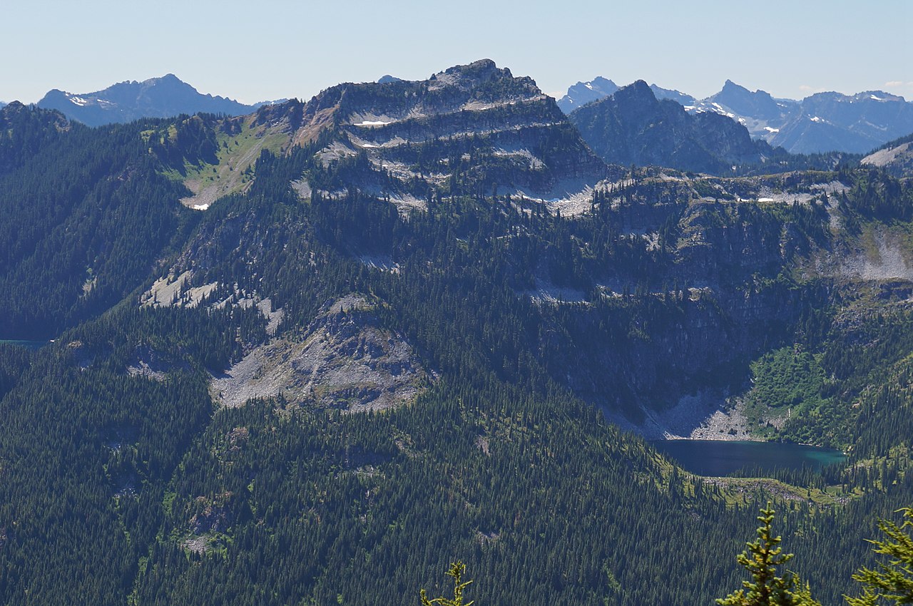 Terrace MountainSummit · ~21 min drivePhoto: Martin Bravenboer, CC BY 2.0 (via Wikimedia Commons)
 Johnson MountainSummit · ~25 min drivePhoto: Martin Bravenboer, CC BY 2.0 (via Wikimedia Commons)
 Indian Head PeakSummit · ~26 min drivePhoto: Martin Bravenboer, CC BY 2.0 (via Wikimedia Commons)
 Merchant PeakSummit · ~27 min drivePhoto: Peter Stevens, CC BY 2.0 (via Wikimedia Commons)
 Mount HinmanSummit · ~28 min drivePhoto: Ron Clausen, CC BY-SA 4.0 (via Wikimedia Commons)
 Cathedral RockSummit · ~28 min drivePhoto: Walter Siegmund, CC BY 2.5 (via Wikimedia Commons)
 Gunn PeakSummit · ~29 min drivePhoto: Ron Clausen, CC BY-SA 4.0 (via Wikimedia Commons)
