Yellowstone Cliffs Camp
Campground
Campground · 0.7 mi from the trail
 Photo: Leaf Petersen, CC BY 2.5 (via Wikimedia Commons)
Closure in the area
There's a closure order in Mount Rainier National Park. It doesn't name Crescent Mountain, so check the source for the area it covers.
Paradise Road Status: Open, traction tires advised, gate closing at 3 pm.
Park closure covering Mount Rainier National Park · NPS · Mount Rainier National Park
WILDFIRE CLOSURES: Sunrise & northern trails.
Park alert covering Mount Rainier National Park · NPS · Mount Rainier National Park
As of · Source: NPS · Mount Rainier National Park. Agencies don't list every closure — check before you go.
Crescent Mountain is a summit of 6,714 feet in Washington's Mount Rainier National Park, within the Mount Rainier Wilderness. The National Park Service manages the land, and the nearest town is Greenwater, about 15 miles away. Summer is the most comfortable time to visit. Typical averages from a nearby weather station at Paradise run to highs around 62°F in July and 64°F in August, with lows in the mid-40s. That station sits roughly 1,300 feet below the summit, so temperatures on top run cooler. Several trails start close by. Independence Ridge is less than a mile away, and the Northern Loop is about 2 miles off. The West Fork White River, a canoeing route, is about 2 miles away, and the Skyscraper Mountain Trail is about 3.5 miles away.
Yellowstone Cliffs Camp
Campground
 If it rainsSteven Pavlov, CC BY-SA 4.0 · Wikimedia Commons
Places © OpenStreetMap contributors · Photos: Steven Pavlov, CC BY-SA 4.0 (commons)
More in GreenwaterDaily highs and lows, wind and the chance of precipitation at the summit for the next 7 days, from the Open-Meteo model.
Elevation from USGS 3D Elevation Program terrain data (about 10 m resolution).
We don't know of a mapped trail or route to the summit of Crescent Mountain. Plan the approach with local maps, a guidebook or a local guide, and check conditions before you go.
6,714 ft (2,046 m).
We don't know of a mapped trail or route to the summit. Plan the approach with local maps, a guidebook or a local guide.

 Northern LoopHikingPhoto: brewbooks from near Seattle, USA, CC BY-SA 2.0 (via Wikimedia Commons)1.8 mi
 Carbon RiverCanoeingPhoto: Public domain (via Wikimedia Commons)5 mi
 Mount RainierRock climbingPhoto: shinsain, CC BY-SA 2.0 (via Flickr)6.6 mi
Source: Roamze catalog (indexable pages within 10 miles, PostGIS distance)
 Steamboat ProwSummit · ~9 min drivePhoto: Walter Siegmund (talk), CC BY 2.5 (via Wikimedia Commons)
 Tolmie PeakSummit · ~9 min drivePhoto: Ricardo Martins from Gent, Belgium, CC BY 2.0 (via Wikimedia Commons)Liberty CapSummit · ~10 min drivePhoto: Stan Shebs, CC BY-SA 3.0 (via Wikimedia Commons)
 Gibraltar RockSummit · ~12 min drivePhoto: Buidhe, CC BY-SA 4.0 (via Wikimedia Commons)
 Little Tahoma PeakSummit · ~12 min drivePhoto: Thomas Loarie II (talk · contribs), CC BY-SA 3.0 (via Wikimedia Commons)
 Marcus PeakSummit · ~12 min drivePhoto: Ron Clausen, CC BY-SA 4.0 (via Wikimedia Commons)
 Dege PeakSummit · ~13 min drivePhoto: Walter Siegmund (talk), CC BY-SA 3.0 (via Wikimedia Commons)
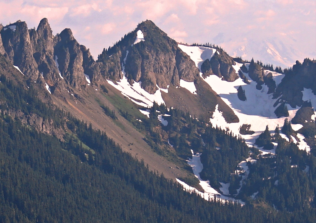 Barrier PeakSummit · ~18 min drivePhoto: Steve Redman (MORA), Public domain (via Wikimedia Commons)
 Yakima PeakSummit · ~21 min drivePhoto: Ron Clausen, CC BY-SA 4.0 (via Wikimedia Commons)
 Lane PeakSummit · ~23 min drivePhoto: Ron Clausen, CC BY-SA 4.0 (via Wikimedia Commons)
Best months: July–September. Best months have typical highs of 55–85 °F, lows of 30 °F or warmer (32 °F where the station doesn't record snow), at most one snowy day and no more than 12 wet days.
Jan
34° / 24°
Feb
34° / 23°
Mar
36° / 24°
Apr
40° / 26°
May
48° / 33°
Jun
54° / 37°
Jul
62° / 44°
Aug
64° / 45°
Sep
57° / 41°
Oct
46° / 33°
Nov
37° / 26°
Dec
33° / 22°
Typical high / low (°F) and days with rain or snow, 1991–2020. Measured at Rainier Paradise Rs, WA, 11.3 mi away at 5,427 ft. The station sits about 1,300 ft lower than this place, so expect it a little cooler here. This station doesn't record snowfall. Source: NOAA NCEI U.S. Climate Normals 1991–2020.

