Eagle's Roost Camp
Campground
Campground · 1.0 mi from the trail
Closure in the area
There's a closure order in Mount Rainier National Park. It doesn't name North Mowich River, so check the source for the area it covers.
Paradise Road Status: Open, traction tires advised, gate closing at 3 pm.
Park closure covering Mount Rainier National Park · NPS · Mount Rainier National Park
WILDFIRE CLOSURES: Sunrise & northern trails.
Park alert covering Mount Rainier National Park · NPS · Mount Rainier National Park
As of · Source: NPS · Mount Rainier National Park. Agencies don't list every closure — check before you go.
North Mowich River is a 3.2-mile paddling stretch near Carbonado, Washington, within Mount Rainier National Park and the Mount Rainier Wilderness. The National Park Service manages the land along the river, and the route flows year-round. The river carries an average flow of about 50 cubic feet per second and drops roughly 702 feet per mile, according to USGS models. Summer is the most comfortable time to paddle. Typical averages from a nearby weather station show July and August highs around 62 to 64°F with lows in the mid-40s, while winter highs sit in the low to mid 30s. A fee is charged for paddling here. The closest trails are the Spray-Seattle Park Trail, about 1.4 miles away, and Mowich Access, about 1.7 miles away. The Mowich River and North Puyallup River offer more paddling within about 4.5 miles.
Eagle's Roost Camp
Campground
 If it rainsSteven Pavlov, CC BY-SA 4.0 · Wikimedia Commons
Places © OpenStreetMap contributors · Photos: Steven Pavlov, CC BY-SA 4.0 (commons)
More in GreenwaterNot on Roamze yet. Their page has how to reach them.
 Mowich AccessHikingPhoto: Steven Pavlov, CC BY-SA 3.0 (via Wikimedia Commons)1.7 miGrindstoneHikingPhoto: Steven Pavlov, CC BY-SA 3.0 (via Wikimedia Commons)1.8 mi
 Carbon RiverCanoeingPhoto: Public domain (via Wikimedia Commons)4.6 mi
 Mount RainierRock climbingPhoto: shinsain, CC BY-SA 2.0 (via Flickr)6.5 mi
Source: Roamze catalog (indexable pages within 10 miles, PostGIS distance)
Carbon RiverCanoeing · ~8 min drivePhoto: Public domain (via Wikimedia Commons) Tahoma CreekCanoeing · ~16 min drivePhoto: Mount Rainier NPS, CC BY 2.0 (via Wikimedia Commons)
 Nisqually RiverCanoeing · ~19 min drivePhoto: Ian Poellet, CC BY-SA 3.0 (via Wikimedia Commons)
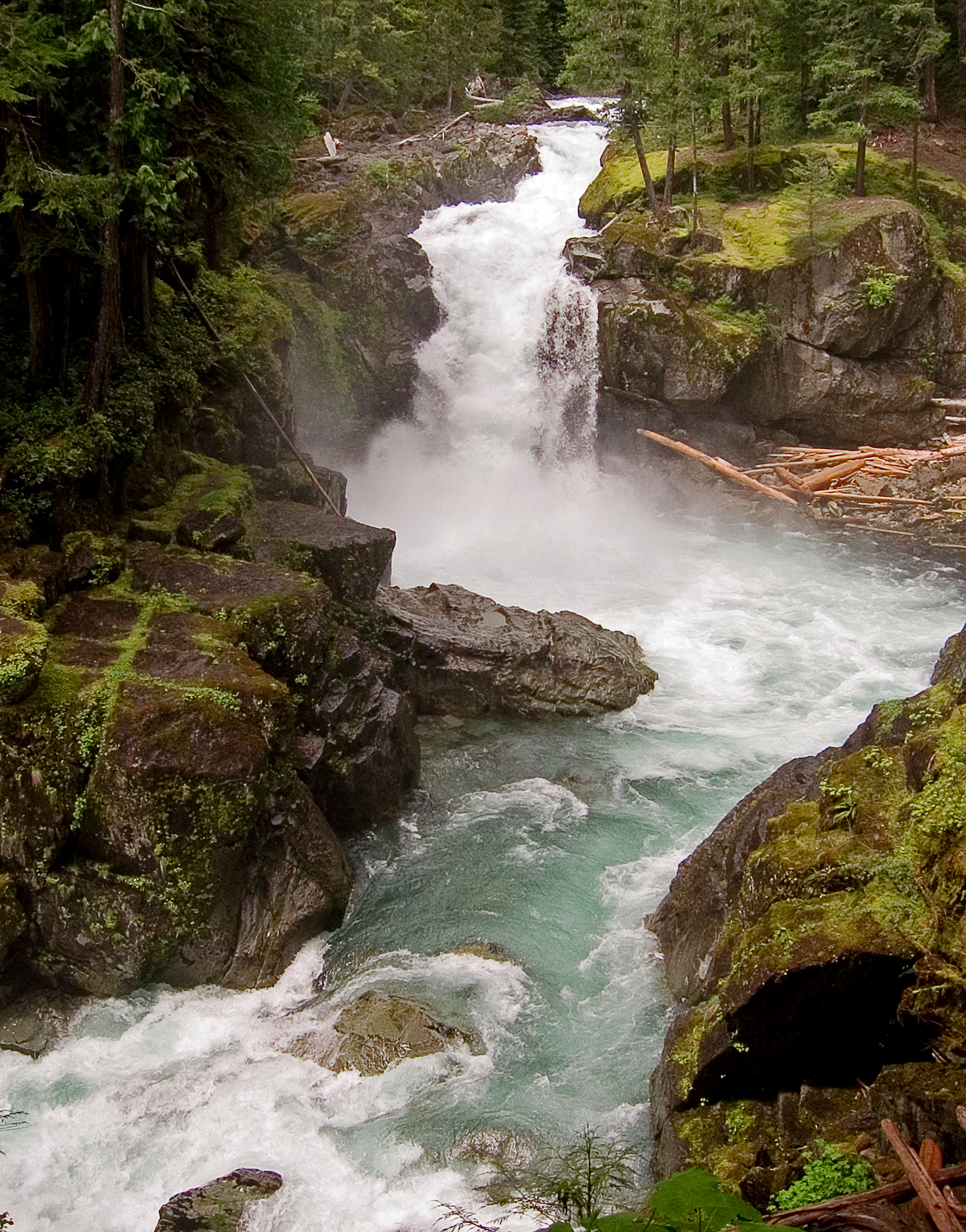 Ohanapecosh RiverCanoeing · ~28 min drivePhoto: Pfly, CC BY-SA 3.0 (via Wikimedia Commons)
 Mineral CreekCanoeing · ~34 min drivePhoto: Reedyfrog, CC BY-SA 3.0 (via Wikimedia Commons)
 Cowlitz RiverCanoeing · ~35 min drivePhoto: Lou's Canon, CC BY-SA 3.0 (via Wikimedia Commons)
Also worth it near here
 Spray FallsWaterfall · ~2 min drivePhoto: Joanna Poe from Munith, MI, USA, CC BY-SA 2.0 (via Wikimedia Commons)Mowich AccessHiking · ~3 min drivePhoto: Steven Pavlov, CC BY-SA 3.0 (via Wikimedia Commons)
 Tolmie PeakSummit · ~6 min drivePhoto: Ricardo Martins from Gent, Belgium, CC BY 2.0 (via Wikimedia Commons)
 Mystic CampCamping · ~10 min drivePhoto: brewbooks — CC BY-SA 2.0 (via Flickr)
Best months: July–September. Best months have typical highs of 55–85 °F, lows of 30 °F or warmer (32 °F where the station doesn't record snow), at most one snowy day and no more than 12 wet days.
Jan
34° / 24°
Feb
34° / 23°
Mar
36° / 24°
Apr
40° / 26°
May
48° / 33°
Jun
54° / 37°
Jul
62° / 44°
Aug
64° / 45°
Sep
57° / 41°
Oct
46° / 33°
Nov
37° / 26°
Dec
33° / 22°
Typical high / low (°F) and days with rain or snow, 1991–2020. Measured at Rainier Paradise Rs, WA, 10.5 mi away at 5,427 ft. The station sits about 600 ft higher than this place, so expect it a little warmer here. This station doesn't record snowfall. Source: NOAA NCEI U.S. Climate Normals 1991–2020.
