Higley Peak
- 3,024 ft
- summit
- 1
- way up
Is Higley Peak open right now?
Closure in the area
There's a closure order in Olympic National Park. It doesn't name Higley Peak, so check the source for the area it covers.
Hurricane Ridge Road Closed, Tuesday 11/17, 8:45am
Park closure covering Olympic National Park · NPS · Olympic National Park
Visitors to Rialto, Ruby Beach & Coastal Areas Cautioned Due to High Tides
Park alert covering Olympic National Park · NPS · Olympic National Park
Bat Tests Positive for Rabies, Visitors Urged to Report Potential Contact
Park alert covering Olympic National Park · NPS · Olympic National Park
Roads to be Closed for Wildlife on October 1, 2026
Agency alert covering Olympic National Forest · USFS · Olympic National Forest
Full Burn Ban Begins August 7
Park alert covering Olympic National Park · NPS · Olympic National Park
As of · Source: NPS · Olympic National Park. Agencies don't list every closure — check before you go.
Higley Peak is a summit in Washington's Olympic country, sitting within the Pacific Ranger District/Quinault of Olympic National Forest and alongside Olympic National Park. The nearest town is Amanda Park, about 4.4 miles away. The Higley Peak Trail #856 starts just 0.2 miles from the summit, making it the natural route for anyone heading up. One warns that a bat tested positive for rabies and asks visitors to report any potential contact. Another notes that South Shore Quinault Road is washed out beyond the park boundary. Close by, Canoe Creek and Prairie Creek offer canoeing. The Kestner Homestead Trail lies about 3.2 miles off, and Falls Creek Campground is about 3.4 miles away.
Conditions and forecast
Daily highs and lows, wind and the chance of precipitation at the summit and route start for the next 7 days, from the Open-Meteo model.
- Summit elevation
- 3,024 ft
Elevation from USGS 3D Elevation Program terrain data (about 10 m resolution).
Map © Mapbox © OpenStreetMap contributors Questions about Higley Peak
How tall is Higley Peak?
3,024 ft (922 m).
How many routes go to the summit of Higley Peak?
One: Higley Peak Trail #856.
- Colonel Bob4,491 ft · Washington1 route6.8 mi away
 Bogachiel Peak5,468 ft · Washington2 routes28 mi awayPhoto: Eggbones, CC BY-SA 4.0 (via Wikimedia Commons)
- Mount Rose4,290 ft · Washington1 route28 mi away
 Mount Ellinor5,939 ft · Washington1 route29 mi awayPhoto: Gregg M. Erickson (talk · contribs), CC BY 3.0 (via Wikimedia Commons)
- Slide Peak4,338 ft · Washington1 route30 mi away
- Mount Washington6,240 ft · Washington1 route30 mi awayPhoto: Gregg M. Erickson (talk · contribs), CC BY 3.0 (via Wikimedia Commons)
- Higley Peak Trail #856Hiking0.2 mi
- Canoe CreekCanoeing1.9 mi
- Kestner HomesteadHiking3.2 mi
- Kestner Homestead TrailHiking3.2 mi
- Prairie CreekCanoeing3.3 mi
 Falls Creek CampgroundCampingPhoto: Recreation.gov (RIDB) / public domain3.4 mi
- Gatton Creek Campground/Day Use AreaCamping3.5 mi
- Gatton Creek CampgroundCamping3.5 mi
Source: Roamze catalog (indexable pages within 10 miles, PostGIS distance)
 Mount TomSummit · ~35 min drivePhoto: rnjacobs, CC BY 2.0 (via Wikimedia Commons)
 Mount ChristieSummit · ~35 min drivePhoto: Ron Clausen, CC BY-SA 4.0 (via Wikimedia Commons)
 Mount MeanySummit · ~37 min drivePhoto: Parratt, Smitty National Park Service, Public domain (via Wikimedia Commons)
 Mount OlympusSummit · ~37 min drivePhoto: R6, State & Private Forestry, Forest Health Protection, Public domain (via Wikimedia Commons)
 Mount QueetsSummit · ~38 min drivePhoto: National Park Service, Public domain (via Wikimedia Commons)
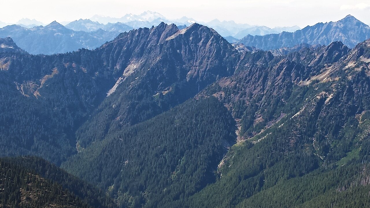 Mount DuckabushSummit · ~45 min drivePhoto: Maurice King, CC BY 2.0 (via Wikimedia Commons)
 Mount DanaSummit · ~46 min drivePhoto: Ron Clausen, CC BY-SA 4.0 (via Wikimedia Commons)
- Bogachiel PeakSummit · ~48 min drivePhoto: Eggbones, CC BY-SA 4.0 (via Wikimedia Commons)
 Mount NortonSummit · ~48 min drivePhoto: Terri Stewart, CC BY-SA 2.0 (via Wikimedia Commons)
 Mount SkokomishSummit · ~49 min drivePhoto: Ron Clausen, CC BY-SA 4.0 (via Wikimedia Commons)

