Colonel Bob
- 4,491 ft
- summit
- 1
- way up
Is Colonel Bob open right now?
Alert in the area
The Forest Service lists 5 alerts for Olympic National Forest.
Roads to be Closed for Wildlife on October 1, 2026
Agency alert covering Olympic National Forest · USFS · Olympic National Forest
FS-2451 and Copper Creek Trail Closure
Agency alert covering Olympic National Forest · Order 06-09-26-10 · USFS · Olympic National Forest
FS-2160 Road Closure for Bridge Inspection
Agency alert covering Olympic National Forest · Order 06-09-26-07 · USFS · Olympic National Forest
High Steel Bridge and surrounding area closed to pedestrians/off trail hiking
Agency alert covering Olympic National Forest · Order 06-09-24-08 · USFS · Olympic National Forest
Alcohol ban in effect along Lake Cushman corridor
Agency alert covering Olympic National Forest · USFS · Olympic National Forest
As of · Source: USFS · Olympic National Forest. Agencies don't list every closure — check before you go.
Colonel Bob is a summit in the Colonel Bob Wilderness, part of the Pacific Ranger District/Quinault of Olympic National Forest in Washington. The nearest town is Neilton, about 8.5 miles away. Another covers camping stay limitations throughout the forest. The closest route is the Colonel Bob Summit hike, about 0.8 mile away. Lower Pete's Creek is about 2.3 miles off, and Campbell Tree Grove campground is about 2.9 miles away. For paddling, the West Fork Humptulips River is about 3.2 miles away.
Conditions and forecast
Daily highs and lows, wind and the chance of precipitation at the summit and route start for the next 7 days, from the Open-Meteo model.
- Summit elevation
- 4,491 ft
Elevation from USGS 3D Elevation Program terrain data (about 10 m resolution).
Map © Mapbox © OpenStreetMap contributors Questions about Colonel Bob
How tall is Colonel Bob?
4,491 ft (1,369 m).
How many routes go to the summit of Colonel Bob?
One: Colonel Bob Summit.
- Higley Peak3,024 ft · Washington1 route6.8 mi away
- Mount Rose4,290 ft · Washington1 route21 mi away
 Mount Ellinor5,939 ft · Washington1 route23 mi awayPhoto: Gregg M. Erickson (talk · contribs), CC BY 3.0 (via Wikimedia Commons)
- Mount Washington6,240 ft · Washington1 route24 mi awayPhoto: Gregg M. Erickson (talk · contribs), CC BY 3.0 (via Wikimedia Commons)
- Dodger Point5,732 ft · Washington1 route29 mi away
 Bogachiel Peak5,468 ft · Washington2 routes29 mi awayPhoto: Eggbones, CC BY-SA 4.0 (via Wikimedia Commons)
- Colonel Bob SummitHiking0.8 mi
- Lower Pete's CreekHiking2.3 mi
- Pete's CreekHiking2.3 mi
- Ziegler CreekCanoeing2.4 mi
- Campbell Tree GroveCamping2.9 mi
- West Fork Humptulips RiverCanoeing3.2 mi
- Gatton Creek CampgroundCamping4.4 mi
- Gatton Creek Campground/Day Use AreaCamping4.4 mi
Source: Roamze catalog (indexable pages within 10 miles, PostGIS distance)
 Mount ChristieSummit · ~30 min drivePhoto: Ron Clausen, CC BY-SA 4.0 (via Wikimedia Commons)
 Mount MeanySummit · ~33 min drivePhoto: Parratt, Smitty National Park Service, Public domain (via Wikimedia Commons)
 Mount QueetsSummit · ~35 min drivePhoto: National Park Service, Public domain (via Wikimedia Commons)
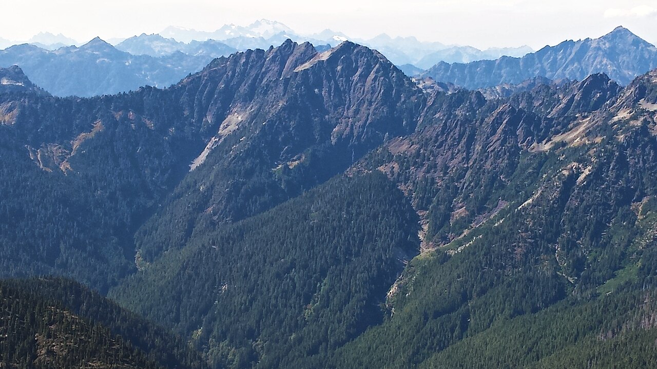 Mount DuckabushSummit · ~36 min drivePhoto: Maurice King, CC BY 2.0 (via Wikimedia Commons)
 Mount TomSummit · ~36 min drivePhoto: rnjacobs, CC BY 2.0 (via Wikimedia Commons)
 Mount OlympusSummit · ~37 min drivePhoto: R6, State & Private Forestry, Forest Health Protection, Public domain (via Wikimedia Commons)
 Mount SkokomishSummit · ~38 min drivePhoto: Ron Clausen, CC BY-SA 4.0 (via Wikimedia Commons)
- Mount EllinorSummit · ~39 min drivePhoto: Gregg M. Erickson (talk · contribs), CC BY 3.0 (via Wikimedia Commons)
 Mount StoneSummit · ~41 min drivePhoto: CC BY-SA 4.0 (via Wikimedia Commons)
 Mount DanaSummit · ~42 min drivePhoto: Ron Clausen, CC BY-SA 4.0 (via Wikimedia Commons)

