Bears Breast Mountain
 Photo: Allison Wildman, CC BY 2.0 (via Wikimedia Commons)
- 7,193 ft
- summit
- Forest Service
- managed by
Is Bears Breast Mountain open right now?
Closure in the area
There's a closure order in Okanogan-Wenatchee National Forest. It doesn't name Bears Breast Mountain, so check the source for the area it covers (2 listed).
Little Giant Fire Closure Superseding
Agency closure covering Okanogan-Wenatchee National Forest · Order 06-17-07-2026-48 · USFS · Okanogan-Wenatchee National Forest
Railroad and Preston Creek Road Closure
Agency closure covering Okanogan-Wenatchee National Forest · Order 06-17-05-26-04 · USFS · Okanogan-Wenatchee National Forest
Three Queens Fire Area Closure Reduced on the Cle Elum Ranger District Nov 1
Agency alert covering Cle Elum Ranger District · Order 06-17-03-2026-47 · USFS · Cle Elum Ranger District
Three Queens Fire Area Closure and Pacific Crest Trail closure/re-route
Agency alert covering Cle Elum Ranger District · Order 06-17-03-2026-32 · USFS · Cle Elum Ranger District
Cle Elum River Restoration Area Closure on the Cle Elum Ranger District
Agency alert covering Okanogan-Wenatchee National Forest · USFS · Okanogan-Wenatchee National Forest
As of · Source: USFS · Okanogan-Wenatchee National Forest. Agencies don't list every closure — check before you go.
Bears Breast Mountain is a summit of about 7,193 feet in Kittitas County, Washington, inside the Alpine Lakes Wilderness. It lies within the Cle Elum Ranger District of the Okanogan-Wenatchee National Forest, which the Forest Service manages. The nearest town is Snoqualmie Pass, about 13 miles away. Lake Ivanhoe Trail and Williams Lake Trail both start within about a mile and a half of the summit. Fish Lake campground is about 7 miles away, and the Western Alpine Lakes climbing area is about 7 miles off.
Conditions and forecast
Daily highs and lows, wind and the chance of precipitation at the summit for the next 7 days, from the Open-Meteo model.
- Summit elevation
- 7,193 ft
- Land manager
- Forest Service
Elevation from USGS 3D Elevation Program terrain data (about 10 m resolution).
We don't know of a mapped trail or route to the summit of Bears Breast Mountain. Plan the approach with local maps, a guidebook or a local guide, and check conditions before you go.
Questions about Bears Breast Mountain
How tall is Bears Breast Mountain?
7,193 ft (2,192 m).
Is there a trail to the top of Bears Breast Mountain?
We don't know of a mapped trail or route to the summit. Plan the approach with local maps, a guidebook or a local guide.
 Mount Hinman7,500 ft · Washington1 route2.1 mi awayPhoto: Ron Clausen, CC BY-SA 4.0 (via Wikimedia Commons)
 Mount Daniel7,896 ft · Washington1 route2.9 mi awayPhoto: Walter Siegmund, CC BY 2.5 (via Wikimedia Commons)
- Trico Mountain6,657 ft · Washington1 route6.5 mi away
- Surprise Mountain6,314 ft · Washington1 route8.3 mi away
 Hibox Mountain6,556 ft · Washington1 route8.3 mi awayPhoto: Michael Cline, CC BY-SA 2.0 (via Wikimedia Commons)
 Alta Mountain6,250 ft · Washington1 route8.5 mi awayPhoto: Ron Clausen, CC BY-SA 4.0 (via Wikimedia Commons)
- Lake Ivanhoe TrailHiking0.8 mi
- Williams Lake TrailHiking1.3 mi
- Middle Fork Snoqualmie RiverCanoeing4.9 mi
- East Fork Foss RiverCanoeing5.4 mi
- Western Alpine LakesRock climbing6.8 mi
- Fish LakeCamping7.3 mi
- OwhiCamping8.4 mi
- Ministry of Magic BoulderRock climbing9.8 mi
Source: Roamze catalog (indexable pages within 10 miles, PostGIS distance)
- Mount HinmanSummit · ~4 min drivePhoto: Ron Clausen, CC BY-SA 4.0 (via Wikimedia Commons)
 Summit Chief MountainSummit · ~4 min drivePhoto: U.S. Forest Service- Pacific Northwest Region, Public domain (via Wikimedia Commons)
 Chimney RockSummit · ~6 min drivePhoto: U.S. Forest Service- Pacific Northwest Region, Public domain (via Wikimedia Commons)
- Overcoat PeakSummit · ~6 min drivePhoto: U.S. Forest Service- Pacific Northwest Region, Public domain (via Wikimedia Commons)
 Cathedral RockSummit · ~7 min drivePhoto: Walter Siegmund, CC BY 2.5 (via Wikimedia Commons)
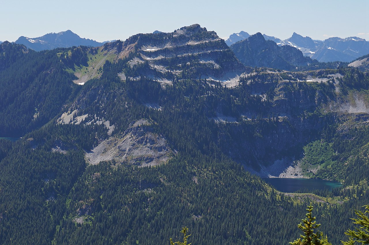 Terrace MountainSummit · ~10 min drivePhoto: Martin Bravenboer, CC BY 2.0 (via Wikimedia Commons)
 Chikamin PeakSummit · ~10 min drivePhoto: Ron Clausen, CC BY-SA 4.0 (via Wikimedia Commons)
 Huckleberry MountainSummit · ~12 min drivePhoto: Walter Siegmund, CC BY 2.5 (via Wikimedia Commons)
- Hibox MountainSummit · ~14 min drivePhoto: Michael Cline, CC BY-SA 2.0 (via Wikimedia Commons)
- Alta MountainSummit · ~15 min drivePhoto: Ron Clausen, CC BY-SA 4.0 (via Wikimedia Commons)

