Goldmyer Hot Springs Campsites
Campground
Campground · 2.1 mi from the trail
Closure in the area
There's a closure order in Snoqualmie Ranger District. It doesn't name Red Mountain Scramble, so check the source for the area it covers (4 listed).
Gold Creek Area Closure
Agency closure covering Snoqualmie Ranger District · Order 06-17-03-26-07 · USFS · Snoqualmie Ranger District
Grand Park 2 Fire Closure Update
Agency closure covering Mt. Baker-Snoqualmie National Forest · Order 06-05-26-16 · USFS · Mt. Baker-Snoqualmie National Forest
Grand Park 2 Fire Closure
Agency closure covering Snoqualmie Ranger District · Order 06-05-26-13 · USFS · Snoqualmie Ranger District
Bell Creek Bridge Damaged
Agency closure covering Mt. Baker-Snoqualmie National Forest · USFS · Mt. Baker-Snoqualmie National Forest
Rescission of Shooting Restrictions
Agency alert covering Mt. Baker-Snoqualmie National Forest · USFS · Mt. Baker-Snoqualmie National Forest
As of · Source: USFS · Snoqualmie Ranger District. Agencies don't list every closure — check before you go.
Red Mountain Scramble is a short, steep out-and-back hike in Washington's Alpine Lakes Wilderness, within the Snoqualmie Ranger District of Mt. Baker-Snoqualmie National Forest. The route starts at about 4,845 feet and climbs to a high point of 5,756 feet, with a total gain of 1,376 feet over a round trip of about 0.7 miles. The climb is front-loaded, so the steepest part comes early. The trail lies entirely within designated wilderness, and the Forest Service manages the surrounding land. The Commonwealth Basin Trail begins just 0.1 mile away, and the Pacific Crest National Scenic Trail passes within about 0.8 mile. The trip takes roughly an hour, and the route is short enough to fit into a day spent exploring the surrounding area. Denny Creek Campground sits about 3.7 miles away for an overnight stay, and the Summer-Fall climbing area is about 2.9 miles off.
Goldmyer Hot Springs Campsites
Campground
Webb's Restaurant
Pizza restaurant
 If it rainsShakespeare at English Wikipedia, CC BY-SA 3.0 · Wikimedia Commons
Railway station in Snoqualmie, the United States of America
Places © OpenStreetMap contributors, Places © Overture Maps Foundation · Photos: Shakespeare at English Wikipedia, CC BY-SA 3.0 (commons)
More in GreenwaterNot on Roamze yet. Their page has how to reach them.
Daily highs and lows, wind and the chance of precipitation at the summit and route start for the next 7 days, from the Open-Meteo model.
 The ToothRock climbingPhoto: Wilderness trespasser, CC BY-SA 4.0 (via Wikimedia Commons)2.9 mi
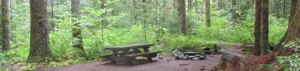
 Denny Creek CampgroundCampingPhoto: Recreation.gov (RIDB) / public domain3.7 mi
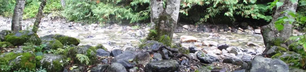
 Tinkham CampgroundCampingPhoto: Recreation.gov (RIDB) / public domain8.9 mi
Source: Roamze catalog (indexable pages within 10 miles, PostGIS distance)
 Franklin Falls TrailHiking · ~5 min drivePhoto: Jozie, CC BY-SA 4.0 (via Wikimedia Commons)
 Pineapple Pass BootpathHiking · ~5 min drivePhoto: brewbooks from near Seattle, USA, CC BY-SA 2.0 (via Wikimedia Commons)
 Gold CreekHiking · ~6 min drivePhoto: Leslie Seaton from Seattle, WA, USA, CC BY 2.0 (via Wikimedia Commons)
 Rampart Lakes Backdoor TrailHiking · ~7 min drivePhoto: Michael Cline, CC BY-SA 2.0 (via Wikimedia Commons)Gold Creek Pond TrailHiking · ~6 min drivePhoto: Leslie Seaton from Seattle, WA, USA, CC BY 2.0 (via Wikimedia Commons)
About 0.4 mi round trip.
About 1,376 ft of climbing round trip.
It is rated hard.
About 0.5 hours round trip.
Map and trail data © OpenStreetMap contributors


