Goldmyer Hot Springs Campsites
Campground
Campground · 2.2 mi from the trail
Closure in the area
There's a closure order in Okanogan-Wenatchee National Forest. It doesn't name Pacific Crest National Scenic Trail, so check the source for the area it covers (2 listed).
Little Giant Fire Closure Superseding
Agency closure covering Okanogan-Wenatchee National Forest · Order 06-17-07-2026-48 · USFS · Okanogan-Wenatchee National Forest
Railroad and Preston Creek Road Closure
Agency closure covering Okanogan-Wenatchee National Forest · Order 06-17-05-26-04 · USFS · Okanogan-Wenatchee National Forest
Three Queens Fire Area Closure Reduced on the Cle Elum Ranger District Nov 1
Agency alert covering Cle Elum Ranger District · Order 06-17-03-2026-47 · USFS · Cle Elum Ranger District
Three Queens Fire Area Closure and Pacific Crest Trail closure/re-route
Agency alert covering Cle Elum Ranger District · Order 06-17-03-2026-32 · USFS · Cle Elum Ranger District
Cle Elum River Restoration Area Closure on the Cle Elum Ranger District
Agency alert covering Okanogan-Wenatchee National Forest · USFS · Okanogan-Wenatchee National Forest
As of · Source: USFS · Okanogan-Wenatchee National Forest. Agencies don't list every closure — check before you go.
The Pacific Crest National Scenic Trail in Washington is a long, steep out-and-back route in the Alpine Lakes Wilderness, part of the Cle Elum Ranger District of the Okanogan-Wenatchee National Forest. The Forest Service manages the land, and the trail crosses wilderness boundaries, so plan for a full day or more on foot. The route starts and ends at about 3,000 feet, with a high point of 6,085 feet. The total climb is about 7,700 feet, and the steepest stretch comes at roughly 9.7 miles in, where the grade reaches 32%. That makes this a route for experienced hikers rather than a casual outing. The trip is estimated to take about 14 hours. Two other routes sit just 0.8 miles away: the Commonwealth Basin Trail and the Red Mountain Scramble. Gold Creek, a canoeing spot, is about 2 miles off, and Denny Creek Campground is about 4 miles away.
Goldmyer Hot Springs Campsites
Campground
Summit Pancake House
Restaurant
 If it rainsShakespeare at English Wikipedia, CC BY-SA 3.0 · Wikimedia Commons
Railway station in Snoqualmie, the United States of America
Places © OpenStreetMap contributors · Photos: Shakespeare at English Wikipedia, CC BY-SA 3.0 (commons)
More in GreenwaterNot on Roamze yet. Their page has how to reach them.
 Snoqualmie Pass AreaRock climbingPhoto: Steven Pavlov, CC BY-SA 4.0 (via Wikimedia Commons)3.5 mi
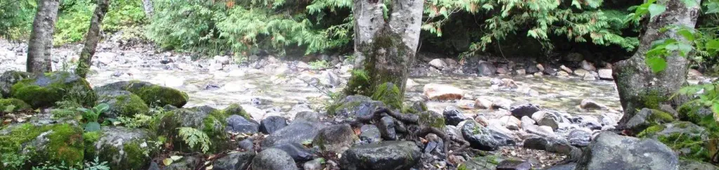 Denny Creek CampgroundCampingPhoto: Recreation.gov (RIDB) / public domain4.2 mi
 KachessCampingPhoto: Recreation.gov (RIDB) / public domain9.3 mi
Source: Roamze catalog (indexable pages within 10 miles, PostGIS distance)
 Gold CreekHiking · ~5 min drivePhoto: Leslie Seaton from Seattle, WA, USA, CC BY 2.0 (via Wikimedia Commons)
 Franklin Falls TrailHiking · ~6 min drivePhoto: Jozie, CC BY-SA 4.0 (via Wikimedia Commons)
 Pineapple Pass BootpathHiking · ~6 min drivePhoto: brewbooks from near Seattle, USA, CC BY-SA 2.0 (via Wikimedia Commons)
 Rampart Lakes Backdoor TrailHiking · ~7 min drivePhoto: Michael Cline, CC BY-SA 2.0 (via Wikimedia Commons)
 Hibox Mountain climber's trailHiking · ~7 min drivePhoto: Walter Siegmund, CC BY 2.5 (via Wikimedia Commons)Gold Creek Pond TrailHiking · ~6 min drivePhoto: Leslie Seaton from Seattle, WA, USA, CC BY 2.0 (via Wikimedia Commons)
Map and trail data © OpenStreetMap contributors

