Snow Lake Backcountry Camping
Campground
Campground · 1.4 mi from the trail
Closure in the area
There's a closure order in Snoqualmie Ranger District. It doesn't name Snoqualmie Mountain Trail, so check the source for the area it covers (4 listed).
Gold Creek Area Closure
Agency closure covering Snoqualmie Ranger District · Order 06-17-03-26-07 · USFS · Snoqualmie Ranger District
Grand Park 2 Fire Closure Update
Agency closure covering Mt. Baker-Snoqualmie National Forest · Order 06-05-26-16 · USFS · Mt. Baker-Snoqualmie National Forest
Grand Park 2 Fire Closure
Agency closure covering Snoqualmie Ranger District · Order 06-05-26-13 · USFS · Snoqualmie Ranger District
Bell Creek Bridge Damaged
Agency closure covering Mt. Baker-Snoqualmie National Forest · USFS · Mt. Baker-Snoqualmie National Forest
Rescission of Shooting Restrictions
Agency alert covering Mt. Baker-Snoqualmie National Forest · USFS · Mt. Baker-Snoqualmie National Forest
As of · Source: USFS · Snoqualmie Ranger District. Agencies don't list every closure — check before you go.
Snoqualmie Mountain Trail is a 3-mile out-and-back hike in the Alpine Lakes Wilderness, part of the Snoqualmie Ranger District of Mt. Baker-Snoqualmie National Forest in Washington. The Forest Service manages the land, and the trail starts at about 6,149 feet, rising to a high point of 6,200 feet. The climb is back-loaded, with the steepest stretch at about 0.97 miles, where the grade reaches 59%. The total gain is 3,127 feet, and the trail drops back to the starting elevation. The route is rated hard. Cave Ridge Trail and Snow Lake both lie about 0.9 miles away. Denny Creek Campground is about 3.4 miles off, and the South Fork Snoqualmie River offers canoeing about 3.6 miles away.
Snow Lake Backcountry Camping
Campground
Timberwolf Lodge
Pub
 If it rainsShakespeare at English Wikipedia, CC BY-SA 3.0 · Wikimedia Commons
Railway station in Snoqualmie, the United States of America
Places © OpenStreetMap contributors, Places © Overture Maps Foundation · Photos: Shakespeare at English Wikipedia, CC BY-SA 3.0 (commons)
More in GreenwaterNot on Roamze yet. Their page has how to reach them.
Daily highs and lows, wind and the chance of precipitation at the summit and route start for the next 7 days, from the Open-Meteo model.
 The ToothRock climbingPhoto: Wilderness trespasser, CC BY-SA 4.0 (via Wikimedia Commons)2 mi
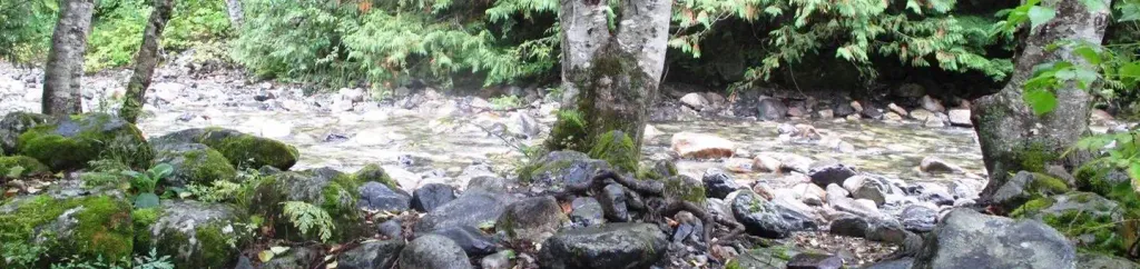 Denny Creek CampgroundCampingPhoto: Recreation.gov (RIDB) / public domain3.4 mi
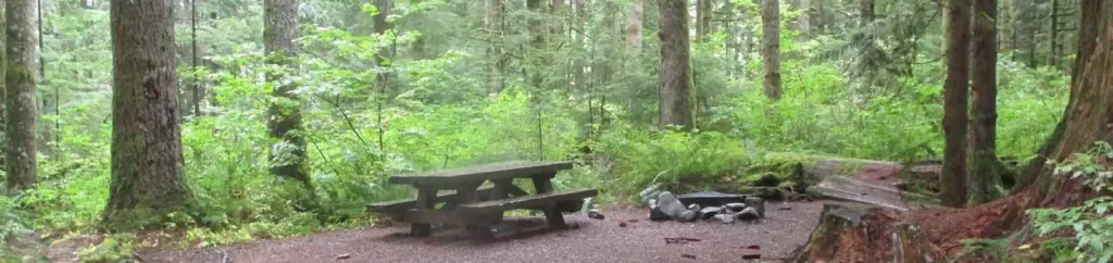 Tinkham CampgroundCampingPhoto: Recreation.gov (RIDB) / public domain8.1 mi
Source: Roamze catalog (indexable pages within 10 miles, PostGIS distance)
 Pineapple Pass BootpathHiking · ~3 min drivePhoto: brewbooks from near Seattle, USA, CC BY-SA 2.0 (via Wikimedia Commons)
 Franklin Falls TrailHiking · ~4 min drivePhoto: Jozie, CC BY-SA 4.0 (via Wikimedia Commons)
 Kaleetan Lake TrailHiking · ~7 min drivePhoto: Martin Bravenboer, CC BY 4.0 (via Wikimedia Commons)
 Gold CreekHiking · ~7 min drivePhoto: Leslie Seaton from Seattle, WA, USA, CC BY 2.0 (via Wikimedia Commons)Gold Creek Pond TrailHiking · ~8 min drivePhoto: Leslie Seaton from Seattle, WA, USA, CC BY 2.0 (via Wikimedia Commons)
 KALEETAN LAKEHiking · ~7 min drivePhoto: brewbooks from near Seattle, USA, CC BY-SA 2.0 (via Wikimedia Commons)
About 1.5 mi round trip.
About 3,127 ft of climbing round trip.
It is rated hard.
About 0.5 hours round trip.
Map and trail data © OpenStreetMap contributors


