Denny Creek Campground
Campground
Campground · 1.0 mi from the trail
 Photo: Jozie, CC BY-SA 4.0 (via Wikimedia Commons)
Franklin Falls Trail is a short, easy hike in the Snoqualmie Ranger District of Mt. Baker-Snoqualmie National Forest in Washington, managed by the Forest Service. The trail is about a mile long, with a total climb of 470 feet and a steepest grade of about 12% near the halfway point. It is an out-and-back route that starts and ends at roughly 2,640 feet, with the high point at about 2,645 feet. Summer is the most comfortable time to go. Typical averages from a nearby weather station in Easton show July and August highs around 75 to 76°F with lows near 50°F, while winter highs stay in the mid-30s. The Snoqualmie Pass Area climbing area is about 0.3 miles away, and Denny Creek Trail and Denny Creek Campground are within a mile. Paddlers can reach the South Fork Snoqualmie River about 2 miles off.
Denny Creek Campground
Campground
Timberwolf Lodge
Pub
 If it rainsShakespeare at English Wikipedia, CC BY-SA 3.0 · Wikimedia Commons
Railway station in Snoqualmie, the United States of America
Places © OpenStreetMap contributors, Places © Overture Maps Foundation · Photos: Shakespeare at English Wikipedia, CC BY-SA 3.0 (commons)
More in Greenwater Snoqualmie Pass AreaRock climbingPhoto: Steven Pavlov, CC BY-SA 4.0 (via Wikimedia Commons)0.3 mi
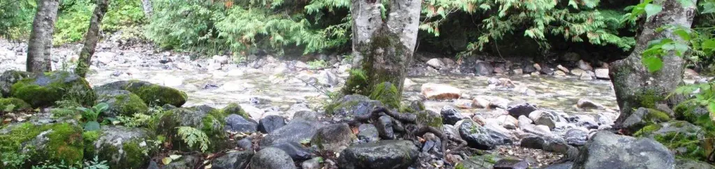 Denny Creek CampgroundCampingPhoto: Recreation.gov (RIDB) / public domain1 mi
 The ToothRock climbingPhoto: Wilderness trespasser, CC BY-SA 4.0 (via Wikimedia Commons)1.8 mi
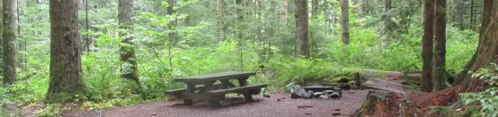 Tinkham CampgroundCampingPhoto: Recreation.gov (RIDB) / public domain6.5 mi
Source: Roamze catalog (indexable pages within 10 miles, PostGIS distance)
 Pineapple Pass BootpathHiking · ~4 min drivePhoto: brewbooks from near Seattle, USA, CC BY-SA 2.0 (via Wikimedia Commons)
 Gold Creek Pond TrailHiking · ~5 min drivePhoto: Leslie Seaton from Seattle, WA, USA, CC BY 2.0 (via Wikimedia Commons)Gold CreekHiking · ~6 min drivePhoto: Leslie Seaton from Seattle, WA, USA, CC BY 2.0 (via Wikimedia Commons)
 KALEETAN LAKEHiking · ~6 min drivePhoto: brewbooks from near Seattle, USA, CC BY-SA 2.0 (via Wikimedia Commons)
 Mount Catherine TrailHiking · ~6 min drivePhoto: brewbooks from near Seattle, USA, CC BY-SA 2.0 (via Wikimedia Commons)
Map and trail data © OpenStreetMap contributors
