Elk Creek Trail
- 1.6 mi
- round trip
- 1,453 ft
- climb
- 3,117 ft
- high point
- Out and back
- route
- Apr, Jul–Oct
- best months
Is Elk Creek Trail open right now?
Closure in the area
There's a closure order in Colville National Forest. It doesn't name Elk Creek Trail, so check the source for the area it covers.
Sinlahekin Fire Closure
Agency closure covering Colville National Forest · Order 06-21-09-26-15 · USFS · Colville National Forest
As of · Source: USFS · Colville National Forest. Agencies don't list every closure — check before you go.
Elk Creek Trail is a 3.1-mile out-and-back hike in the Sullivan Lake Ranger District of Colville National Forest in northern Washington. The trailhead sits at about 2,616 feet, and the route climbs to a high point of 3,117 feet, with a total gain of 1,453 feet over the round trip. The climb is front-loaded, and the steepest stretch comes within the first 0.2 miles, with a grade of about 21 percent. Summer is the most comfortable time to go. A nearby weather station at Boundary Dam, about 10 miles away and well below the trail's elevation, records typical July and August highs in the mid-80s with fewer wet days than the rest of the year. Winter is cold and snowy, with typical December highs around 32°F and about 10 snowy days. The trailhead is named Elk Creek Trailhead, and the trip is estimated to take about two hours. West Sullivan and Mill Pond campgrounds lie about 0.6 miles away, and the Elk Creek and Sullivan Creek Trail hikes are within a third of a mile.
Local outfitters
- Nordman Resort23 mi away
Not on Roamze yet. Their page has how to reach them.
- ELK CREEKHiking0.2 mi
- Sullivan Creek TrailHiking0.3 mi
- South Mill Pond TrailHiking0.3 mi
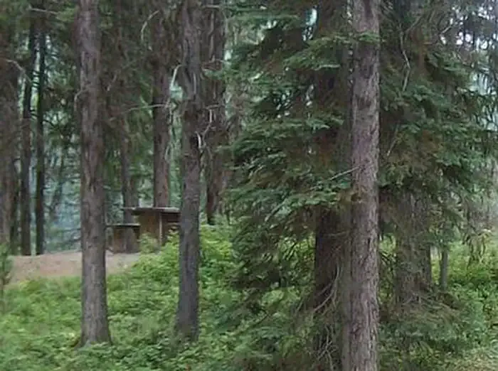 West SullivanCampingPhoto: Recreation.gov (RIDB) / public domain0.6 mi
- Mill PondCamping0.6 mi
- Outlet CreekCanoeing1.2 mi
 Metaline FallsRock climbingPhoto: waterarchives, CC BY-SA 2.0 (via Flickr)3.4 mi
- Slate CreekCanoeing6.1 mi
Source: Roamze catalog (indexable pages within 10 miles, PostGIS distance)
 NATUREHiking · ~3 min drivePhoto: zak11527, CC BY-SA 3.0 (via Wikimedia Commons)
 Jackson CreekHiking · ~21 min drivePhoto: Forest Service - Northern Region, Public Domain Mark (via Flickr)
- ELK CREEKHiking · Next door
- Lakeshore TrailHiking · ~8 min drive
- Sullivan Lake Nature TrailHiking · ~3 min drivePhoto: zak11527, CC BY-SA 3.0 (via Wikimedia Commons)
- SULLIVAN LAKEHiking · ~3 min drive
- Sullivan Creek TrailHiking · Next door
- Grassy Top TrailHiking · ~15 min drive
- Lakeshore Campground Spur TrailHiking · ~3 min drivePhoto: zak11527, CC BY-SA 3.0 (via Wikimedia Commons)
- CROWELL RIDGEHiking · ~6 min drive
Best time to visit Elk Creek Trail
Best months: April and July–October. Best months have typical highs of 55–85 °F, lows of 30 °F or warmer (32 °F where the station doesn't record snow), at most one snowy day and no more than 12 wet days.
Jan
33° / 21°
15 wet · 9 snow
Feb
38° / 22°
11 wet · 5 snow
Mar
48° / 27°
12 wet · 3 snow
Apr
58° / 33°
12 wet
May
67° / 41°
13 wet
Jun
72° / 48°
13 wet
Jul
84° / 52°
8 wet
Aug
85° / 50°
6 wet
Sep
73° / 43°
8 wet
Oct
56° / 35°
12 wet
Nov
40° / 28°
15 wet · 4 snow
Dec
32° / 21°
16 wet · 10 snow
Typical high / low (°F) and days with rain or snow, 1991–2020. Measured at Boundary Dam, WA, 9.7 mi away at 1,837 ft. The station sits about 1,300 ft lower than this place, so expect it a little cooler here. Source: NOAA NCEI U.S. Climate Normals 1991–2020.
Map and trail data © OpenStreetMap contributors
