Crowell Ridge
- 2.9 mi
- round trip
- 2,587 ft
- climb
- 6,741 ft
- high point
- Out and back
- route
Caution at last check
Agency alerts are in effect for this area; weather is good · USFS, OpenWeather · checked 19 h ago
Is CROWELL RIDGE open right now?
Closure in the area
There's a closure order in Colville National Forest. It doesn't name CROWELL RIDGE, so check the source for the area it covers.
Sinlahekin Fire Closure
Agency closure covering Colville National Forest · Order 06-21-09-26-15 · USFS · Colville National Forest
As of · Source: USFS · Colville National Forest. Agencies don't list every closure — check before you go.
Crowell Ridge is a hard hike in the Salmo-Priest Wilderness, part of the Sullivan Lake Ranger District of Colville National Forest in northeastern Washington. The Forest Service manages the land, and the route is an out-and-back of about 5.7 miles, with a one-way climb of roughly 1,470 feet. The total round-trip gain is about 2,587 feet, and the steepest stretch comes early, around 0.44 miles from the start, with a grade of about 28%. The trail begins at about 6,125 feet and reaches a high point of about 6,741 feet. That makes it a serious day for anyone not used to high-country hiking. Sullivan Creek, a canoeing spot, lies about 1.6 miles away, and the Crowell Ridge Trail #515 is about 2.3 miles off. For an overnight base, East Sullivan and West Sullivan campgrounds are both within about 3 miles.
Local outfitters
- Nordman Resort21 mi away
Not on Roamze yet. Their page has how to reach them.
- Sullivan CreekCanoeing1.6 mi
- Crowell Ridge Trail #515Hiking2.3 mi
 East SullivanCampingPhoto: Recreation.gov (RIDB) / public domain2.8 mi
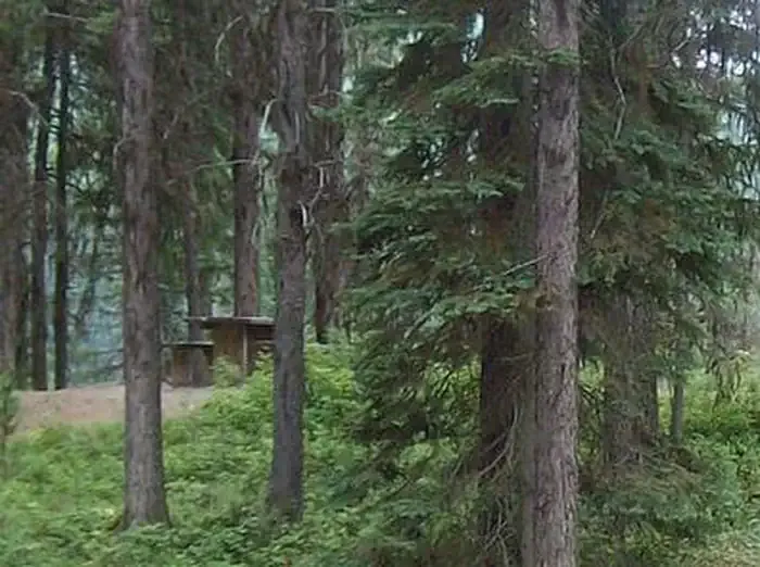 West SullivanCampingPhoto: Recreation.gov (RIDB) / public domain3 mi
- Mill PondCamping3.4 mi
- Sullivan Creek TrailHiking3.4 mi
- Outlet CreekCanoeing3.8 mi
 Metaline FallsRock climbingPhoto: waterarchives, CC BY-SA 2.0 (via Flickr)6.7 mi
Source: Roamze catalog (indexable pages within 10 miles, PostGIS distance)
 NATUREHiking · ~6 min drivePhoto: zak11527, CC BY-SA 3.0 (via Wikimedia Commons)
 Jackson CreekHiking · ~16 min drivePhoto: Forest Service - Northern Region, Public Domain Mark (via Flickr)
- SULLIVAN CREEKHiking · ~6 min drive
- Lakeshore TrailHiking · ~11 min drive
- Sullivan Lake Nature TrailHiking · ~6 min drivePhoto: zak11527, CC BY-SA 3.0 (via Wikimedia Commons)
- SULLIVAN LAKEHiking · ~6 min drive
- ELK CREEKHiking · ~6 min drive
- Shedroof Divide Trail #512Hiking · ~13 min drive
- Lakeshore Campground Spur TrailHiking · ~6 min drivePhoto: zak11527, CC BY-SA 3.0 (via Wikimedia Commons)
- Hall Mountain TrailHiking · ~9 min drive
Also worth it near here
