Olallie Creek Camp
Campground
Campground · 0.9 mi from the trail
Closure in the area
There's a closure order in Mount Rainier National Park. It doesn't name Cowlitz Divide, so check the source for the area it covers.
Paradise Road Status: Gate closed at Longmire: projected to open tomorrow
Park closure covering Mount Rainier National Park · NPS · Mount Rainier National Park
WILDFIRE CLOSURES: Sunrise & northern trails.
Park alert covering Mount Rainier National Park · NPS · Mount Rainier National Park
As of · Source: NPS · Mount Rainier National Park. Agencies don't list every closure — check before you go.
Cowlitz Divide is an out-and-back hike in Washington's Mount Rainier National Park, within the Mount Rainier Wilderness. The route rises from a low point of 2,139 feet to a high of 4,756 feet, with a total elevation gain of 5,508 feet over the full round trip. The climb is rated expert, and the steepest stretch comes at about 3.5 miles in, with a grade of 26%. The hike is 8.2 miles long, and a round trip takes about 5.5 hours. The trail is managed by the National Park Service, and a fee is charged. Summer is the most comfortable time to go. Typical averages from a nearby weather station at a similar elevation show July and August highs around 62 to 64°F, with lows in the mid-40s. That station sits higher than the trail's low point, so temperatures on the lower stretches run a bit warmer. The Ohanapecosh River, about 1.2 miles away, and the Spur and Stevens Creek Trail, both within 2 miles, make good companions for a longer day. Ohanapecosh Campground is about 3.6 miles off, and Liberty Cap is roughly 4.6 miles away.
Olallie Creek Camp
Campground
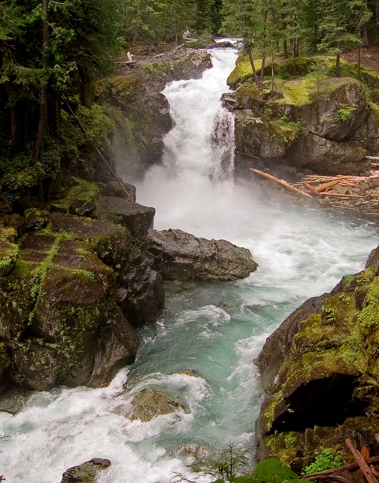
 If it rainsSteven Pavlov, CC BY-SA 4.0 · Wikimedia Commons
Places © OpenStreetMap contributors · Photos: Steven Pavlov, CC BY-SA 4.0 (commons)
More in PackwoodNot on Roamze yet. Their page has how to reach them.
 Ohanapecosh RiverCanoeingPhoto: Pfly, CC BY-SA 3.0 (via Wikimedia Commons)1.2 mi
 Ohanapecosh CampgroundCampingPhoto: Recreation.gov (RIDB) / public domain3.6 mi
 Ohanapecosh Group CampgroundCampingPhoto: Recreation.gov (RIDB) / public domain3.6 mi
Source: Roamze catalog (indexable pages within 10 miles, PostGIS distance)
 Shriner PeakHiking · ~6 min drivePhoto: Steven Pavlov, CC BY-SA 4.0 (via Wikimedia Commons)
 TATOOSH LAKESHiking · ~10 min drivePhoto: U.S. Forest Service- Pacific Northwest Region, Public domain (via Wikimedia Commons)Tatoosh Lake Trail #161BHiking · ~10 min drivePhoto: U.S. Forest Service- Pacific Northwest Region, Public domain (via Wikimedia Commons)Tatoosh Trail #161Hiking · ~10 min drivePhoto: U.S. Forest Service- Pacific Northwest Region, Public domain (via Wikimedia Commons)
 WaterfallHiking · ~11 min drivePhoto: Ralph Arvesen from Round Mountain, Texas, CC BY 2.0 (via Wikimedia Commons)
 Pinnacle PeakHiking · ~11 min drivePhoto: justin prince, CC BY-SA 3.0 (via Wikimedia Commons)
 Nisqually VistaHiking · ~11 min drivePhoto: Mount Rainier National Park from Ashford, WA, United States, Public domain (via Wikimedia Commons)
Best months: July–September. Best months have typical highs of 55–85 °F, lows of 30 °F or warmer (32 °F where the station doesn't record snow), at most one snowy day and no more than 12 wet days.
Jan
34° / 24°
Feb
34° / 23°
Mar
36° / 24°
Apr
40° / 26°
May
48° / 33°
Jun
54° / 37°
Jul
62° / 44°
Aug
64° / 45°
Sep
57° / 41°
Oct
46° / 33°
Nov
37° / 26°
Dec
33° / 22°
Typical high / low (°F) and days with rain or snow, 1991–2020. Measured at Rainier Paradise Rs, WA, 6.5 mi away at 5,427 ft. The station sits about 700 ft higher than this place, so expect it a little warmer here. This station doesn't record snowfall. Source: NOAA NCEI U.S. Climate Normals 1991–2020.

