Ohanapecosh Group Campground
Campground
Campground · 0.6 mi from the trail
Closure in the area
There's a closure order in Mount Rainier National Park. It doesn't name Ohanapecosh Hot Springs, so check the source for the area it covers (2 listed).
Paradise Road Status: Early Morning Update
Park closure covering Mount Rainier National Park · NPS · Mount Rainier National Park
State Routes 123 & 410 Closed for the season.
Park closure covering Mount Rainier National Park · NPS · Mount Rainier National Park
WILDFIRE CLOSURES: Sunrise & northern trails.
Park alert covering Mount Rainier National Park · NPS · Mount Rainier National Park
As of · Source: NPS · Mount Rainier National Park. Agencies don't list every closure — check before you go.
Ohanapecosh Group Campground
Campground
Santo Milagro
Mexican restaurant
 If it rainsSteven Pavlov, CC BY-SA 4.0 · Wikimedia Commons
Places © OpenStreetMap contributors, Places © Overture Maps Foundation · Photos: Steven Pavlov, CC BY-SA 4.0 (commons)
More in PackwoodAlso worth it near here
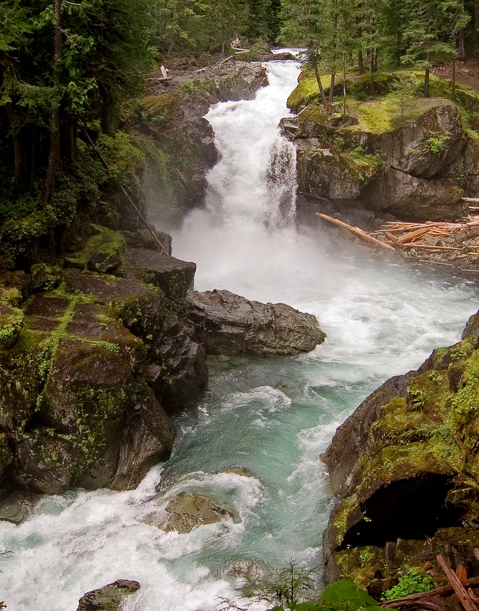
 Silver FallsWaterfall · ~2 min drivePhoto: VitaleBaby, Public domain (via Wikimedia Commons)
 Ohanapecosh RiverCanoeing · ~4 min drivePhoto: Pfly, CC BY-SA 3.0 (via Wikimedia Commons)
 Shriner PeakHiking · ~8 min drivePhoto: Steven Pavlov, CC BY-SA 4.0 (via Wikimedia Commons)
Best months: June–September. Best months have typical highs of 55–85 °F, lows of 30 °F or warmer (32 °F where the station doesn't record snow), at most one snowy day and no more than 12 wet days.
Jan
44° / 31°
19 wet
Feb
49° / 31°
17 wet
Mar
53° / 34°
19 wet
Apr
59° / 38°
18 wet
May
67° / 44°
15 wet
Jun
71° / 48°
10 wet
Jul
79° / 53°
5 wet
Aug
80° / 52°
4 wet
Sep
74° / 47°
8 wet
Oct
61° / 40°
15 wet
Nov
49° / 35°
19 wet
Dec
43° / 31°
20 wet
Typical high / low (°F) and days with rain or snow, 1991–2020. Measured at Packwood, WA, 10.3 mi away at 1,060 ft. The station sits about 900 ft lower than this place, so expect it a little cooler here. This station doesn't record snowfall. Source: NOAA NCEI U.S. Climate Normals 1991–2020.
Map and trail data © OpenStreetMap contributors
