Ohanapecosh Campground
Campground
Campground · < 0.1 mi from the trail
 Photo: Recreation.gov (RIDB) / public domain
Closure in the area
There's a closure order in Mount Rainier National Park. It doesn't name Ohanapecosh Campground, so check the source for the area it covers.
Paradise Road Status: Open, traction tires advised, gate closing at 3 p.m.
Park closure covering Mount Rainier National Park · NPS · Mount Rainier National Park
WILDFIRE CLOSURES: Sunrise & northern trails.
Park alert covering Mount Rainier National Park · NPS · Mount Rainier National Park
As of · Source: NPS · Mount Rainier National Park. Agencies don't list every closure — check before you go.
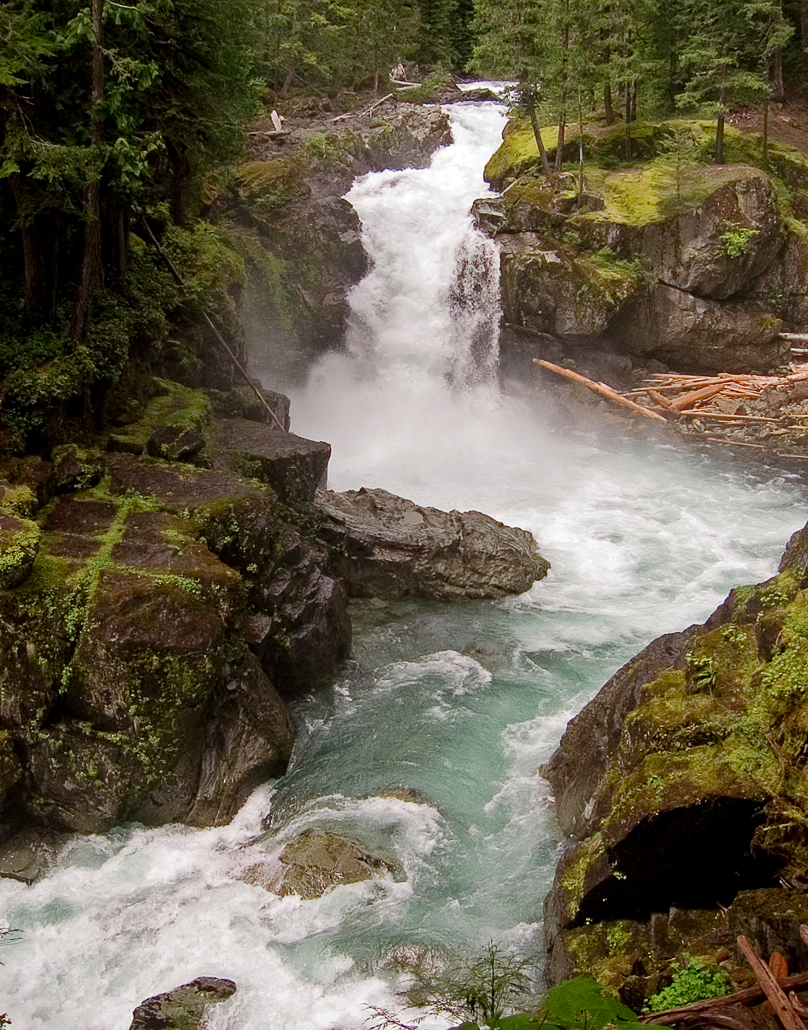
Ohanapecosh Campground, on the southeast side of Mount Rainier National Park, is surrounded by old growth forest and crossed by an exceptionally beautiful snow-fed river. Close to Ohanapecosh are popular hikes to Silver Falls. The Grove of the Patriarchs trail is closed to public access until the bridge accessing the Grove is replaced. The main attraction at Mount Rainier National Park is the mountain itself, a glacier-clad volcano of immense proportions. At 14,411 ft., it dominates the skyline for hundreds of miles. Visitors travel through majestic old-growth forests, past tumbling waterfalls and historic buildings to reach sub-alpine meadows, where world-famous wildflower displays are seen in July and August. Popular activities in the park include sight-seeing, hiking, climbing and camping. Ohanapecosh campground has an elevation of 1,914 feet. Weather is dry, cool and sunny in the summer with daytime temperatures in the 60 to 80-degree range. Even though the eastern side of the park can be sunnier than other areas, weather can be variable and visitors should come prepared.
Ohanapecosh Campground
Campground
White Pass Taqueria + Taproom
Restaurant
 If it rainsSteven Pavlov, CC BY-SA 4.0 · Wikimedia Commons
Places © OpenStreetMap contributors · Photos: Steven Pavlov, CC BY-SA 4.0 (commons)
More in PackwoodNot on Roamze yet. Their page has how to reach them.
Best months: June–September. Best months have typical highs of 55–85 °F, lows of 30 °F or warmer (32 °F where the station doesn't record snow), at most one snowy day and no more than 12 wet days.
Jan
44° / 31°
19 wet
Feb
49° / 31°
17 wet
Mar
53° / 34°
19 wet
Apr
59° / 38°
18 wet
May
67° / 44°
15 wet
Jun
71° / 48°
10 wet
Jul
79° / 53°
5 wet
Aug
80° / 52°
4 wet
Sep
74° / 47°
8 wet
Oct
61° / 40°
15 wet
Nov
49° / 35°
19 wet
Dec
43° / 31°
20 wet
Typical high / low (°F) and days with rain or snow, 1991–2020. Measured at Packwood, WA, 9.8 mi away at 1,060 ft. The station sits about 900 ft lower than this place, so expect it a little cooler here. This station doesn't record snowfall. Source: NOAA NCEI U.S. Climate Normals 1991–2020.
Source: National Park Service API; Recreation.gov (RIDB)
BED
La Wis Wis Campground
~7 min drive
 Photo: brewbooks — CC BY-SA 2.0 (via Flickr)
Camp Summerland
~18 min drive
Camp Summerland is a campground in Washington at about 5,997 feet, with 5 sites. It is managed by the National Park Service.
 Photo: Mitch from Costa Mesa, CA, USA, CC BY-SA 2.0 (via Wikimedia Commons)
Camp Muir
~18 min drive
Camp Muir is a campground in Washington at about 10,090 feet. It is managed by the National Park Service.
BED
Cougar Rock Group Campground
~19 min drive
BED
Cougar Rock Campground
~19 min drive
BED
Summit Creek Cg
~4 min drive
SUMMIT CREEK CG is a campground in Oregon with 35 sites.
BED
Nickel Creek
~7 min drive
Nickel Creek is a campground in Washington at about 3,385 feet. It is managed by the National Park Service.
BED
Maple Creek Camp
~8 min drive
Maple Creek Camp is a campground in Washington at about 2,801 feet. It is managed by the National Park Service.
BED
Soda Springs Cg & Th
~8 min drive
BED
Three Lakes Camp
~9 min drive
Three Lakes Camp is a campground in Washington at about 4,694 feet, with 3 sites. It is managed by the National Park Service.
Ohanapecosh Campground
192 sites for RV and tent camping