Snow Lake Camp
Campground
Campground · 0.9 mi from the trail
Closure in the area
There's a closure order in Mount Rainier National Park. It doesn't name Liberty Cap, so check the source for the area it covers (3 listed).
State Routes 123 & 410 within park boundaries are closed for the season
Park closure covering Mount Rainier National Park · NPS · Mount Rainier National Park
State Routes 123 & 410 closing for the season tomorrow, November 18th, 10am
Park closure covering Mount Rainier National Park · NPS · Mount Rainier National Park
Paradise Road Status: Open, traction tires advised, gate closing at 3 pm.
Park closure covering Mount Rainier National Park · NPS · Mount Rainier National Park
WILDFIRE CLOSURES: Sunrise & northern trails.
Park alert covering Mount Rainier National Park · NPS · Mount Rainier National Park
As of · Source: NPS · Mount Rainier National Park. Agencies don't list every closure — check before you go.
Liberty Cap is a 14,098-foot summit in Mount Rainier National Park, Washington, on land managed by the National Park Service. This mountaineering route is rated expert and is one of the most demanding objectives in the park. The route starts at Glacier Basin Trailhead and runs out and back for about 23.1 miles round trip. It gains about 10,160 feet one way to the top, and roughly 10,420 feet of climbing counting the full round trip. The mapped trail ends 0.9 miles short of the summit. That last stretch is off-trail with no mapped path, so you will need solid route-finding skills to reach the high point. Another warns visitors to be cautious around park rivers and learn how to cross them safely. Other mountain objectives nearby include the Mount Rainier summit route, about 1.8 miles away, and the Tatoosh Range climbing area at about 2 miles. Snow Lake is a hike 0.6 miles off. Cougar Rock Campground, about 4.3 miles away, is the closest place to camp.
Snow Lake Camp
Campground
 If it rainsSteven Pavlov, CC BY-SA 4.0 · Wikimedia Commons
Places © OpenStreetMap contributors · Photos: Steven Pavlov, CC BY-SA 4.0 (commons)
More in PackwoodDaily highs and lows, wind and the chance of precipitation at the summit and route start for the next 7 days, from the Open-Meteo model.
 Tatoosh RangeRock climbingPhoto: Purplepumpkins, CC BY-SA 4.0 (via Wikimedia Commons)2 mi
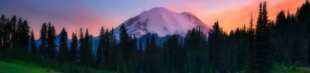 Cougar Rock CampgroundCampingPhoto: Recreation.gov (RIDB) / public domain4.3 mi
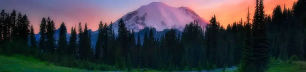 Cougar Rock Group CampgroundCampingPhoto: Recreation.gov (RIDB) / public domain4.3 mi
 Nisqually RiverCanoeingPhoto: Ian Poellet, CC BY-SA 3.0 (via Wikimedia Commons)5 mi
Source: Roamze catalog (indexable pages within 10 miles, PostGIS distance)
Also worth it near here
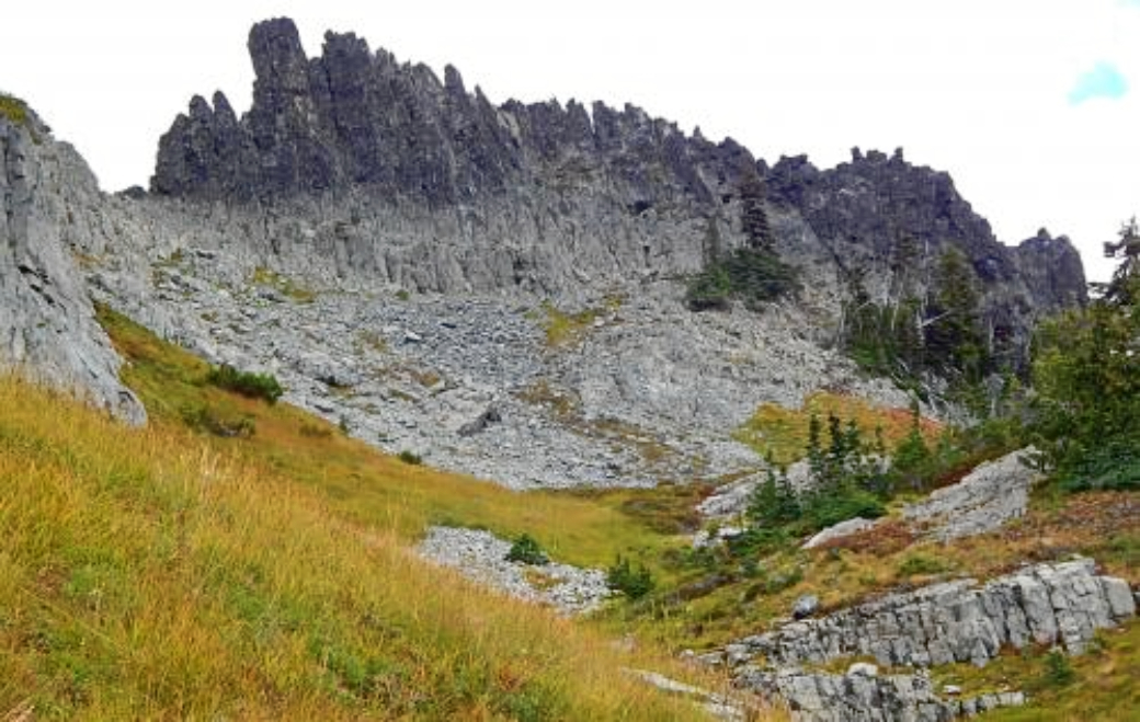 The CastleSummit · ~3 min drivePhoto: Ron Clausen, CC BY-SA 4.0 (via Wikimedia Commons)
 Pinnacle PeakHiking · ~3 min drivePhoto: justin prince, CC BY-SA 3.0 (via Wikimedia Commons)Tatoosh RangeRock climbing · ~3 min drivePhoto: Purplepumpkins, CC BY-SA 4.0 (via Wikimedia Commons)
 Narada FallsWaterfall · ~4 min drivePhoto: Mr.Z-man, CC BY-SA 3.0 (via Wikimedia Commons)
About 23.1 mi round trip from Glacier Basin Trailhead.
About 10,420 ft of climbing round trip.
It is rated expert.
Glacier Basin Trailhead.
© openrouteservice.org by HeiGIT | Map data © OpenStreetMap contributors
