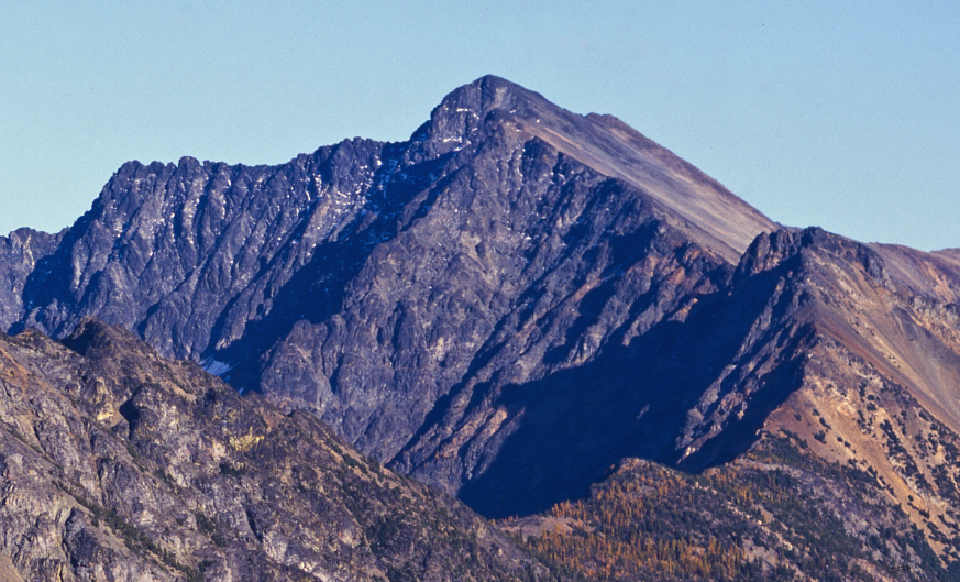
Robinson Creek Backcountry Camping
Campground
Campground · < 0.1 mi from the trail
Closure in the area
There's a closure order in Okanogan-Wenatchee National Forest. It doesn't name Beauty Creek Trail, so check the source for the area it covers (3 listed).
Little Giant Fire Closure Superseding
Agency closure covering Okanogan-Wenatchee National Forest · Order 06-17-07-2026-48 · USFS · Okanogan-Wenatchee National Forest
Railroad and Preston Creek Road Closure
Agency closure covering Okanogan-Wenatchee National Forest · Order 06-17-05-26-04 · USFS · Okanogan-Wenatchee National Forest
MVRD Storm Damaged Roads
Agency closure covering Methow Valley Ranger District · Order 06-17-04-26-09 · USFS · Methow Valley Ranger District
Cle Elum River Restoration Area Closure on the Cle Elum Ranger District
Agency alert covering Okanogan-Wenatchee National Forest · USFS · Okanogan-Wenatchee National Forest
Storm Damaged Roads Closure on Methow Valley District
Agency alert covering Methow Valley Ranger District · Order 06-17-04-26-18 · USFS · Methow Valley Ranger District
As of · Source: USFS · Okanogan-Wenatchee National Forest. Agencies don't list every closure — check before you go.
Beauty Creek Trail is a 3.1-mile out-and-back hike in Washington's Pasayten Wilderness, within the Methow Valley Ranger District of the Okanogan-Wenatchee National Forest. The Forest Service manages the land, and the trail starts at about 3,624 feet, rising to a high point of 5,358 feet with a total elevation gain of 2,350 feet. The climb is front-loaded, with the steepest stretch at about 0.43 miles in, where the grade reaches 39 percent. The route is rated moderate, and the round trip takes about two hours. The trail is a wilderness route, so plan for a day in the backcountry rather than a short outing. Nearby, Robinson Creek Trail lies about a mile away, and the Beauty Creek hike is about 1.9 miles off. For an overnight stay, Ballard Campground and River Bend Campground are both within about 3 miles.
Robinson Creek Backcountry Camping
Campground
Places © OpenStreetMap contributors
More in Winthrop Methow RiverCanoeingPhoto: Benjamin Cody, CC BY-SA 3.0 (via Wikimedia Commons)4.8 mi
Source: Roamze catalog (indexable pages within 10 miles, PostGIS distance)
 Rattlesnake CutoffHiking · ~13 min drivePhoto: Robert Ashworth from Bellingham, WA., USA, CC BY 2.0 (via Wikimedia Commons)
 Creek Overlook LoopHiking · ~15 min drivePhoto: Robert Ashworth from Bellingham, WA., USA, CC BY 2.0 (via Wikimedia Commons)Methow Valley Community Trail- Mazama to Freestone InnHiking · ~15 min drivePhoto: Robert Ashworth from Bellingham, WA., USA, CC BY 2.0 (via Wikimedia Commons)
Also worth it near here
Map and trail data © OpenStreetMap contributors