Soda Springs Cg & Th
Campground
Campground · < 0.1 mi from the trail
Caution at last check
Agency alerts are in effect for this area; weather is good · USFS, OpenWeather · checked 16 h ago
Closure in the area
There's a closure order in Cowlitz Valley Ranger District. It doesn't name Soda Springs Cg & Th, so check the source for the area it covers.
Backbone Fire Area, Road, and Trail Closure
Agency closure covering Cowlitz Valley Ranger District · Order 06-03-05-26-07 · USFS · Cowlitz Valley Ranger District
Backbone Fire Area, Road, and Trail Closure
Agency alert covering Cowlitz Valley Ranger District · Order 06-03-05-26-07 · USFS · Cowlitz Valley Ranger District
Fire Restrictions
Agency alert covering Gifford Pinchot National Forest · USFS · Gifford Pinchot National Forest
Seasonal Road Closures
Agency alert covering Gifford Pinchot National Forest · USFS · Gifford Pinchot National Forest
Road Repairs & Road Closures in 2026
Agency alert covering Gifford Pinchot National Forest · USFS · Gifford Pinchot National Forest
As of · Source: USFS · Cowlitz Valley Ranger District. Agencies don't list every closure — check before you go.
Soda Spring Campground is a small, rustic site located at the end of Forest Road 4510.052 in a stand of Douglas fir, western hemlock, and silver fir. The Campground has 7 sites suitable for tent camping, pickup campers, or smaller trailers. Sites have moderate screening and are not crowded. There is one old-style double vault toilet and an information board. All sites have tables and fire rings with grill feature. This campground tends to be lightly used and quiet, with only minor local traffic. The access route is moderately steep single lane with occasional pullouts. Larger trailers are not recommended. Local attraction is a small soda spring, site of old bottling facility. No structures remain. Horses are prohibited in the campground, equestrians please use the nearby Soda Spring Horse Trailhead. The Cowlitz Trail #44 trailhead is located in the campground, providing access to the adjacent William O. Douglas Wilderness. A wilderness permit is required to enter the wilderness area. Permits are free and self-issued at the trailhead. Motorized and mechanized uses are prohibited in wilderness areas.
Soda Springs Cg & Th
Campground
White Pass Taqueria + Taproom
Restaurant
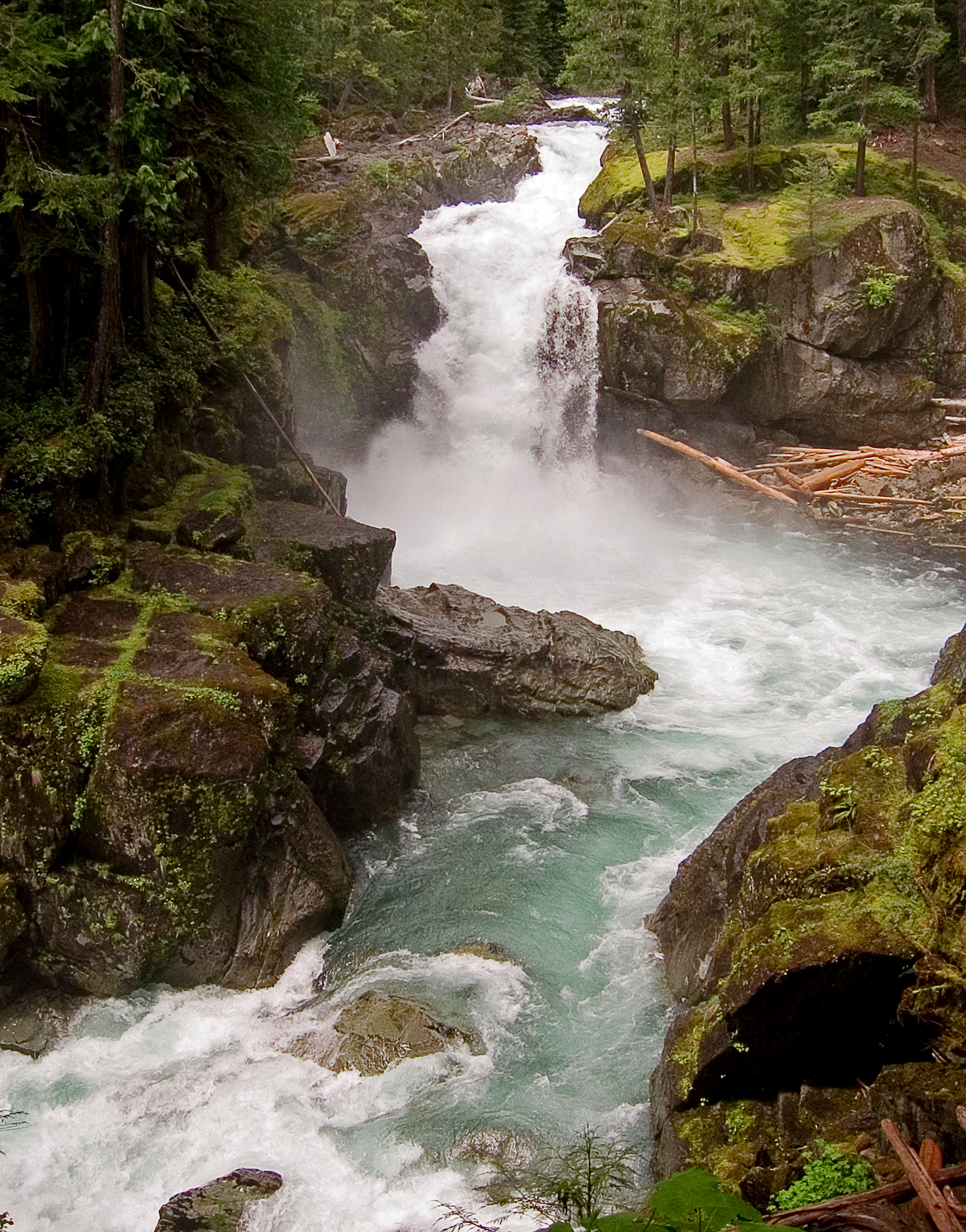
 If it rainsSteven Pavlov, CC BY-SA 4.0 · Wikimedia Commons
Places © OpenStreetMap contributors · Photos: Steven Pavlov, CC BY-SA 4.0 (commons)
More in PackwoodNot on Roamze yet. Their page has how to reach them.
 Ohanapecosh CampgroundCampingPhoto: Recreation.gov (RIDB) / public domain4.7 mi
 Ohanapecosh Group CampgroundCampingPhoto: Recreation.gov (RIDB) / public domain4.7 mi
 La Wis Wis CampgroundCampingPhoto: Recreation.gov (RIDB) / public domain5.5 mi
Source: Roamze catalog (indexable pages within 10 miles, PostGIS distance)
Best months: July–September. Best months have typical highs of 55–85 °F, lows of 30 °F or warmer (32 °F where the station doesn't record snow), at most one snowy day and no more than 12 wet days.
Jan
37° / 26°
21 wet · 9 snow
Feb
40° / 26°
18 wet · 8 snow
Mar
45° / 28°
20 wet · 8 snow
Apr
51° / 31°
18 wet · 4 snow
May
60° / 37°
17 wet · 1 snow
Jun
66° / 41°
14 wet
Jul
75° / 46°
8 wet
Aug
76° / 46°
7 wet
Sep
69° / 42°
10 wet
Oct
55° / 35°
16 wet · 1 snow
Nov
42° / 29°
19 wet · 5 snow
Dec
36° / 25°
21 wet · 10 snow
Typical high / low (°F) and days with rain or snow, 1991–2020. Measured at Longmire Rainier Nps, WA, 16.1 mi away at 2,762 ft. Source: NOAA NCEI U.S. Climate Normals 1991–2020.