Shawvers Run
- 5 routes
- V0 – V4
- Bouldering
- Jul–Nov
- best months
Is Shawvers Run open right now?
Closure in the area
There's a closure order in George Washington and Jefferson National Forest. It doesn't name Shawvers Run, so check the source for the area it covers (2 listed).
Enchanted Creek Road (National Forest System Road 1881) will be closed for repairs until 12/31/27
Agency closure covering George Washington and Jefferson National Forest · USFS · George Washington and Jefferson National Forest
Bolar Mountain Recreation Area - Twin Ridge Road Closure
Agency closure covering George Washington and Jefferson National Forest · USFS · George Washington and Jefferson National Forest
Prescribed Fire Operations Mount Rogers National Recreation Area- Porter and Little Mountain
Agency alert covering George Washington and Jefferson National Forest · USFS · George Washington and Jefferson National Forest
Road Closures James River and Warm Springs Ranger District
Agency alert covering George Washington and Jefferson National Forest · USFS · George Washington and Jefferson National Forest
Virginia Creeper National Recreation Trail Closure Update
Agency alert covering George Washington and Jefferson National Forest · USFS · George Washington and Jefferson National Forest
As of · Source: USFS · George Washington and Jefferson National Forest. Agencies don't list every closure — check before you go.
Shawvers Run is a bouldering area in the Shawvers Run Wilderness, part of the Eastern Divide Ranger District of the George Washington and Jefferson National Forest in Virginia. The Forest Service manages the land, and the surrounding wilderness makes this a remote, backcountry destination. The area is small, with six boulder problems, all rated on the V scale from V0- to V4. Most are V0 or V2, making it a good spot for climbers of all levels. The routes include Downclimb (V0-), Warm Up Wall (V0), High Roller (V2) and Killer Wave (V4), with first ascents by climbers such as Daniel Kessler and Nathan Witt. September and October tend to be the most comfortable months to visit, with typical highs in the upper 70s and lower 60s and fewer wet days than spring, based on averages from a nearby weather station in West Virginia. That station sits about 1,500 feet below the boulders, so temperatures on the cliff run cooler. The Hanging Rock Overlook Trail starts just 0.2 miles away, and Potts Arm and Cove are within about 2.5 miles. Steel Bridge Campground, roughly 3 miles off, is the closest place to camp.
- Hanging Rock Overlook TrailHiking0.2 mi
- Potts ArmHiking1.8 mi
- CoveHiking2.5 mi
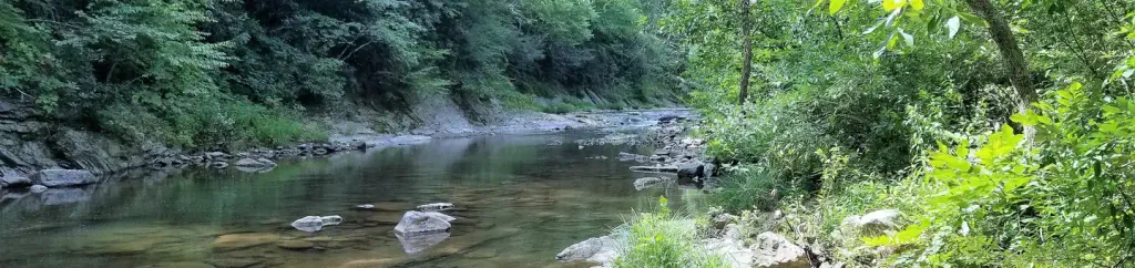 Steel Bridge CampgroundCampingPhoto: Recreation.gov (RIDB) / public domain3.1 mi
- Graveyard TrailHiking4.9 mi
- Bald MountainHiking7 mi
- Lipes BranchHiking7 mi
 The PinesCampingPhoto: Peter Fisher-Duke (z…, CC BY-SA 3.0 (via Wikimedia Commons)7.2 mi
Source: Roamze catalog (indexable pages within 10 miles, PostGIS distance)
 McAfee's KnobRock climbing · ~23 min drivePhoto: Idawriter, CC BY-SA 3.0 (via Wikimedia Commons)
- RoadsideRock climbing · ~24 min drivePhoto: Idawriter, CC BY-SA 3.0 (via Wikimedia Commons)
- Middle DragonRock climbing · ~24 min drivePhoto: Idawriter, CC BY-SA 3.0 (via Wikimedia Commons)
 Devil's KitchenRock climbing · ~25 min drivePhoto: Idawriter, CC BY-SA 3.0 (via Wikimedia Commons)
- Left DragonRock climbing · ~24 min drive
- Mickey Mouse BouldersRock climbing · ~24 min drive
- Dragon BouldersRock climbing · ~24 min drive
- Arrow Boulder AreaRock climbing · ~24 min drive
- Finite Element AreaRock climbing · ~24 min drive
- Right CorridorRock climbing · ~24 min drive
Best time to visit Shawvers Run
Best months: July–November. Best months have typical highs of 55–85 °F, lows of 30 °F or warmer (32 °F where the station doesn't record snow), at most one snowy day and no more than 12 wet days.
Jan
42° / 22°
10 wet · 4 snow
Feb
46° / 24°
10 wet · 4 snow
Mar
55° / 30°
12 wet · 2 snow
Apr
66° / 39°
13 wet
May
74° / 48°
15 wet
Jun
81° / 57°
13 wet
Jul
84° / 61°
12 wet
Aug
83° / 59°
11 wet
Sep
78° / 52°
9 wet
Oct
68° / 40°
9 wet
Nov
56° / 30°
9 wet · 1 snow
Dec
46° / 25°
11 wet · 3 snow
Typical high / low (°F) and days with rain or snow, 1991–2020. Measured at Union 3 Sse, WV, 18.6 mi away at 2,110 ft. The station sits about 1,500 ft lower than this place, so expect it a little cooler here. Source: NOAA NCEI U.S. Climate Normals 1991–2020.
