Prospect Mountain
- 2,772 ft
- summit
- 2
- ways up
- May–Oct
- best months
Is Prospect Mountain open right now?
Closure in the area
There's a closure order in Green Mountain and Finger Lakes National Forests. It doesn't name Prospect Mountain, so check the source for the area it covers (3 listed).
Klondike Fire Incident Report
Agency closure covering Green Mountain and Finger Lakes National Forests · USFS · Green Mountain and Finger Lakes National Forests
Heavily damaged or closed trails
Agency closure covering Green Mountain and Finger Lakes National Forests · USFS · Green Mountain and Finger Lakes National Forests
Glastenbury fire tower is closed to public use
Agency closure covering Green Mountain and Finger Lakes National Forests · USFS · Green Mountain and Finger Lakes National Forests
Moosalamoo Campground Water System
Agency alert covering Green Mountain and Finger Lakes National Forests · USFS · Green Mountain and Finger Lakes National Forests
As of · Source: USFS · Green Mountain and Finger Lakes National Forests. Agencies don't list every closure — check before you go.
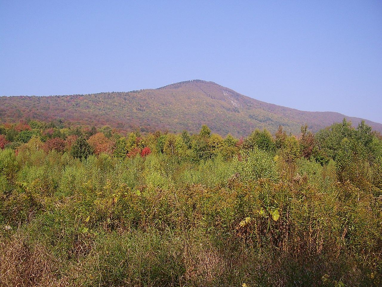
Prospect Mountain is a summit of 2,772 feet in Vermont's Manchester Ranger District, part of the Green Mountain and Finger Lakes National Forests. The nearest town is Bennington, about 6 miles away. Summer is the most comfortable time to visit. Typical July and August highs reach about 75°F with lows in the mid-50s, based on averages from a nearby weather station. That station sits roughly 1,000 feet lower than the summit, so temperatures on top run cooler. The mountain sits close to several other outdoor spots. Hawthorn and Jackson's Crossing, both cross-country ski areas, are within half a mile. Melville Nauheim Shelter, a campground, is about 1.7 miles away, and the Future Cave climbing area is about 2.9 miles off.
Conditions and forecast
Daily highs and lows, wind and the chance of precipitation at the summit and route start for the next 7 days, from the Open-Meteo model.
- Summit elevation
- 2,772 ft
Elevation from USGS 3D Elevation Program terrain data (about 10 m resolution).
- Mountain trailEasyabout 528 ft of climbing2.5 mi round trip
- PROSPECT MTN - MOUNTAINEasyabout 713 ft of climbing2.9 mi round trip
Compare the routes Mountain trail PROSPECT MTN - MOUNTAIN Climbing About 528 ft About 713 ft Round trip 2.5 mi 2.9 mi Difficulty Easy Easy Terrain Hike Hike Map © Mapbox © OpenStreetMap contributors Questions about Prospect Mountain
How tall is Prospect Mountain?
2,772 ft (845 m).
How many routes go to the summit of Prospect Mountain?
2: Mountain trail and PROSPECT MTN - MOUNTAIN.
What is the shortest route up Prospect Mountain?
Mountain trail, about 2.5 mi round trip.
- HawthornCross-country skiing0.2 mi
- Jackson's CrossingCross-country skiing0.5 mi
- Melville Nauheim ShelterCamping1.7 mi
- Future CaveRock climbing2.9 mi
- Congdon ShelterCamping2.9 mi
- Ship's ProwRock climbing3.1 mi
- North Branch Hoosic RiverCanoeing7.7 mi
- Deerfield RiverCanoeing8.9 mi
Source: Roamze catalog (indexable pages within 10 miles, PostGIS distance)
 Hogback MountainSummit · ~24 min drivePhoto: Madereugeneandrew, CC BY-SA 4.0 (via Wikimedia Commons)
 Stratton MountainSummit · ~28 min drivePhoto: Doc Searls from Santa Barbara, USA, CC BY-SA 2.0 (via Wikimedia Commons)
 Mount GreylockSummit · ~29 min drivePhoto: Jstergis, CC BY 3.0 (via Wikimedia Commons)
 Stone MountainSummit · ~34 min drivePhoto: KyleAndMelissa22, Public domain (via Wikimedia Commons)
 Equinox MountainSummit · ~35 min drivePhoto: NEWND, Public domain (via Wikimedia Commons)
 Bromley MountainSummit · ~43 min drivePhoto: Jared C. Benedict, CC BY-SA 4.0 (via Wikimedia Commons)
 Dorset MountainSummit · ~52 min drivePhoto: Wwoods, CC BY-SA 4.0 (via Wikimedia Commons)
- Maple HillSummit · ~3 min drive
- Hagar HillSummit · ~5 min drive
- Harmon HillSummit · ~6 min drive
Best time to visit Prospect Mountain
Best months: May–October. Best months have typical highs of 55–85 °F, lows of 30 °F or warmer (32 °F where the station doesn't record snow), at most one snowy day and no more than 12 wet days.
Jan
29° / 11°
Feb
31° / 13°
Mar
39° / 20°
Apr
51° / 32°
May
63° / 42°
Jun
70° / 52°
Jul
75° / 57°
Aug
75° / 55°
Sep
68° / 48°
Oct
56° / 36°
Nov
44° / 28°
Dec
34° / 19°
Typical high / low (°F) and days with rain or snow, 1991–2020. Measured at Rowe 3ne, MA, 13.9 mi away at 1,735 ft. The station sits about 1,000 ft lower than this place, so expect it a little cooler here. This station doesn't record snowfall. Source: NOAA NCEI U.S. Climate Normals 1991–2020.
