Southern Vermont
- 3 routes
- V4- – V8
- Bouldering
- May–Oct
- best months
Clear today
Weather is good · OpenWeather · checked just now
Southern Vermont is a climbing area in Vermont, about 1.7 miles from the town of Rawsonville. It sits in the state's southern corner, close to several other outdoor spots that make it easy to pair with a longer day in the area. Summer is the most comfortable time to visit. Typical averages from a nearby weather station in Peru, at a similar elevation, run to highs around 75°F in July with lows near 56°F, while winter highs stay in the 20s. The Westl River Trail is about a mile away and the West River Trail about 2.2 miles. For more climbing, Entry Boulder and Jamaica Boulders are both within about 7 miles.
- Westl River TrailHiking1 mi
 West River TrailHikingPhoto: U.S. Army Corps of Engineers, photographer not specified or unknown, Public domain (via Wikimedia Commons)2.2 mi
- Entry BoulderRock climbing6.8 mi
- Jamaica BouldersRock climbing7.1 mi
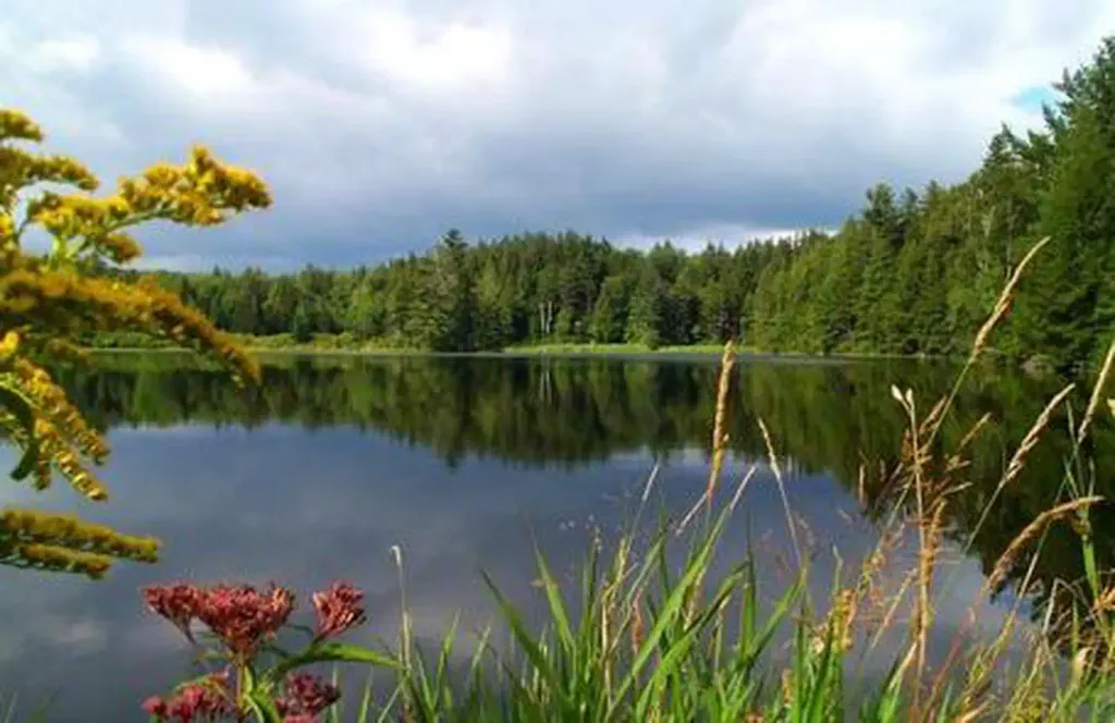 Hapgood PondPier fishingPhoto: Recreation.gov (RIDB) / public domain7.4 mi
- Bromley ShelterCamping8 mi
 Saxtons RiverCanoeingPhoto: Charles Fulton, CC BY 2.0 (via Wikimedia Commons)8.3 mi
- Stratton Pond Recreation AreaCamping8.6 mi
Source: Roamze catalog (indexable pages within 10 miles, PostGIS distance)
- Entry BoulderRock climbing · ~12 min drive
- Jamaica BouldersRock climbing · ~12 min drive
- Second WallRock climbing · ~13 min drive
- The HelmRock climbing · ~15 min drive
- The FarmhouseRock climbing · ~15 min drive
- Debris Field RightRock climbing · ~15 min drive
- Crash SiteRock climbing · ~15 min drive
- Balance RockRock climbing · ~15 min drive
- Area 51Rock climbing · ~15 min drive
- The ArboristRock climbing · ~15 min drive
Also worth it near here
 Winhall Brook CampgroundCamping · ~1 min drivePhoto: dickmfield — CC BY 2.0 (via Flickr)
- West River TrailHiking · ~4 min drivePhoto: U.S. Army Corps of Engineers, photographer not specified or unknown, Public domain (via Wikimedia Commons)
- Ball Mountain LakeLake fishing · ~5 min drive
- Hamilton FallsWaterfall · ~5 min drive
Best time to visit Southern Vermont
Best months: May–October. Best months have typical highs of 55–85 °F, lows of 30 °F or warmer (32 °F where the station doesn't record snow), at most one snowy day and no more than 12 wet days.
Jan
27° / 8°
Feb
31° / 10°
Mar
38° / 17°
Apr
50° / 30°
May
64° / 42°
Jun
70° / 51°
Jul
75° / 56°
Aug
73° / 55°
Sep
67° / 47°
Oct
56° / 37°
Nov
43° / 26°
Dec
32° / 16°
Typical high / low (°F) and days with rain or snow, 1991–2020. Measured at Peru, VT, 8.3 mi away at 1,700 ft. The station sits about 600 ft higher than this place, so expect it a little warmer here. This station doesn't record snowfall. Source: NOAA NCEI U.S. Climate Normals 1991–2020.
