BSA Camp Tracy
Campground
Campground · 1.0 mi from the trail
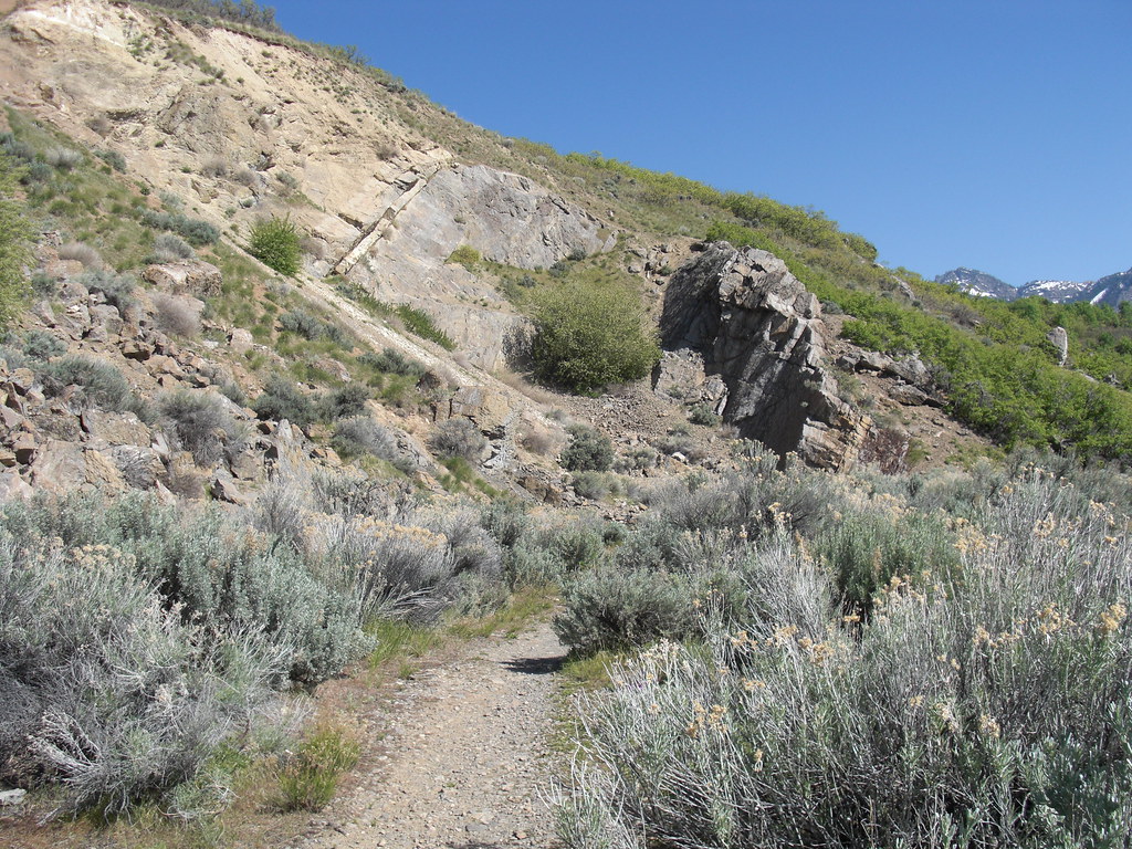
 Photo: summitcheese, CC BY-SA 2.0 (via Wikimedia Commons)
No closures listed
The Forest Service lists no closures for Uinta-Wasatch-Cache National Forest.
As of · Source: USFS · Uinta-Wasatch-Cache National Forest. Agencies don't list every closure — check before you go.
Grandeur Peak is a summit of 8,292 feet in the Salt Lake Ranger District of the Uinta-Wasatch-Cache National Forest in Utah, about 4 miles from the town of Millcreek. The Forest Service manages the land. Summer is the most comfortable time to go. Typical averages from a nearby weather station in Alta, at a similar elevation, show July highs around 73°F with lows near 50°F, while winter highs stay around 30°F. Several other destinations sit close by. The Mill Creek Crest hike is about half a mile away, and the Grandeur Peak West hike and the Church Fork Wall climbing area are each under a mile off. For an overnight stay, Jordan Pines Campground is about 7 miles away.
BSA Camp Tracy
Campground
Millcreek Inn
Restaurant
 If it rainsAnother Believer, CC BY-SA 4.0 · Wikimedia Commons
Places © OpenStreetMap contributors · Photos: Another Believer, CC BY-SA 4.0 (commons)
More in HeberDaily highs and lows, wind and the chance of precipitation at the summit and route start for the next 7 days, from the Open-Meteo model.
Elevation from USGS 3D Elevation Program terrain data (about 10 m resolution).
| Grandeur Peak | Grandeur Peak West | |
|---|---|---|
| Climbing | About 151 ft | About 1,553 ft |
| Round trip | 0.3 mi | 2.0 mi |
| Difficulty | Easy | Moderate |
| Terrain | Hike | Hike |
8,292 ft (2,527 m).
2: Grandeur Peak and Grandeur Peak West.
Grandeur Peak, about 0.3 mi round trip.


 Grandeur Peak WestHikingPhoto: Famartin, CC BY-SA 3.0 (via Wikimedia Commons)0.8 mi
Source: Roamze catalog (indexable pages within 10 miles, PostGIS distance)
Mount AireSummit · ~6 min drivePhoto: Ken Lund, CC BY-SA 2.0 (via Wikimedia Commons)Mount OlympusSummit · ~6 min drivePhoto: Cory Maylett (talk · contribs), CC BY-SA 3.0 (via Wikimedia Commons)Mount RaymondSummit · ~8 min drivePhoto: Derrellwilliams, CC BY-SA 4.0 (via Wikimedia Commons)Gobblers KnobSummit · ~8 min drivePhoto: Derrellwilliams, CC BY-SA 4.0 (via Wikimedia Commons)Mount WireSummit · ~8 min drivePhoto: Milonica at English Wikipedia, CC BY-SA 3.0 (via Wikimedia Commons)Red ButteSummit · ~9 min drivePhoto: Milonica, CC BY-SA 3.0 (via Wikimedia Commons) Mount Van CottSummit · ~11 min drivePhoto: Template:Author federal, Public domain (via Wikimedia Commons)
 Kesler PeakSummit · ~13 min drivePhoto: Derrellwilliams, CC BY-SA 4.0 (via Wikimedia Commons)
 Superior PeakSummit · ~16 min drivePhoto: Derrellwilliams, CC BY-SA 4.0 (via Wikimedia Commons)
 Grandview PeakSummit · ~17 min drivePhoto: Kvforester, CC BY-SA 4.0 (via Wikimedia Commons)
Best months: June–September. Best months have typical highs of 55–85 °F, lows of 30 °F or warmer (32 °F where the station doesn't record snow), at most one snowy day and no more than 12 wet days.
Jan
31° / 15°
14 wet
Feb
31° / 15°
13 wet
Mar
37° / 20°
13 wet
Apr
42° / 25°
12 wet
May
53° / 33°
10 wet
Jun
64° / 42°
7 wet
Jul
73° / 50°
7 wet
Aug
71° / 49°
9 wet
Sep
62° / 41°
9 wet
Oct
49° / 31°
9 wet
Nov
37° / 21°
11 wet
Dec
30° / 15°
14 wet
Typical high / low (°F) and days with rain or snow, 1991–2020. Measured at Alta, UT, 10.3 mi away at 8,710 ft. This station doesn't record snowfall. Source: NOAA NCEI U.S. Climate Normals 1991–2020.