BSA Camp Tracy
Campground
Campground · 1.6 mi from the trail
 Photo: Famartin, CC BY-SA 3.0 (via Wikimedia Commons)
No closures listed
The Forest Service lists no closures for Uinta-Wasatch-Cache National Forest.
As of · Source: USFS · Uinta-Wasatch-Cache National Forest. Agencies don't list every closure — check before you go.
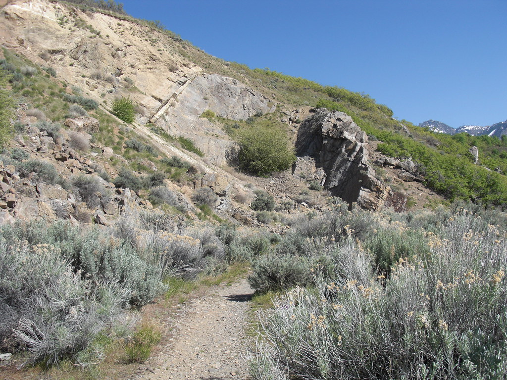
Grandeur Peak West is a moderate hike in Utah's Uinta-Wasatch-Cache National Forest, within the Salt Lake Ranger District. The trail is a 2-mile loop that gains about 1,550 feet in elevation, with a low point around 5,163 feet and a high point near 8,292 feet. Summer is the most comfortable time to go. At the Alta weather station, about 11 miles away, typical July averages run to a high of 73°F and a low of 50°F. Winter is harsh, with typical January highs near 31°F and lows around 15°F. The trip takes about 1.5 hours. The route lies close to other destinations: the Crestwood Ridge Trail and the Grandeur Peak climbing area are each about 0.6 miles away, and the Reef climbing area is about 0.7 miles away. Jordan Pines Campground is about 8 miles off.
BSA Camp Tracy
Campground
 If it rainsAnother Believer, CC BY-SA 4.0 · Wikimedia Commons
Places © OpenStreetMap contributors, Places © Overture Maps Foundation · Photos: Another Believer, CC BY-SA 4.0 (commons)
More in HeberNot on Roamze yet. Their page has how to reach them.
Daily highs and lows, wind and the chance of precipitation at the summit and route start for the next 7 days, from the Open-Meteo model.
 Grandeur PeakRock climbingPhoto: AndreyZharkikh, CC BY 2.0 (via Flickr)0.6 miPipeline TrailHikingPhoto: Famartin, CC BY-SA 3.0 (via Wikimedia Commons)0.8 mi
Source: Roamze catalog (indexable pages within 10 miles, PostGIS distance)
Bonneville Shoreline Trail - Parley's Pointe SectionHiking · ~2 min drivePhoto: Famartin, CC BY-SA 3.0 (via Wikimedia Commons) Wagner Spring TrailHiking · ~6 min drivePhoto: Mark Cowell, CC BY 3.0 (via Wikimedia Commons)
 Mount Olympus TrailHiking · ~7 min drivePhoto: rodrigodemarque, CC BY 3.0 (via Wikimedia Commons)Pipeline TrailHiking · ~1 min drivePhoto: Famartin, CC BY-SA 3.0 (via Wikimedia Commons)Bonneville Shoreline Trail - Mount Wire SectionHiking · ~6 min drivePhoto: Mark Cowell, CC BY 3.0 (via Wikimedia Commons)
 Mount Wire Southwest TrailHiking · ~8 min drivePhoto: pinkblackmusik, CC BY-SA 3.0 (via Wikimedia Commons)
Best months: June–September. Best months have typical highs of 55–85 °F, lows of 30 °F or warmer (32 °F where the station doesn't record snow), at most one snowy day and no more than 12 wet days.
Jan
31° / 15°
14 wet
Feb
31° / 15°
13 wet
Mar
37° / 20°
13 wet
Apr
42° / 25°
12 wet
May
53° / 33°
10 wet
Jun
64° / 42°
7 wet
Jul
73° / 50°
7 wet
Aug
71° / 49°
9 wet
Sep
62° / 41°
9 wet
Oct
49° / 31°
9 wet
Nov
37° / 21°
11 wet
Dec
30° / 15°
14 wet
Typical high / low (°F) and days with rain or snow, 1991–2020. Measured at Alta, UT, 10.9 mi away at 8,710 ft. This station doesn't record snowfall. Source: NOAA NCEI U.S. Climate Normals 1991–2020.
About 2.0 mi.
About 1,553 ft of climbing round trip.
It is rated moderate.
About 1.5 hours round trip.
2: Grandeur Peak and Grandeur Peak West.
Map and trail data © OpenStreetMap contributors