Bull Draw, Manti La Sal NF Road Campsite
Campground
Campground · 0.3 mi from the trail
No closures listed
The Forest Service lists no closures for Manti-La Sal National Forest.
As of · Source: USFS · Manti-La Sal National Forest. Agencies don't list every closure — check before you go.
Andy Mesa is a summit in the Moab Ranger District of Manti-La Sal National Forest in eastern Utah, about 9 miles from the town of Castle Valley. Fisher Mesa lies about 1.5 miles away, with the Fisher Mesa Cutoff Trail and Bachelor Basin Trail also within a few miles. Porcupine Rim Campground, about 7 miles off, is the closest campground.
Bull Draw, Manti La Sal NF Road Campsite
Campground
 If it rainsCarter Pape, CC BY-SA 4.0 · Wikimedia Commons
Hell's Revenge
Attraction
Places © OpenStreetMap contributors, Places © Overture Maps Foundation · Photos: Carter Pape, CC BY-SA 4.0 (commons)
More in MoabDaily highs and lows, wind and the chance of precipitation at the summit for the next 7 days, from the Open-Meteo model.
Elevation from USGS 3D Elevation Program terrain data (about 10 m resolution).
We don't know of a mapped trail or route to the summit of Andy Mesa. Plan the approach with local maps, a guidebook or a local guide, and check conditions before you go.
8,542 ft (2,604 m).
We don't know of a mapped trail or route to the summit. Plan the approach with local maps, a guidebook or a local guide.


 Onion CreekRock climbingPhoto: Bureau of Land Management - Utah, Public domain (via Wikimedia Commons)7.3 mi
Source: Roamze catalog (indexable pages within 10 miles, PostGIS distance)
 Mount WaasSummit · ~9 min drivePhoto: Steven Baltakatei Sandoval, CC BY-SA 4.0 (via Wikimedia Commons)
 Round MountainSummit · ~13 min drivePhoto: Ron Clausen, CC BY-SA 4.0 (via Wikimedia Commons)
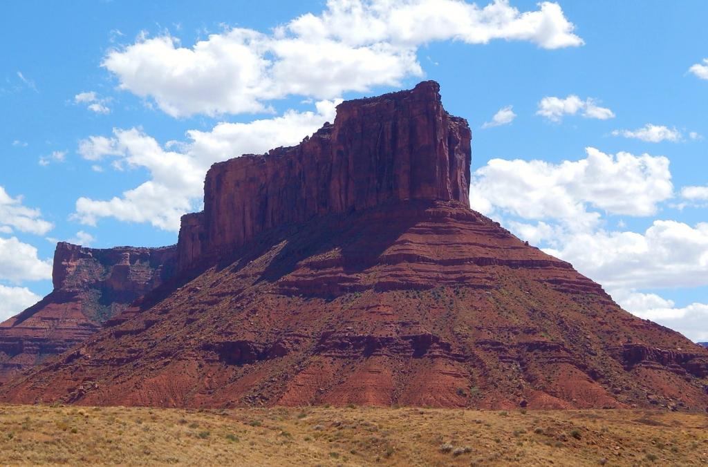 Parriott MesaSummit · ~17 min drivePhoto: Ron Clausen, CC BY-SA 4.0 (via Wikimedia Commons)
 Mount MellenthinSummit · ~18 min drivePhoto: RichieB_pics, CC BY 2.5 (via Wikimedia Commons)Mount PealeSummit · ~21 min drivePhoto: Suffusion of Yellow, CC BY-SA 3.0 (via Wikimedia Commons)Mount TukuhnikivatzSummit · ~21 min drivePhoto: Erik Wilde, CC BY-SA 2.0 (via Wikimedia Commons)
 South MountainSummit · ~25 min drivePhoto: RichieB_pics, CC BY 3.0 (via Wikimedia Commons)
 Elephant ButteSummit · ~31 min drivePhoto: Ron Clausen, CC BY-SA 4.0 (via Wikimedia Commons)
 Tower of BabelSummit · ~35 min drivePhoto: Alen Ištoković, CC BY 3.0 (via Wikimedia Commons)
 Three PenguinsSummit · ~36 min drivePhoto: Ken Lund from Reno, Nevada, USA, CC BY-SA 2.0 (via Wikimedia Commons)
Also worth it near here
 Bachelor BasinMountain biking · ~9 min drivePhoto: Matt Lavin, CC BY-SA 2.0 (via Wikimedia Commons)
 Upper Porcupine SingletrackHiking · ~11 min drivePhoto: Fredlyfish4, CC BY-SA 4.0 (via Wikimedia Commons)Onion CreekRock climbing · ~12 min drivePhoto: Bureau of Land Management - Utah, Public domain (via Wikimedia Commons)
