


Red Desert RV Park
Hiking business nearby (~16 mi away) — hasn't claimed their Roamze page yet
Free — you'll pick up right here.
Watch this trail
Sign up to watch it — saving subscribes you to gate, closure and report changes.
Utah
2.3 mi
Distance
426 ft
Gain
58 min
Time
We won't guess. Here is exactly what we do and don't know.
What we do know
Inside Manti-La Sal National Forest
2 managing-area boundaries mapped — agency alerts for them feed this page automatically.
Boundary data
What's missing
No access route mapped
We don't yet know which road reaches this trailhead, so we can't tell you if it's gated.
Nobody's filed a report here yet — be the first.
Why you'll love it
Fisher Mesa
AI-suggested draft · review before you go
No permit or access details on file for this trail — check with the local land manager before you go.
Fisher Mesa offers a scenic 2.28-mile loop through Utah's high desert landscape with modest elevation gain of 426 feet. This trail provides excellent views of the surrounding mesa country and is ideal for hikers seeking a shorter outing with manageable terrain. The route traverses typical Utah slickrock and sandy sections characteristic of the region's unique geology.
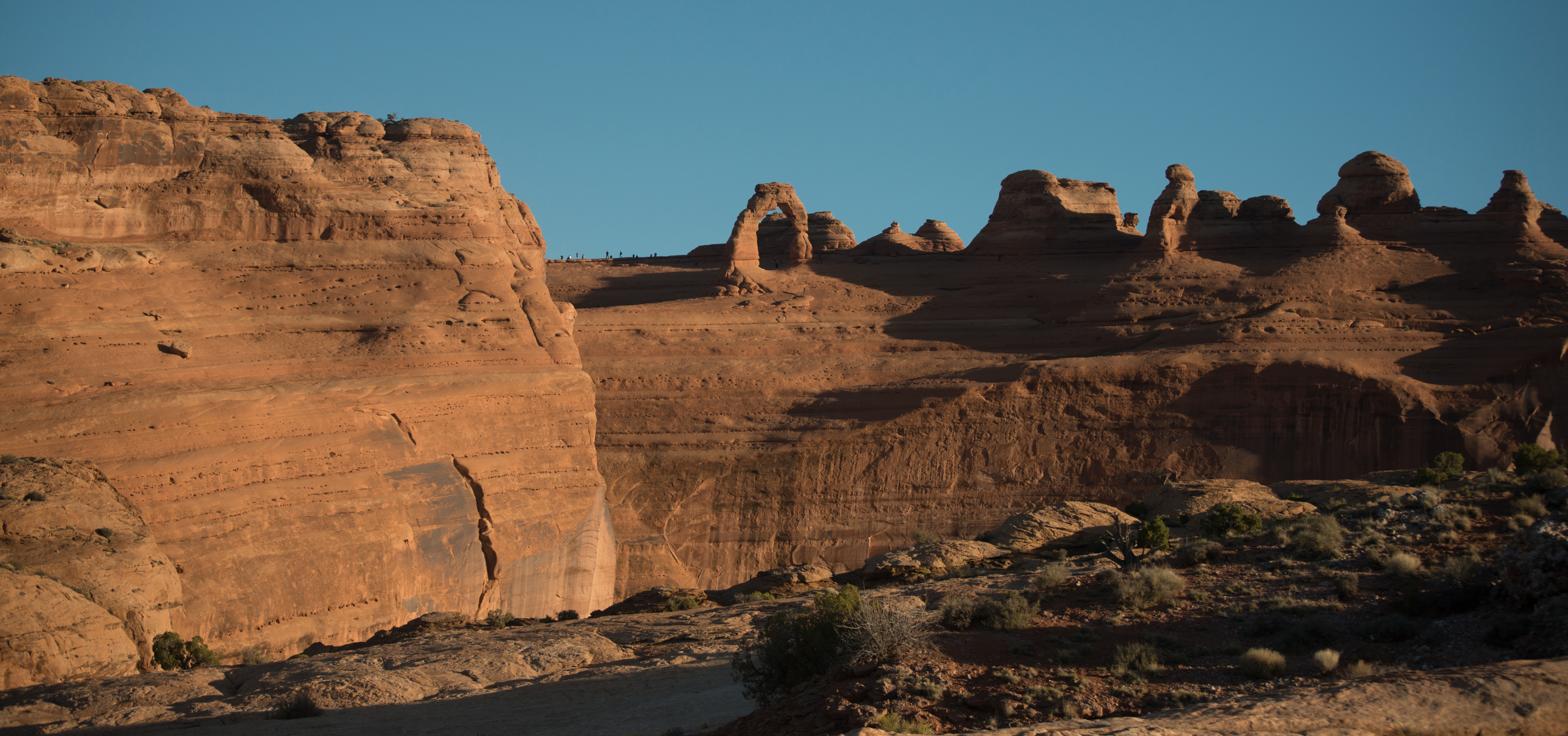
Delicate Arch Viewpoint Trails
~27 min drive
<p>Delicate Arch is the most famous arch in the park and a must-see for many visitors. View it from a distance at one of two viewpoints, both reachable from this trailhead. </p> <h4><strong>Lower Delicate Arch Viewpoint</strong></h4> <ul role="list"> <li aria-setsize="-1" data…
Miners Basin (Sz)
~11 min drive
Moderate 5.2-mile alpine basin hike with 1,278 ft elevation gain.
Gold Knob
~13 min drive
Short summit hike with steady elevation gain and scenic views.
Mountain View
~13 min drive
Short scenic hike with steady elevation gain and panoramic views.
Hideout Road
~6 min drive
Moderate 9.19-mile trail with 2,210 ft gain near Hideout, Utah.
Lower Jimmy Keen
~13 min drive
Easy 3.24-mile trail with 242 ft gain through scenic Utah terrain.
Beaver Basin Trail
~13 min drive
Short, easy basin hike perfect for a quick outdoor outing.
Hazard County
~13 min drive
Easy 2-mile trail with 324 ft gain in Hazard County, Utah.
Taylor Flat Road
~6 min drive
Moderate 7.26-mile road climb with 2,387 ft elevation gain in Utah.
Schuman
~14 min drive
Easy 3-mile loop with minimal elevation gain near Schuman, Utah.
Local operatorsoffering guided trips. You book directly with them — Roamze doesn’t take a cut.
Red Desert RV Park
Hiking business nearby (~16 mi away) — hasn't claimed their Roamze page yet
Spanish Trail RV Park
Hiking business nearby (~16 mi away) — hasn't claimed their Roamze page yet
Moab Rim Campark
Hiking business nearby (~17 mi away) — hasn't claimed their Roamze page yet