

CampV
Fishing business nearby (~42 mi away) — hasn't claimed their Roamze page yet
Free — you'll pick up right here.
Watch this water
Sign up to watch it — saving subscribes you to gate, closure and report changes.
Utah
We won't guess. Here is exactly what we do and don't know.
What we do know
Inside Manti-La Sal National Forest
2 managing-area boundaries mapped — agency alerts for them feed this page automatically.
Boundary data
What's missing
No access route mapped
We don't yet know which road reaches this trailhead, so we can't tell you if it's gated.
Nobody's filed a report here yet — be the first.
Why you'll love it
La Sal Loop - Moab Front Recreation Area
AI-suggested draft · review before you go
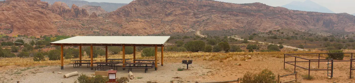
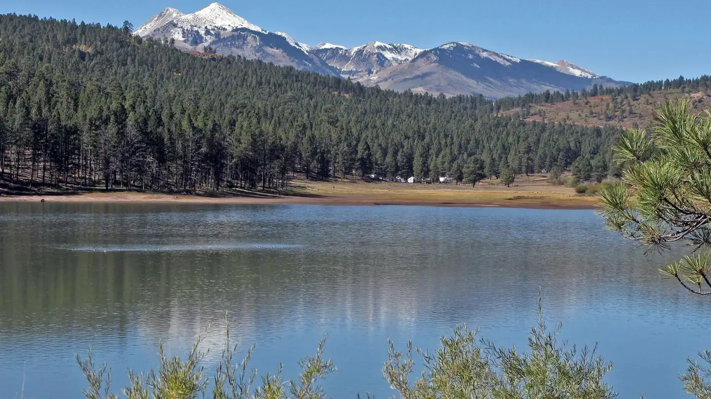
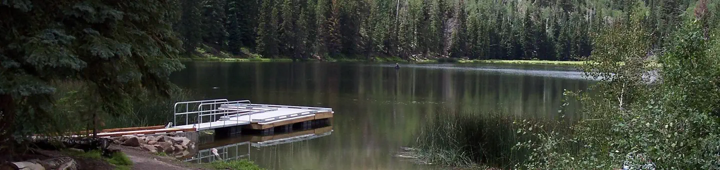
The La Sal Loop - Moab Front Recreation Area is in southeastern Utah just outside of Moab. The La Sal Mtn. Loop Rd. starts south of Moab, climbs up into the mountains and traverses the western side of the mountains to come out in Castle Valley, UT. This area includes 3 campgrounds: Warner Lake, Oowah Lake, and Mason Draw. Perhaps one of the most photographed mountain ranges in Utah, the La Sal Mountains form a spectacular backdrop to the red rock features in the desert below.This recreation area provides many opportunities for scenic drives, motorized activities such as motorcycle riding, ohv riding, and hiking, mountain and road biking, rock climbing, camping, peak-bagging, backcountry skiing, hunting, fishing, and snowmobiling. For winter recreation, the Geyser Pass trailhead, is one of the best places to go.
Ken's Lake Group Sites
~12 min drive
A worthwhile stop near Utah.
Dewey Bridge Campground
~10 min drive
A worthwhile stop near Utah.
Buckeye Recreation Area
~24 min drive
A worthwhile stop near Colorado.
Goose Island Campground
~28 min drive
A worthwhile stop near Utah.
Oak Cabin
~1h drive
A worthwhile stop near Colorado.
Dewey Bridge Recreation Site
~38 min drive
A worthwhile stop near Utah.
Aspen Leaf Cabin (Uncompahgre National Forest, Co)
~1h drive
A worthwhile stop near Colorado.
Potash Evaporation Ponds
~36 min drive
A worthwhile stop near Utah.
Potash Evaporation Ponds
~36 min drive
A worthwhile stop near Utah.
Potash Evaporation Ponds
~36 min drive
A worthwhile stop near Utah.
Local operators near Moaboffering guided trips. You book directly with them — Roamze doesn’t take a cut.
CampV
Fishing business nearby (~42 mi away) — hasn't claimed their Roamze page yet
