Bridger Campground
Campground
Campground · 4.3 mi from the trail
No closures listed
The Forest Service lists no closures for Uinta-Wasatch-Cache National Forest.
As of · Source: USFS · Uinta-Wasatch-Cache National Forest. Agencies don't list every closure — check before you go.
Providence Canyon Trail is a mountain biking route in the Logan Ranger District of the Uinta-Wasatch-Cache National Forest in northern Utah, managed by the Forest Service. The trail is about 3.5 miles long, with a total elevation gain of 1,570 feet, starting at roughly 5,116 feet and climbing to about 6,702 feet. The Providence Canyon climbing area sits just 0.1 mile away, and the Providence Canyon Winter Sport route is about 0.6 mile off. The Ridgeline Trail, a hike, is about 0.9 mile away, and Spring Hollow Campground is about 5 miles out.
Bridger Campground
Campground
 If it rainsNtsimp, Public domain · Wikimedia Commons
Places © OpenStreetMap contributors · Photos: Ntsimp, Public domain (commons)
More in ParadiseNot on Roamze yet. Their page has how to reach them.
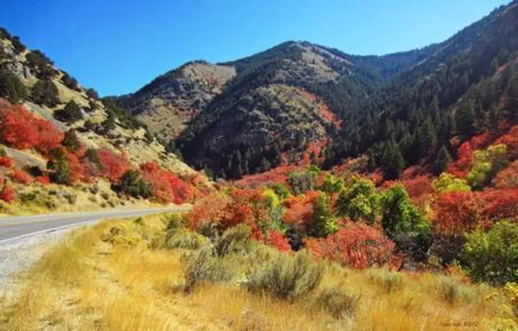 Blacksmith Fork Guard StationCampingPhoto: Recreation.gov (RIDB) / public domain5.2 mi
Source: Roamze catalog (indexable pages within 10 miles, PostGIS distance)
 Spring HollowMountain biking · ~8 min drivePhoto: Bas van Oorschot, CC BY-SA 3.0 (via Wikimedia Commons)BeirdneauMountain biking · ~13 min drivePhoto: Bas van Oorschot, CC BY-SA 3.0 (via Wikimedia Commons)
Also worth it near here
Map and trail data © OpenStreetMap contributors
