Middle Ranger
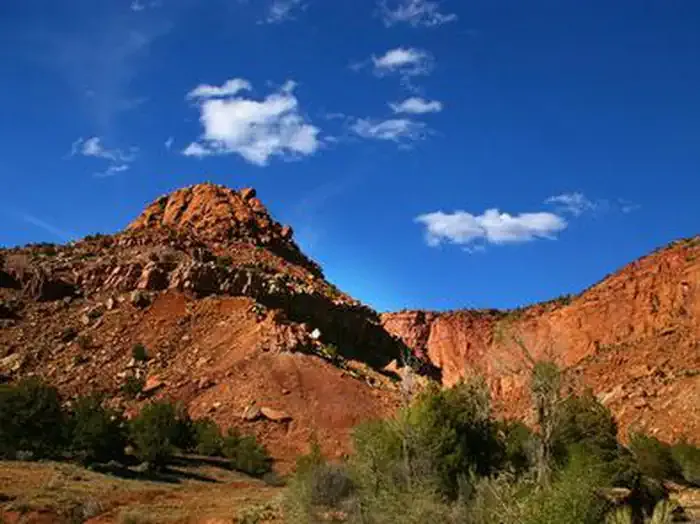
 Photo: runt35, CC BY 3.0 (via Wikimedia Commons)
- 6.6 mi
- distance
- 2,899 ft
- climb
Is Middle Ranger open right now?
Alert in the area
The Forest Service lists 2 alerts for Fishlake National Forest.
PST 66 Rock Canyon Trail Temporarily Closed
Agency alert covering Fishlake National Forest · USFS · Fishlake National Forest
TERMINATION OF STAGE 1 FIRE RESTRICTION ORDER
Agency alert covering Fishlake National Forest · Order 0408-26-10 · USFS · Fishlake National Forest
As of · Source: USFS · Fishlake National Forest. Agencies don't list every closure — check before you go.
Middle Ranger is a mountain biking route in the Fremont River Ranger District of Fishlake National Forest in Utah, about 6.6 miles long. It starts around 7,173 feet and climbs to about 9,734 feet, with a total elevation gain of 2,899 feet. The Forest Service manages the land. The route makes a good base for exploring the surrounding district, with several other outdoor destinations within a short drive. Sunglow Campground and the Sunglow Rec Site are both about 1.2 miles away, and the Bare Spot and Hell's Hole hikes lie about 1.8 and 1.9 miles off. The Fremont River is about 2.7 miles away for paddling.
Local outfitters
- Sand Creek RV Park & Campground6 mi away
- Escalante Outfitters41 mi away
Not on Roamze yet. Their page has how to reach them.
 Sunglow CampgroundCampingPhoto: Recreation.gov (RIDB) / public domain1.2 mi
- Sunglow - Rec SiteCamping1.2 mi
- Bare SpotHiking1.8 mi
- Hell's HoleHiking1.9 mi
- Fremont RiverCanoeing2.7 mi
 Cooks MesaRock climbingPhoto: runt35, CC BY 3.0 (via Wikimedia Commons)7.6 mi
 White Harlem WallRock climbingPhoto: snikrap, CC BY 2.0 (via Wikimedia Commons)8 mi
- Fremont River Ranger DistrictRiver fishing8.9 mi
Source: Roamze catalog (indexable pages within 10 miles, PostGIS distance)
- Indian SpringsMountain biking · ~4 min drivePhoto: runt35, CC BY 3.0 (via Wikimedia Commons)
 Bare SpotMountain biking · ~4 min drivePhoto: runt35, CC BY 3.0 (via Wikimedia Commons)
- Cold SpringsMountain biking · ~4 min drivePhoto: runt35, CC BY 3.0 (via Wikimedia Commons)
 Great Western Trail, LoaMountain biking · ~6 min drivePhoto: runt35, CC BY 3.0 (via Wikimedia Commons)
- Great Western Trail AlternateMountain biking · ~7 min drivePhoto: runt35, CC BY 3.0 (via Wikimedia Commons)
 Trail 2092Mountain biking · ~7 min drivePhoto: runt35, CC BY 3.0 (via Wikimedia Commons)
 LakeshoreMountain biking · ~29 min drivePhoto: J Zapell, Public domain (via Wikimedia Commons)
- Hell's HoleMountain biking · ~4 min drivePhoto: runt35, CC BY 3.0 (via Wikimedia Commons)
- Cedar CreekMountain biking · ~7 min drive
- Gwt Alt (Sand Cr- Deep Cr Spr)Mountain biking · ~8 min drive

Map and trail data © OpenStreetMap contributors
