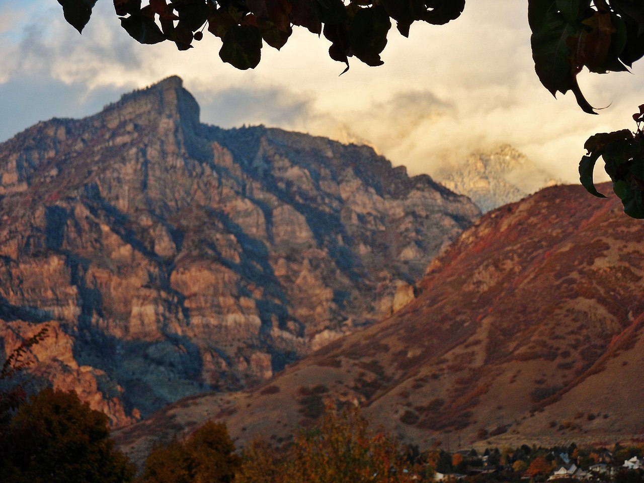
Hope
Campground
Campground · 0.9 mi from the trail
 Photo: Aehlert95, CC BY-SA 4.0 (via Wikimedia Commons)
No closures listed
The Forest Service lists no closures for Uinta-Wasatch-Cache National Forest.
As of · Source: USFS · Uinta-Wasatch-Cache National Forest. Agencies don't list every closure — check before you go.
Little Rock Trail is a mountain biking route in Utah's Uinta-Wasatch-Cache National Forest, within the Pleasant Grove Ranger District. The Forest Service manages the land, and the trail rises from about 5,400 feet to about 7,200 feet over roughly 2.7 miles, with a total elevation gain of 1,862 feet. Summer is the most comfortable time to ride. Typical averages from a nearby weather station at Sundance, which sits about 600 feet lower than the trail's high point, show July highs around 81°F with lows near 58°F, while winter highs stay near freezing. The trail makes a good base for exploring the surrounding area. Little Rock Canyon Boulders and the Little Rock Canyon hike both lie about half a mile away, and the Squaw Peak Ridge Trail is a similar distance off. Hope campground is about 0.9 miles away.
Hope
Campground
Rodrizio Grill
Restaurant
 If it rainsGreenwoodKL, CC BY-SA 3.0 · Wikimedia Commons
Life sciences museum at Brigham Young University in Provo, Utah, United States
Places © OpenStreetMap contributors · Photos: GreenwoodKL, CC BY-SA 3.0 (commons)
More in HeberNot on Roamze yet. Their page has how to reach them.
Best months: May–September. Best months have typical highs of 55–85 °F, lows of 30 °F or warmer (32 °F where the station doesn't record snow), at most one snowy day and no more than 12 wet days.
Jan
32° / 19°
Feb
33° / 20°
Mar
42° / 26°
Apr
49° / 32°
May
62° / 40°
Jun
73° / 49°
Jul
81° / 58°
Aug
80° / 56°
Sep
68° / 47°
Oct
53° / 36°
Nov
40° / 26°
Dec
31° / 19°
Typical high / low (°F) and days with rain or snow, 1991–2020. Measured at Sundance, UT, 7.3 mi away at 6,620 ft. The station sits about 600 ft lower than this place, so expect it a little cooler here. This station doesn't record snowfall. Source: NOAA NCEI U.S. Climate Normals 1991–2020.
 Photo: Todd Kirby, CC BY 3.0 (via Wikimedia Commons)
Bonneville Shoreline Trail
~2 min drive
1.77-mile trail in Provo River Parkway, Utah, gains 598 ft of elevation.
RIDE
Little Rock Trail
~2 min drive
2.24-mile out-and-back singletrack in Utah with 125 ft elevation gain.
RIDE
Luna's Trail
~3 min drive
0.93-mile out-and-back singletrack in Utah with 391 ft gain
RIDE
Boardman Spring Trail
~9 min drive
0.5 mi · Expert
RIDE
Aspen Patch Road
~12 min drive
0.41-mile out-and-back trail in Utah with 88 ft elevation gain.
 Photo: A J Butler, CC BY 3.0 (via Wikimedia Commons)
Stewarts Cascade Trail
~12 min drive
1.76-mile trail in South Fork, Utah with 869 ft elevation gain.
RIDE
Battle Creek Trail
~11 min drive
Battle Creek Trail is a hard singletrack trail in Utah.
RIDE
Mahogany Bench Trail - Direct
~13 min drive
0.33-mile out-and-back singletrack in Utah with 311 ft elevation gain.
RIDE
Mount Timpanogos Trail
~13 min drive
0.26-mile easy singletrack out-and-back on Mount Timpanogos with 132 ft gain.
 Photo: photophat, CC BY 3.0 (via Wikimedia Commons)
Mount Timpanogos
~13 min drive
6.01-mile trail in Utah's South Fork with 4,999 ft elevation gain
Map and trail data © OpenStreetMap contributors