National Guard Dispersed Area
Campground
Campground · 0.8 mi from the trail
No closures listed
The Forest Service lists no closures for Uinta-Wasatch-Cache National Forest.
As of · Source: USFS · Uinta-Wasatch-Cache National Forest. Agencies don't list every closure — check before you go.
Little Rock Trail is a hard mountain biking route in the Pleasant Grove Ranger District of the Uinta-Wasatch-Cache National Forest in Utah, managed by the Forest Service. It is an out-and-back with a one-way distance of about 4.5 miles, a total elevation gain of about 1,800 feet and a climb from about 5,440 feet to about 7,240 feet. Summer is the most comfortable time to ride. Typical averages from the nearby Sundance weather station, about 8 miles away, show July highs near 81°F with lows around 58°F, while winter highs stay in the low 30s. The trail sits close to several other destinations. Buffalo Peak Trail is about 0.6 miles away, and the West-facing Wall and South-Facing Wall climbing areas are each about 0.7 miles off. Hope campground is about 1.7 miles away.
National Guard Dispersed Area
Campground
ONOs
Restaurant
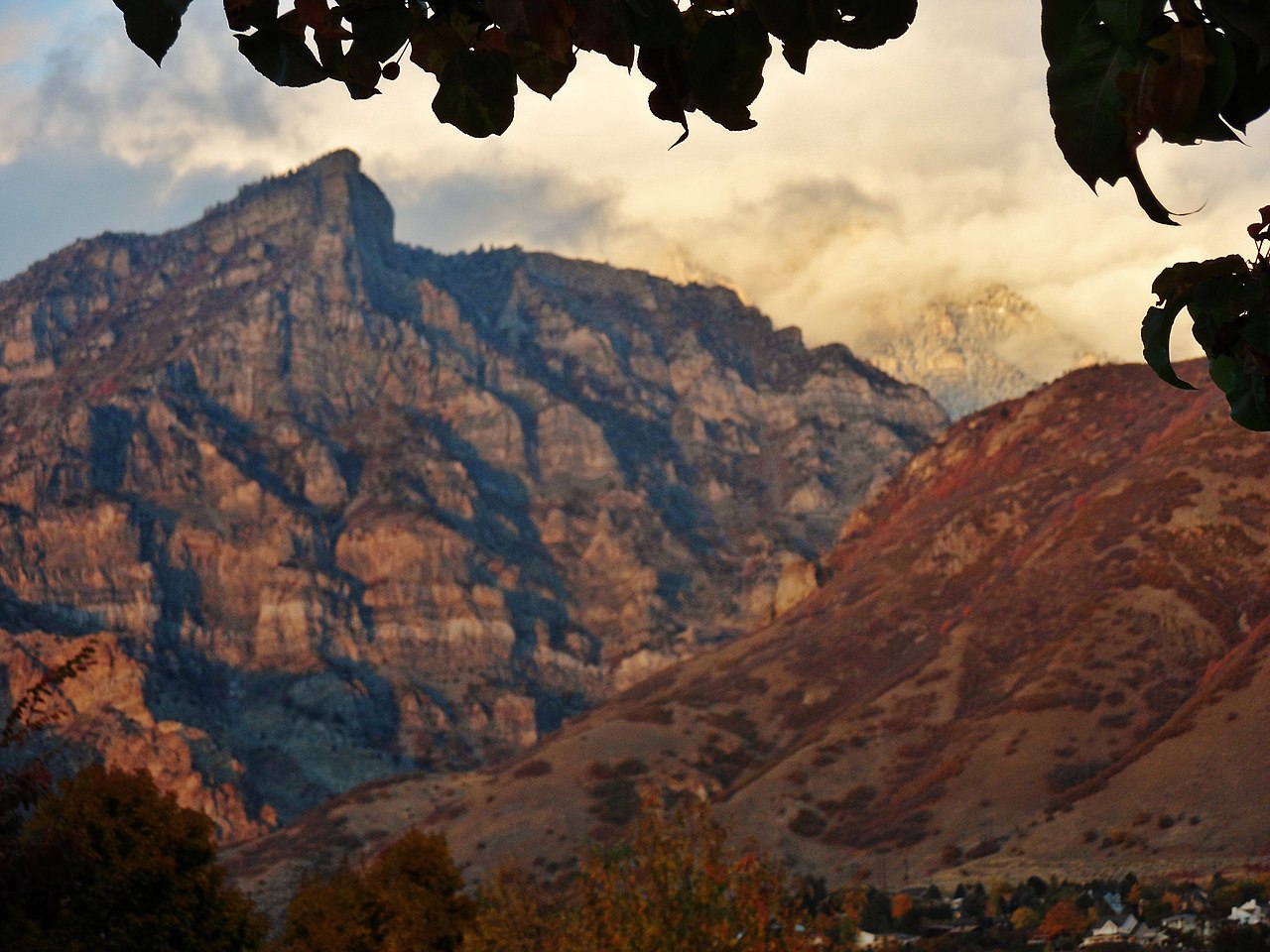
 If it rainsGreenwoodKL, CC BY-SA 3.0 · Wikimedia Commons
Life sciences museum at Brigham Young University in Provo, Utah, United States
Places © OpenStreetMap contributors · Photos: GreenwoodKL, CC BY-SA 3.0 (commons)
More in HeberNot on Roamze yet. Their page has how to reach them.
Best months: May–September. Best months have typical highs of 55–85 °F, lows of 30 °F or warmer (32 °F where the station doesn't record snow), at most one snowy day and no more than 12 wet days.
Jan
32° / 19°
Feb
33° / 20°
Mar
42° / 26°
Apr
49° / 32°
May
62° / 40°
Jun
73° / 49°
Jul
81° / 58°
Aug
80° / 56°
Sep
68° / 47°
Oct
53° / 36°
Nov
40° / 26°
Dec
31° / 19°
Typical high / low (°F) and days with rain or snow, 1991–2020. Measured at Sundance, UT, 8 mi away at 6,620 ft. The station sits about 600 ft lower than this place, so expect it a little cooler here. This station doesn't record snowfall. Source: NOAA NCEI U.S. Climate Normals 1991–2020.
 Photo: Aehlert95, CC BY-SA 4.0 (via Wikimedia Commons)
Little Rock Trail
~2 min drive
2.68-mile trail in Provo River Parkway, 250 ft elevation gain
RIDE
Kyhv Peak Trail
~2 min drive
2-mile out-and-back singletrack in Utah with 1,701 ft elevation gain.
RIDE
Boardman Spring Trail
~7 min drive
0.5 mi · Expert
RIDE
Battle Creek Trail
~13 min drive
Battle Creek Trail is a hard singletrack trail in Utah.
RIDE
Aspen Patch Road
~14 min drive
0.41-mile out-and-back trail in Utah with 88 ft elevation gain.
 Photo: Todd Kirby, CC BY 3.0 (via Wikimedia Commons)
Bonneville Shoreline Trail
~4 min drive
1.77-mile trail in Provo River Parkway, Utah, gains 598 ft of elevation.
RIDE
Luna's Trail
~5 min drive
0.93-mile out-and-back singletrack in Utah with 391 ft gain
RIDE
Battle Creek Trail
~13 min drive
1.80-mile hard singletrack out and back in Utah with 1,814 ft gain.
RIDE
Mount Timpanogos Trail
~15 min drive
Mount Timpanogos Trail is a singletrack trail in Utah rated easy / green circle.
Photo: Aehlert95, CC BY-SA 4.0 (via Wikimedia Commons)Luna's Trail
~5 min drive
0.93-mile trail with 391 ft elevation gain at Provo River Parkway
Map and trail data © OpenStreetMap contributors