Teeples
- 0.1 mi
- distance
- 84 ft
- climb
Is Teeples open right now?
Alert in the area
The Forest Service lists 2 alerts for Fishlake National Forest.
PST 66 Rock Canyon Trail Temporarily Closed
Agency alert covering Fishlake National Forest · USFS · Fishlake National Forest
TERMINATION OF STAGE 1 FIRE RESTRICTION ORDER
Agency alert covering Fishlake National Forest · Order 0408-26-10 · USFS · Fishlake National Forest
As of · Source: USFS · Fishlake National Forest. Agencies don't list every closure — check before you go.
Teeples is a short mountain biking route in the Fillmore Ranger District of Fishlake National Forest in Utah, about 5 miles from the town of Maple Grove. The Forest Service manages the land. The ride is a short climb of about 0.1 mile, with a total elevation gain of 84 feet from a low point of 7,877 feet to a high of 7,961 feet. It's a quick, low-commitment outing. Reese Canyon, a mountain biking route, and the Pioneer - Eagle Hollow hike both lie about 1.3 miles away. Teeples Ridge is about 2.4 miles off, and the Maple Grove climbing area is roughly 4.9 miles away.
Local outfitters
- Big Rock Candy Mountain34 mi away
- Big Rock Adventure34 mi away
Not on Roamze yet. Their page has how to reach them.
Keep exploring — more rides worth the drive
 Photo: QKC, CC BY-SA 3.0 (via Wikimedia Commons)
Pharo
~8 min drive
A 3.7-mile trail at Jacks Peak offering scenic Utah mountain biking.
Photo: QKC, CC BY-SA 3.0 (via Wikimedia Commons)North Maple Grove
~8 min drive
2.43-mile loop trail at Jacks Peak, Utah, gaining 2,718 feet.
Photo: QKC, CC BY-SA 3.0 (via Wikimedia Commons)Pharo-Willow Creek Peak Spur
~6 min drive
1.74-mile trail at Jacks Peak with 2,099 ft elevation gain
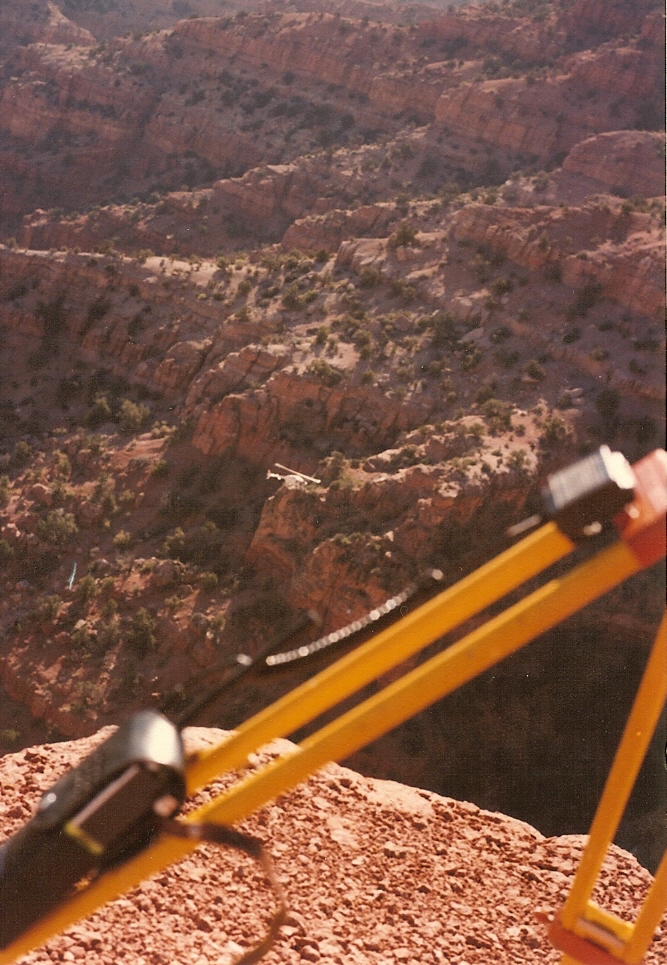 Photo: Lorne Kelly, CC BY-SA 3.0 (via Wikimedia Commons)
Crazy Hollow
~28 min drive
Crazy Hollow is a 4.24-mile trail at Sunset Peak in Utah.
RIDE
Reese Canyon
~2 min drive
4.18-mile trail at Jacks Peak with 3,945 ft elevation gain.
RIDE
Eagle Hollow Spur
~3 min drive
Quick 0.677-mile spur connector in Utah's Jacks Peak trail system.
RIDE
Pioneer - Eagle Hollow
~3 min drive
A 4-mile trail through Utah's Jacks Peak system with scenic hollow terrain.
RIDE
Teeples Ridge
~4 min drive
1.36-mile trail at Jacks Peak with 62 ft elevation gain
RIDE
Coal Mine
~5 min drive
Coal Mine is a 2.69-mile trail in Utah's Jacks Peak system with 2,700 ft of elevation gain.
RIDE
Rock Canyon/cedar Spr Spur
~7 min drive
1.99-mile trail at Jacks Peak with 2,110 ft elevation gain

Map and trail data © OpenStreetMap contributors
