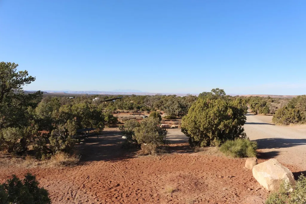
Overlook Campsite
Campground
Campground · 0.6 mi from the trail
Big Lonely Trail is a 6-mile out-and-back mountain biking route on Bureau of Land Management land in Utah's Moab Field Office. It rises about 275 feet from a low point of 5,353 feet to a high of 5,601 feet, and the climb is rated moderate. The most comfortable months for riding are late spring and early fall. Typical averages from a nearby weather station run from highs around 72°F in May to about 79°F in September, while July averages a high of 91°F and winter brings highs near 37°F with a few snowy days a month. Coney Island, a mountain biking spot, sits just 0.3 miles away, and Big Mesa Trail is about 1.3 miles off. Lone Mesa Group Sites, about 1.4 miles away, offers camping, and Four Arch Canyon, roughly 4.3 miles away, has rock climbing.
Overlook Campsite
Campground
Bar M Chuckwagon
Restaurant
 If it rainsBLMUtah, Public domain · Wikimedia Commons
Places © OpenStreetMap contributors · Photos: BLMUtah, Public domain (commons)
More in MoabNot on Roamze yet. Their page has how to reach them.
 Horsethief CampgroundCampingPhoto: Recreation.gov (RIDB) / public domain2.2 mi
 Four Arch CanyonRock climbingPhoto: runt35, CC BY 3.0 (via Wikimedia Commons)4.3 mi
 313 CorridorRock climbingPhoto: BFS Man from Webster, TX, USA, CC BY 2.0 (via Wikimedia Commons)4.7 mi
Source: Roamze catalog (indexable pages within 10 miles, PostGIS distance)
 Buttes and Towers TrailMountain biking · ~11 min drivePhoto: Foreade, CC BY-SA 4.0 (via Wikimedia Commons)Sevenmile Rim TrailMountain biking · ~12 min drivePhoto: Foreade, CC BY-SA 4.0 (via Wikimedia Commons)
 North 40Mountain biking · ~14 min drivePhoto: Jacob Montgomery, CC BY-SA 3.0 (via Wikimedia Commons)
Best months: April–June and September–October. Best months have typical highs of 55–85 °F, lows of 30 °F or warmer (32 °F where the station doesn't record snow), at most one snowy day and no more than 12 wet days.
Jan
37° / 22°
4 wet · 4 snow
Feb
43° / 27°
4 wet · 3 snow
Mar
54° / 35°
5 wet · 2 snow
Apr
62° / 40°
5 wet · 1 snow
May
72° / 50°
5 wet
Jun
85° / 62°
3 wet
Jul
91° / 68°
6 wet
Aug
88° / 66°
7 wet
Sep
79° / 57°
6 wet
Oct
65° / 44°
5 wet
Nov
49° / 33°
4 wet · 2 snow
Dec
37° / 23°
4 wet · 4 snow
Typical high / low (°F) and days with rain or snow, 1991–2020. Measured at Canyonlands-The Neck, UT, 10.8 mi away at 5,871 ft. Source: NOAA NCEI U.S. Climate Normals 1991–2020.
Map and trail data © OpenStreetMap contributors

