Water Canyon Trail
- 4.9 mi
- round trip
- 2,076 ft
- climb
- 10,254 ft
- high point
- Out and back
- route
Is Water Canyon Trail open right now?
Alert in the area
The Forest Service lists 3 alerts for Dixie National Forest.
Duck Creek OHV Trail Closure
Agency alert covering Dixie National Forest · Order 0407-26-11 · USFS · Dixie National Forest
Pine Valley Ranger District Area and Trail and Road Closure
Agency alert covering Dixie National Forest · Order 0407-26-01 · USFS · Dixie National Forest
Cedar City Temporary Road Closure Webster Flat Road (Order 0407-25-02)
Agency alert covering Dixie National Forest · Order 0407-25-02 · USFS · Dixie National Forest
As of · Source: USFS · Dixie National Forest. Agencies don't list every closure — check before you go.
Water Canyon Trail is a 4.9-mile out-and-back hike in the Escalante Ranger District of Dixie National Forest in southern Utah, about 11 miles from the town of Widtsoe. The Forest Service manages the land, and the trail's natural surface makes it a straightforward route for a day on foot. The climb is moderate, with an elevation gain of 2,076 feet from the low point at 8,164 feet to the high point at 10,254 feet. That makes it a steady, uphill walk rather than a steep scramble, and the trail's out-and-back shape lets you plan a return to the same starting point. For more time outdoors, Powell Point Trail lies about 2 miles away. The climbing areas of Upper Jungle and Lower Jungle sit roughly 3 miles off, and Pine Lake Campground is about 6 miles away for an overnight stay.
Local outfitters
- Under Canvas11 mi away
- Canyons of Escalante RV Park14 mi away
Not on Roamze yet. Their page has how to reach them.
- Powell Point TrailHiking2.2 mi
- Upper JungleRock climbing3 mi
 Lower JungleRock climbingPhoto: inkknife_2000 (7.5 million views +), CC BY-SA 2.0 (via Wikimedia Commons)3 mi
- Upper CanopyRock climbing3 mi
- Distant DrumRock climbing3.2 mi
- Under the Point TrailHiking3.5 mi
- Henderson Canyon TrailHiking3.8 mi
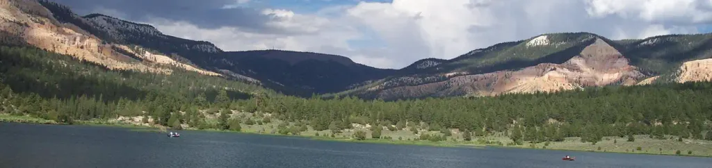 Pine Lake CampgroundCampingPhoto: Recreation.gov (RIDB) / public domain5.7 mi
Source: Roamze catalog (indexable pages within 10 miles, PostGIS distance)
- Mossy CaveHiking · ~24 min drive
 Eagle's View TrailHiking · ~24 min drivePhoto: Greg Willis from Denver, CO, usa, CC BY-SA 2.0 (via Wikimedia Commons)
- Water Canyon waysideHiking · ~24 min drive
- Under the Point TrailHiking · ~6 min drive
- Mossy Cave Trailhead WaysideHiking · ~24 min drive
- Great Western Trail - Sweetwater SectionHiking · ~15 min drive
- Tropic Ditch waysideHiking · ~24 min drive
- Henderson Canyon TrailHiking · ~9 min drive
- Powell Point TrailHiking · ~4 min drive
- Horizon Arch TrailHiking · ~21 min drive
Also worth it near here

