Henderson Canyon Trail
- 6.3 mi
- round trip
- 1,367 ft
- climb
- 8,872 ft
- high point
- Out and back
- route
- May–Oct
- best months
Is Henderson Canyon Trail open right now?
Alert in the area
The Forest Service lists 3 alerts for Dixie National Forest.
Duck Creek OHV Trail Closure
Agency alert covering Dixie National Forest · Order 0407-26-11 · USFS · Dixie National Forest
Pine Valley Ranger District Area and Trail and Road Closure
Agency alert covering Dixie National Forest · Order 0407-26-01 · USFS · Dixie National Forest
Cedar City Temporary Road Closure Webster Flat Road (Order 0407-25-02)
Agency alert covering Dixie National Forest · Order 0407-25-02 · USFS · Dixie National Forest
As of · Source: USFS · Dixie National Forest. Agencies don't list every closure — check before you go.
Henderson Canyon Trail is a 6.25-mile out-and-back hike in southern Utah, rising from 6,935 feet to 8,872 feet over the course of a 12.5-mile route. The climb is rated hard, and the trail sits within the Escalante Ranger District of Dixie National Forest, managed by the Forest Service. The most comfortable stretch for a visit runs from June through September. Typical averages from a nearby weather station at Bryce Canyon show July highs around 80°F with lows near 52°F, while temperatures at the trail's high point run cooler. That station sits about 980 feet below the trail's peak, so expect it to run a bit colder up top. Under the Point Trail lies about 1.7 miles away, and North Boulder and Jungle Grotto are both climbing areas roughly 2.2 miles off. Pine Lake Campground, about 4 miles away, offers a place to stay.
Local outfitters
- Under Canvas9 mi away
- Bryce Canyon Horseback Tours11 mi away
Not on Roamze yet. Their page has how to reach them.
- Under the Point TrailHiking1.7 mi
 North BoulderRock climbingPhoto: Wojtek Szkutnik, CC BY 3.0 (via Wikimedia Commons)2.2 mi
- Jungle GrottoRock climbing2.2 mi
- Powell Point TrailHiking2.8 mi
- Burro Canyon TrailHiking2.8 mi
- Great Western Trail - Cameron Wash SectionHiking2.9 mi
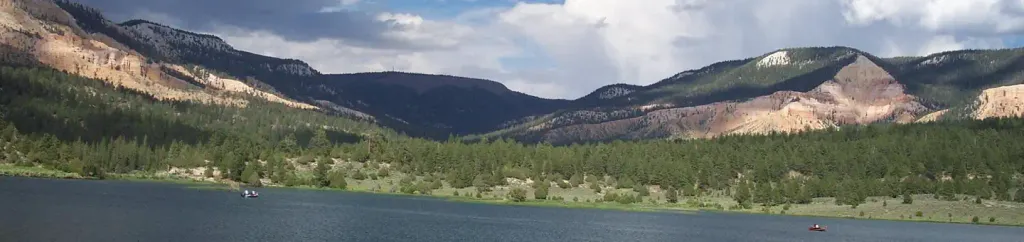 Pine Lake CampgroundCampingPhoto: Recreation.gov (RIDB) / public domain4.1 mi
- Upper CanopyRock climbing6 mi
Source: Roamze catalog (indexable pages within 10 miles, PostGIS distance)
- Mossy CaveHiking · ~15 min drive
- Water Canyon waysideHiking · ~16 min drive
 Eagle's View TrailHiking · ~19 min drivePhoto: Greg Willis from Denver, CO, usa, CC BY-SA 2.0 (via Wikimedia Commons)
- Under the Point TrailHiking · ~3 min drive
- Mossy Cave Trailhead WaysideHiking · ~15 min drive
- Tropic Ditch waysideHiking · ~16 min drive
- Fairyland Loop TrailheadHiking · ~19 min drive
- Burro Canyon TrailHiking · ~5 min drive
 Ruby Rim LoopHiking · ~18 min drivePhoto: Roger Sylvia, CC BY-SA 3.0 (via Wikimedia Commons)
- Mossy Cave Hike the Hoodoos waysideHiking · ~16 min drive
Also worth it near here
- North BoulderRock climbing · ~4 min drivePhoto: Wojtek Szkutnik, CC BY 3.0 (via Wikimedia Commons)
 Powell PointSummit · ~4 min drivePhoto: A. E. Crane, U.S. Department of Transportation, Public domain (via Wikimedia Commons)
- Pine Lake CampgroundCamping · ~7 min drive
- Promise Rock ArchNatural arch · ~18 min drive
Best time to visit Henderson Canyon Trail
Best months: May–October. Best months have typical highs of 55–85 °F, lows of 30 °F or warmer (32 °F where the station doesn't record snow), at most one snowy day and no more than 12 wet days.
Jan
37° / 17°
6 wet
Feb
39° / 18°
7 wet
Mar
46° / 23°
7 wet
Apr
54° / 29°
6 wet
May
63° / 37°
5 wet
Jun
75° / 45°
4 wet
Jul
80° / 52°
8 wet
Aug
77° / 50°
10 wet
Sep
70° / 42°
7 wet
Oct
58° / 32°
5 wet
Nov
46° / 23°
5 wet
Dec
37° / 17°
6 wet
Typical high / low (°F) and days with rain or snow, 1991–2020. Measured at Bryce Canyon Np Hqrs, UT, 12.6 mi away at 7,890 ft. The station sits about 1,000 ft lower than this place, so expect it a little cooler here. This station doesn't record snowfall. Source: NOAA NCEI U.S. Climate Normals 1991–2020.
Map and trail data © OpenStreetMap contributors
