Potters Pond
Campground
The next 6 weekends are full on Recreation.gov
No closures listed
The Forest Service lists no closures for Manti-La Sal National Forest.
As of · Source: USFS · Manti-La Sal National Forest. Agencies don't list every closure — check before you go.
South Tent Mountain Summit is a moderate, out-and-back hike of about 2.4 miles on the Forest Service land of the Manti-La Sal National Forest, within the Ferron Ranger District in Utah. The route rises from a low point of about 10,864 feet to a high of 11,267 feet, with a total elevation gain of 980 feet for the round trip. The climb starts at about 11,064 feet and the steepest stretch comes early, around the 0.25-mile mark, with a grade of about 23 percent. The terrain is rolling, and the total gain and loss are each roughly 980 feet. The hike takes about 1.5 hours. North Tent Mountain and Canal Canyon are both within a mile, and Grassy Lake Fishing Site and Potters Pond are just under 6 miles away.
Potters Pond
Campground
 If it rainsGranary arts, CC BY-SA 4.0 · Wikimedia Commons
Granary Arts
Museum
Places © OpenStreetMap contributors, Places © Overture Maps Foundation · Photos: Granary arts, CC BY-SA 4.0 (commons)
More in Mount PleasantNot on Roamze yet. Their page has how to reach them.
Daily highs and lows, wind and the chance of precipitation at the summit and route start for the next 7 days, from the Open-Meteo model.
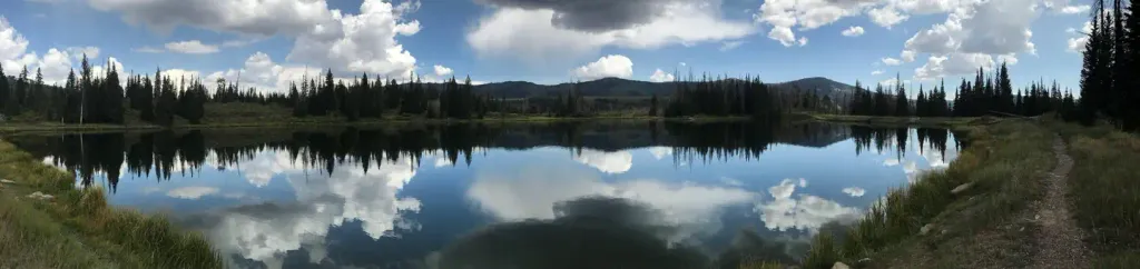 Potters PondCampingPhoto: Recreation.gov (RIDB) / public domain6.2 mi
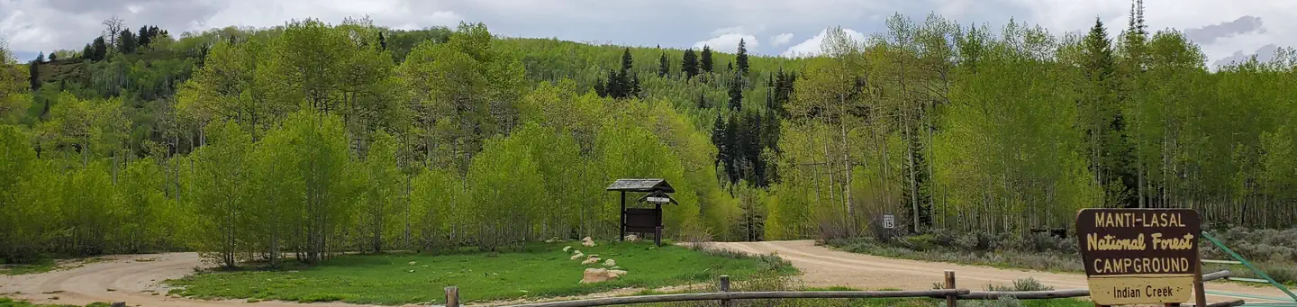 Indian CreekRiver fishing7.8 mi
Source: Roamze catalog (indexable pages within 10 miles, PostGIS distance)
 Jimmy's ForkHiking · ~15 min drivePhoto: Sanhuista, CC BY-SA 4.0 (via Wikimedia Commons)
About 1.2 mi round trip.
About 980 ft of climbing round trip.
It is rated moderate.
About 0.5 hours round trip.
Map and trail data © OpenStreetMap contributors
