Seely Creek Guard Station
Campground
6.3 mi from the trail
Canal Canyon is an out-and-back hike in the Ferron Ranger District of Manti-La Sal National Forest in Utah, managed by the Forest Service. The route is 12 miles long, with a one-way elevation gain of 3,914 feet. It is rated expert, a climb suited to prepared hikers rather than casual outings. For comfortable conditions, aim for late spring or early fall. Typical averages from a nearby weather station in Ephraim run from highs around 71°F in May to 79°F in September. July is the warmest month there, with highs near 91°F, while winter brings highs in the mid-30s and a few snowy days each month. North Tent Mountain lies just 0.3 miles away and South Tent Mountain Summit about 0.6 miles off. Grassy Lake Fishing Site is 5.7 miles away, and Seely Creek Guard Station offers camping roughly 6.3 miles from the trail.
Where it is: Ferron Ranger District · Manti-La Sal National Forest
Best months: April–June and September–October. Best months have typical highs of 55–85 °F, lows of 30 °F or warmer (32 °F where the station doesn't record snow), at most one snowy day and no more than 12 wet days.
Jan
36°
11°
6 wet · 2 snow
Feb
42°
17°
7 wet · 2 snow
Mar
54°
25°
8 wet · 1 snow
Apr
61°
30°
7 wet · 1 snow
May
71°
37°
6 wet
Jun
83°
44°
4 wet
Jul
91°
52°
4 wet
Aug
89°
50°
6 wet
Sep
79°
41°
5 wet
Oct
65°
30°
5 wet
Nov
51°
20°
5 wet · 1 snow
Dec
37°
11°
6 wet · 2 snow
Typical high / low (°F) and days with rain or snow, 1991–2020. Measured at Ephraim, UT, 11.9 mi away at 5,498 ft. We don't have this place's elevation, so higher spots nearby can run cooler. Source: NOAA NCEI U.S. Climate Normals 1991–2020.
Been here? Tell people how it was.
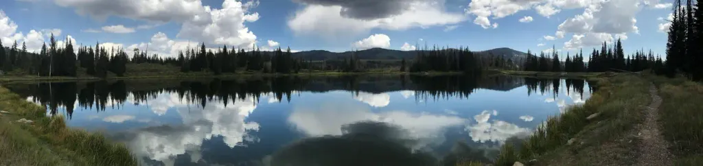 Potters PondCampingPhoto: Recreation.gov (RIDB) / public domain6.8 mi
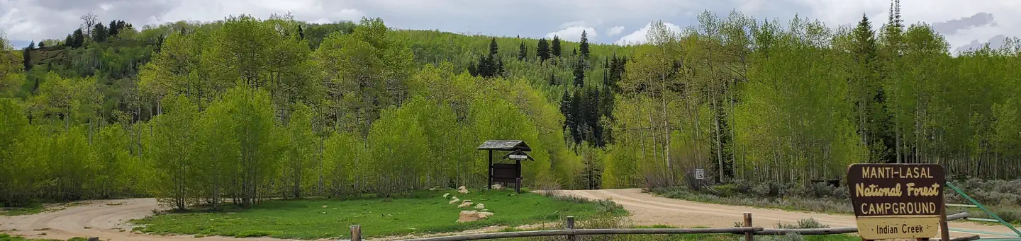 Indian CreekRiver fishing8.4 mi
 Jimmy's ForkHikingPhoto: Sanhuista, CC BY-SA 4.0 (via Wikimedia Commons)~14 min drive
Daily highs and lows, wind and the chance of precipitation at Start for the next 7 days, from the Open-Meteo model.
Questions about Canal Canyon: conditions, access, timing. Answers say when something isn't known.
Seely Creek Guard Station
Campground
 If it rainsGranary arts, CC BY-SA 4.0 · Wikimedia Commons
Granary Arts
Museum
Places © OpenStreetMap contributors, Places © Overture Maps Foundation · Photos: Granary arts, CC BY-SA 4.0 (commons)
More in Mount PleasantNot on Roamze yet. Their page has how to reach them.
